
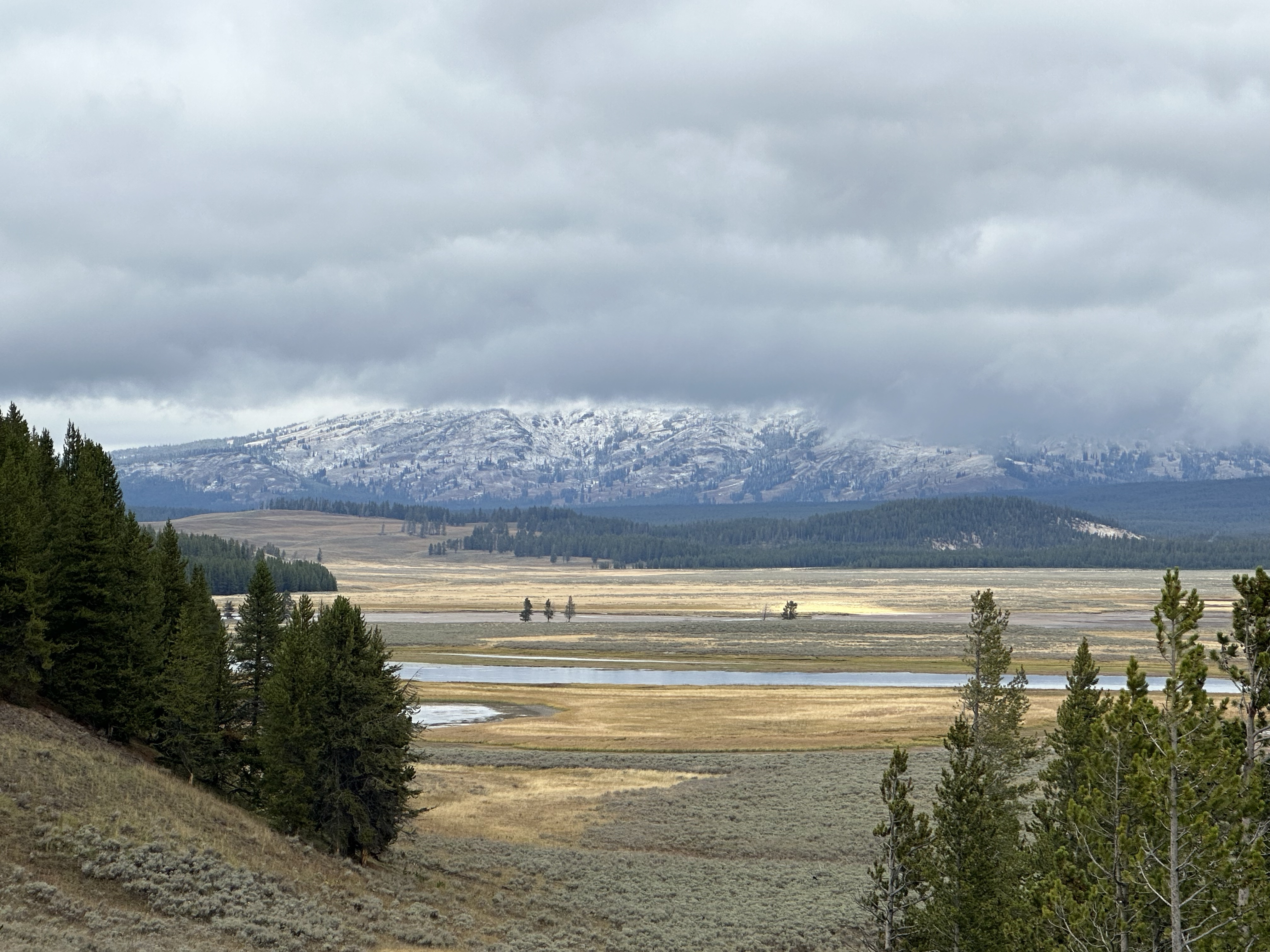
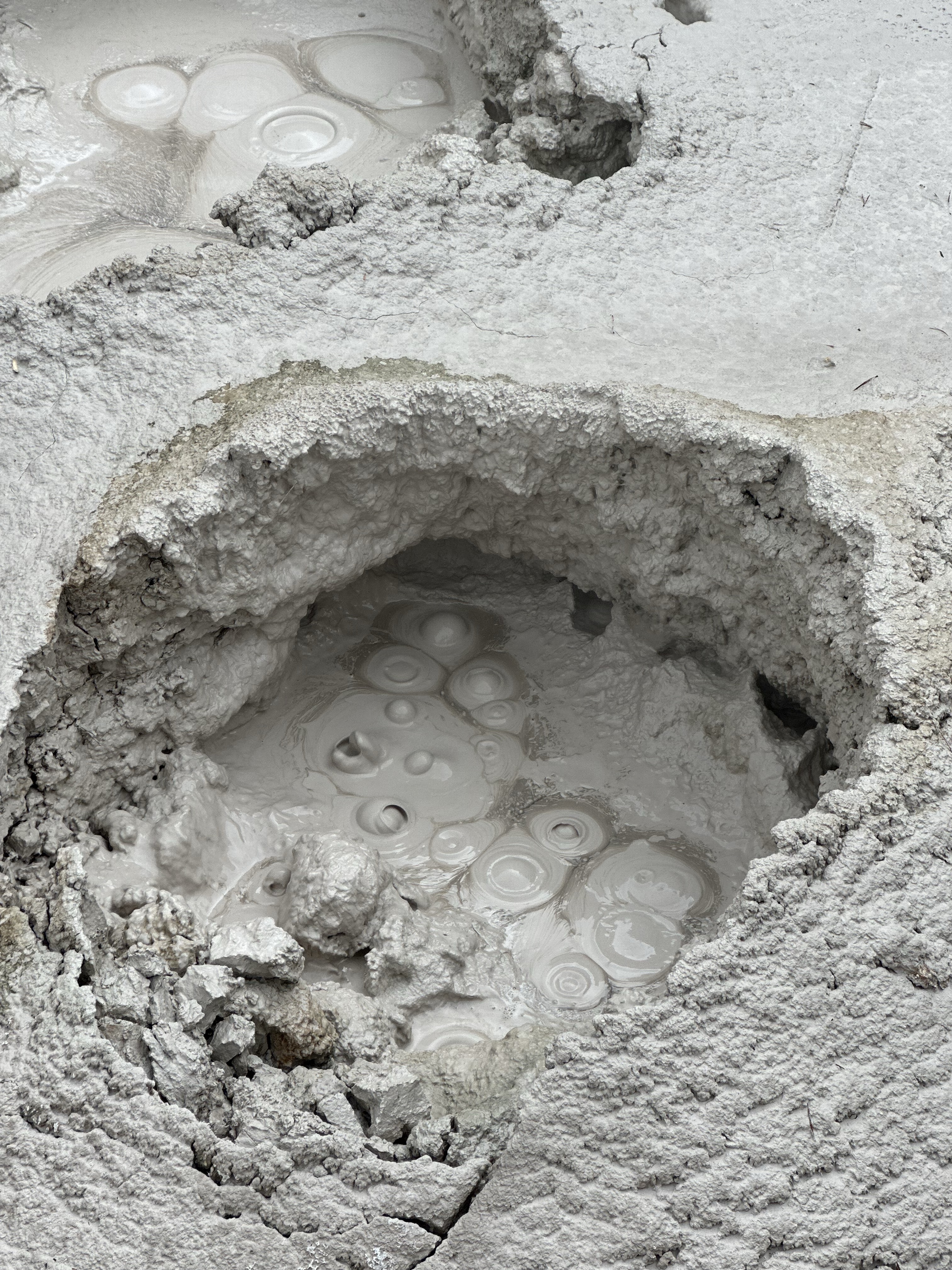
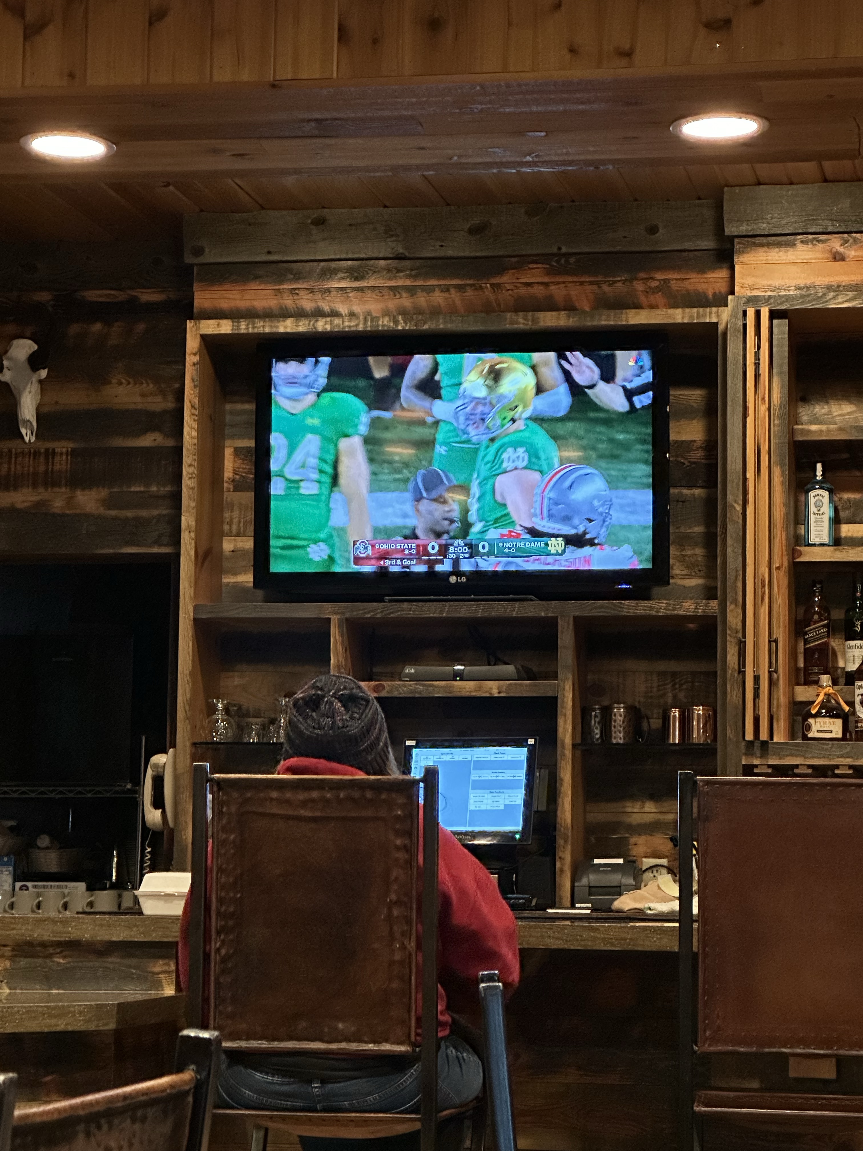
The route from Yellowstone to Grand Teton National Park was a stunning one. To get there means going back into Yellowstone, which on a weekend meant queues at the entrance gate, Jigsaw made friends with the other queuing folks in their cars. On Grand Loop Road we turned off at Yellowstone Lake and had a wander around a few more mud pots and Sulphur Caldron, the most acidic in the park and very aromatic ’twas too! Not sure what the fumes are doing for my skin though. Eventually we arrived at our camping just outside Teton and a short intro to the magnificence of the Teton Range over the waters near the lodge. We treated ourselves to a drink in the bar and watched a lady shout at the TV…

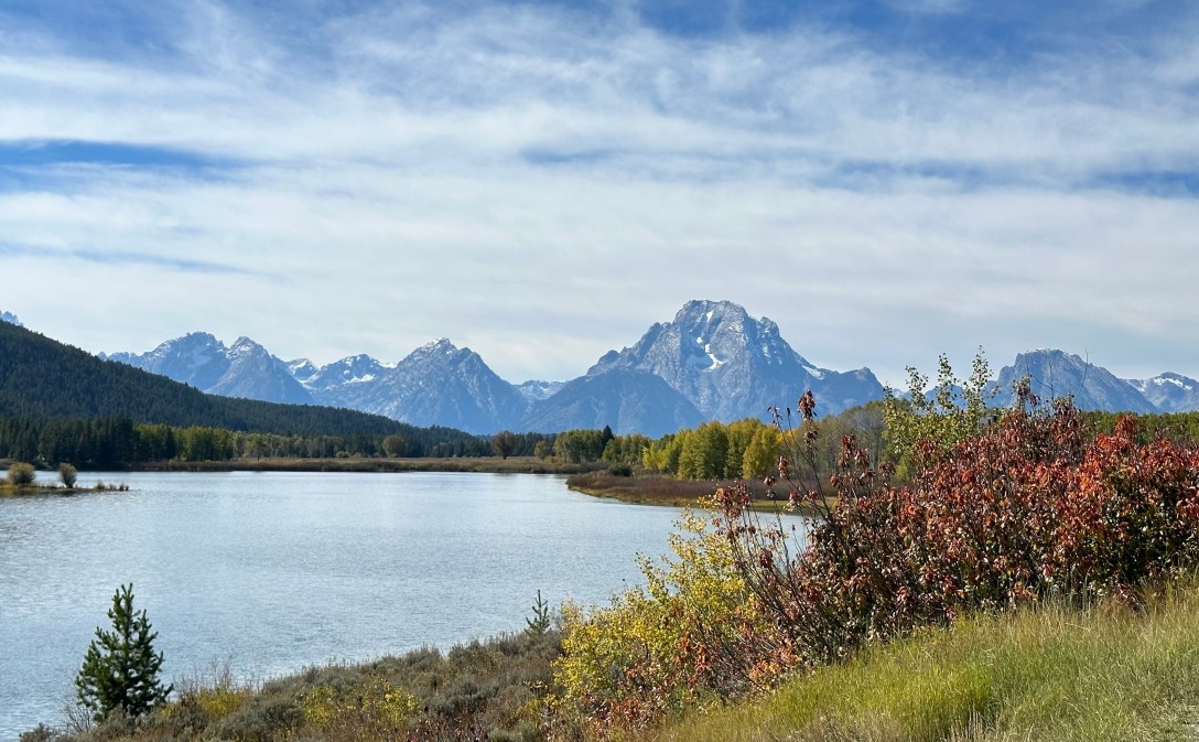
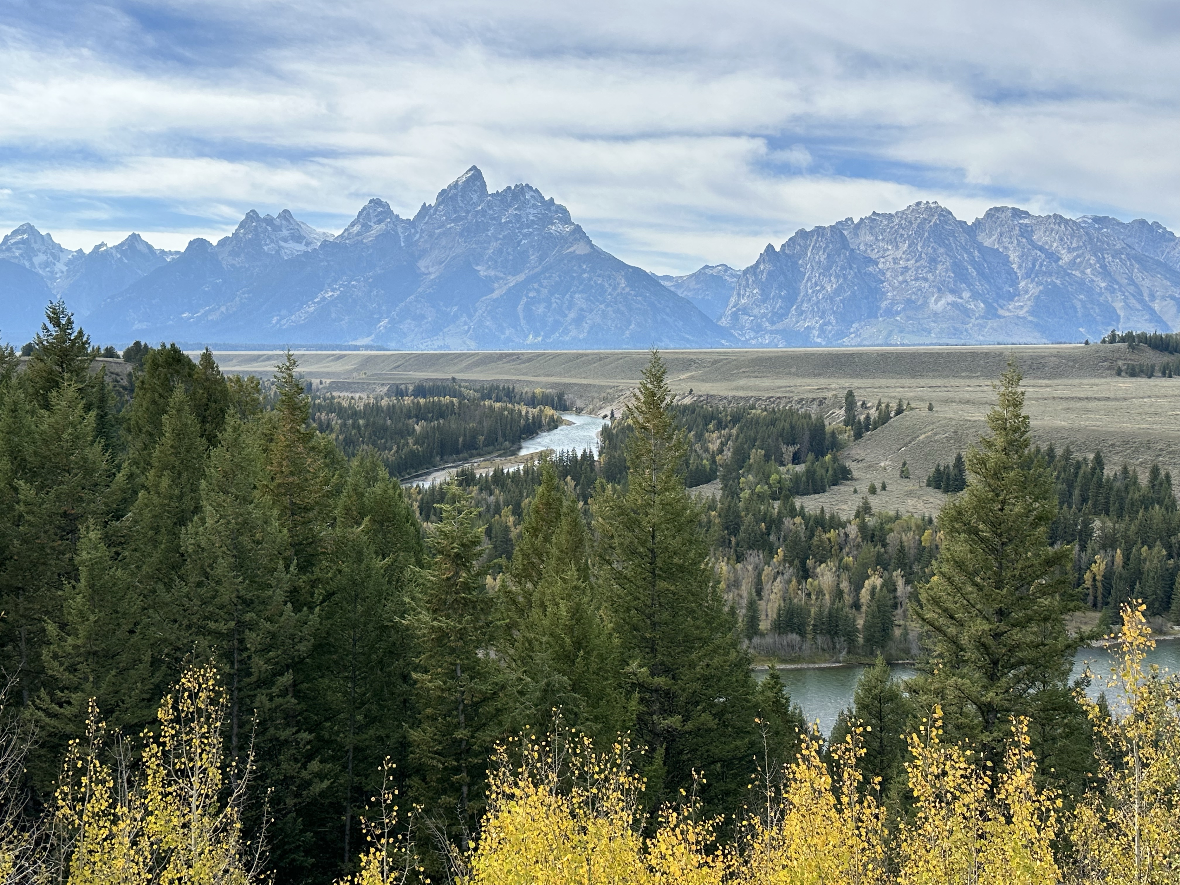
The Tetons are a very different kettle of fish to the Canadian Rockies and frankly, everywhere else we’ve been so far. It was obvious at first sight why Ansel Adams had fallen for them and why his photo’s made him a household name. Driving around, there are many places to stop and some short hikes got us to some breath taking scenery. Recent snow was dusting the mountains and the skies were blue. These are proper mountains, the kind we’d draw as children, jagged, dark and immense. Grand Teton and Mount Moran dominate the range.


The drive took us to many points, we saw Loons at Oxbow Bend, a distant Grizzly just off the Loop Road, Bald Eagles, wild horses and Pronghorn at Elk Ranch Flats (the Elk came out later!) Snake River Overlook is the point everyone heads to, where a famous AA shot was taken. Naturally, it looks different these days as it’s more tree dense, but it doesn’t stop everyone taking their own version. A long day out, hope the photos tell the tale.

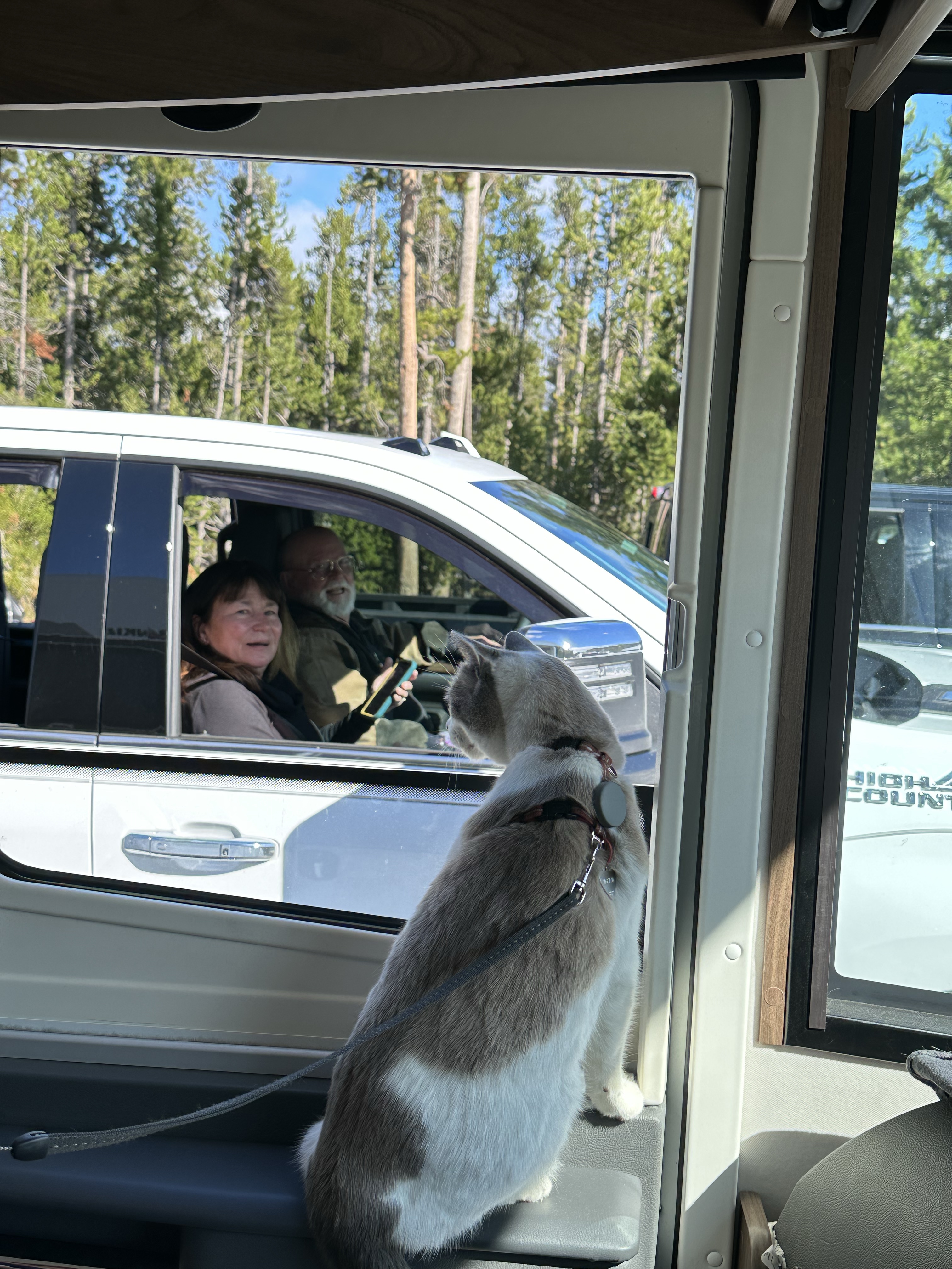
We decided to bike it into other parts of the park, it’s easier to stop when you want to and we could get away from the roads. We rolled along The Wagon Road exploring and being bear aware, as we were in woodland. We found a great spot at Cattlemans Bridge, still waters and birds. The challenge with it is people though. People who want to ask why we are on bikes for a start off and then want to spend a long time just chatting. We do enjoy a chat but sometimes we lose a lot of time to it! Not that time is an issue really! This was one of those days, from a couple who’s daughter was a pro Barrel Racer, to a Native American lady who’s husband was stood waist deep in water fishing (she was really interesting), to a couple from Florida who suggested that we could walk across the US Mexico border and just claim asylum to live here… to a local couple who said social media is ruining the Tetons… we got their point of view for sure. Actually, all the conversation were fun and laughter filled.


It’s all about the light… so the tall one says, at 6am when the alarm goes off 🙂 I thought it was all about the coffee but hey, who’s arguing when Ansel is calling… Back to Snake River we headed, tripod, big camera and filter thingy’s in hand. It was magical, the morning mist shrouding the Elk in the distance as the sun rose from the correct direction! Peaceful too, coffee in hand watching the scene come to life. From there the other famous spot is Mormon Row for a photo of a tumbledown barn. We weren’t the first there which made for a fun snap! After the photographic delights we drove through the park in the low angled sunlight, across the prairie flats and on to Jackson.


Not the Jackson sung about by Jonny Cash but the Jackson Hole of the ski singalong version. A town totally geared around the white stuff it was a good stop off for groceries (they have a WholeFoods!) and a leg stretch. A swanky resort kind of place with more cafes and restaurants than you could shake a ski pole at. Aside, it had a fun and busy vibe on a sunny day and a square, cornered by antler archways. From there the Snake River Canyon was a fab drive, the Snake River cutting a narrow slot in the valley, sides with stunning tree’s from the oranges, yellows and reds part of the spectrum. Late snack by the river then off again for a slight landscape shock as we crossed into Idaho.


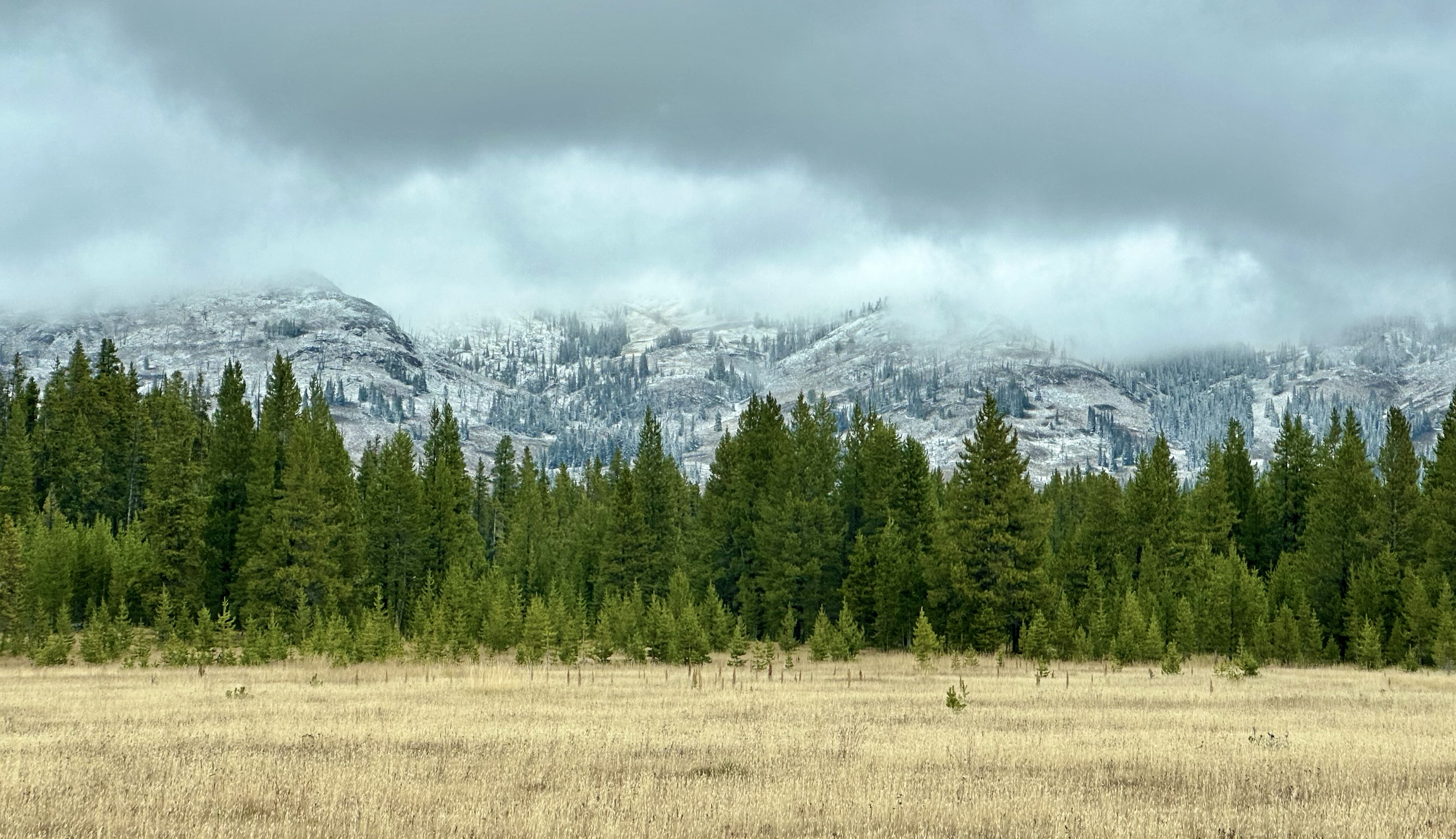
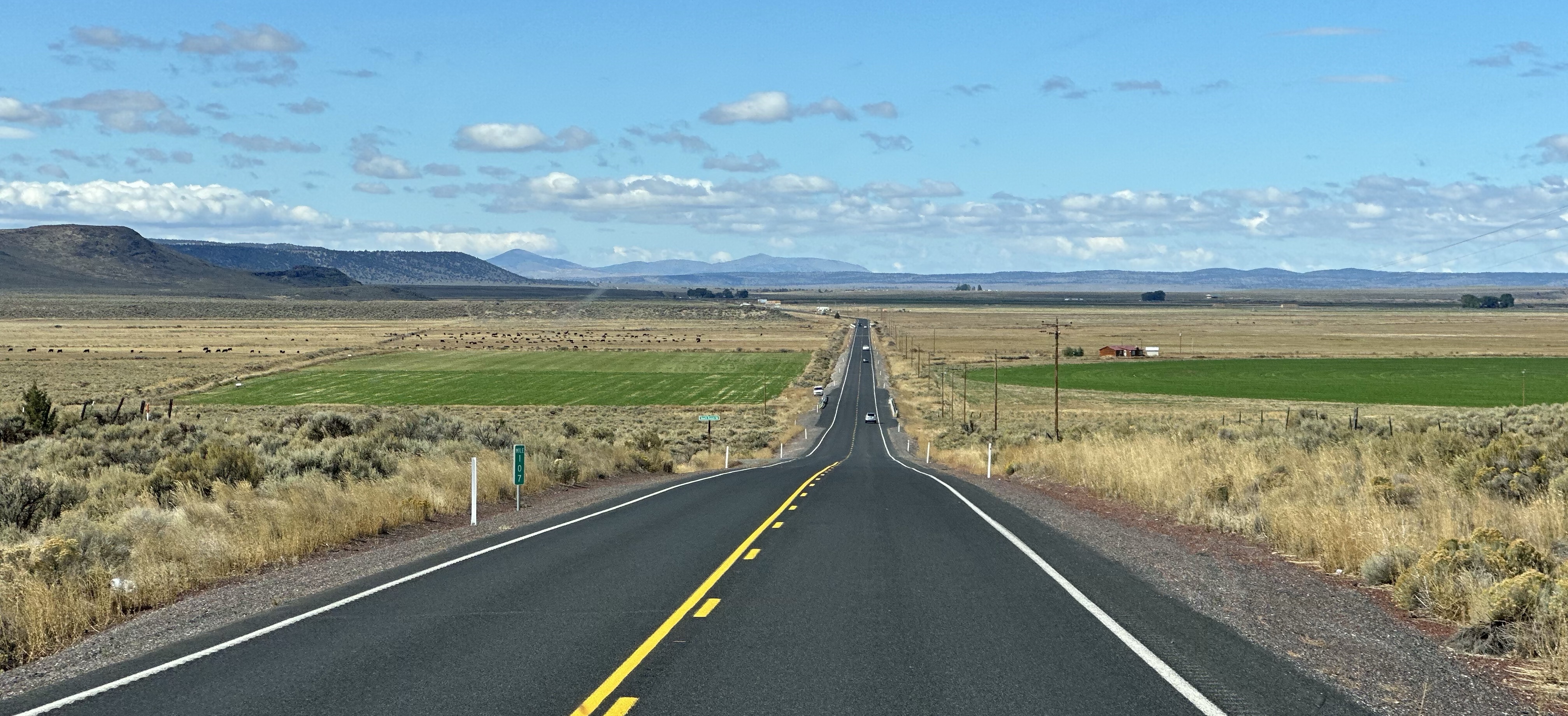
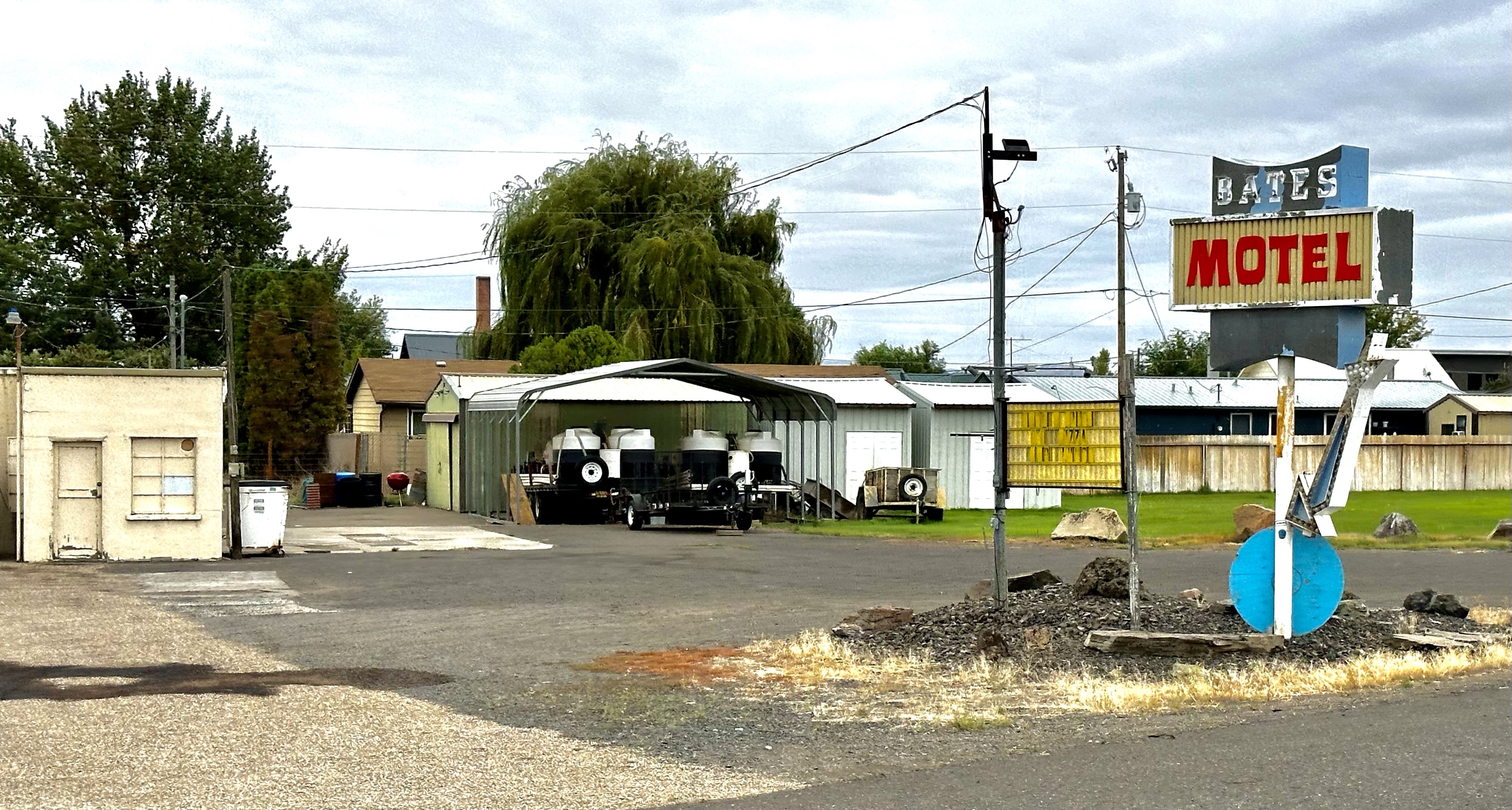
Idaho, who’s ‘State vegetable’ is the potato, was very dry, lots of arable and colourless, beige fields, the odd bit of green poking through at times. A pretty dull undulating landscape, harvested soils and dots of cattle we arrived at an overnight campsite by a reservoir. Quite surprised, given its the land of ‘gas’ to see some wind turbines! The following day was another similar drive, fields, followed by more fields and the odd small strip town with tumbleweed getting under the van. By strip town, I don’t mean one frequented by ladies of the night, but a town that just has a few buildings either side of the road and that’s it, lifeless but for the billowing US flags. We didn’t pass through Psycho but did spot The Bates Motel. We were desperate for a Tim Hortons but no such luck. We soldiered on, battered by the cross winds and concerned for our mpg. Idaho Falls had a bit more going on as we sailed through but the ‘city’ of Atomic seemed to have lost it’s energy. It was 3 roads by 4… a city?!! Eventually, we arrived at the fancifully named ‘Craters of The Moon’ National Monument.

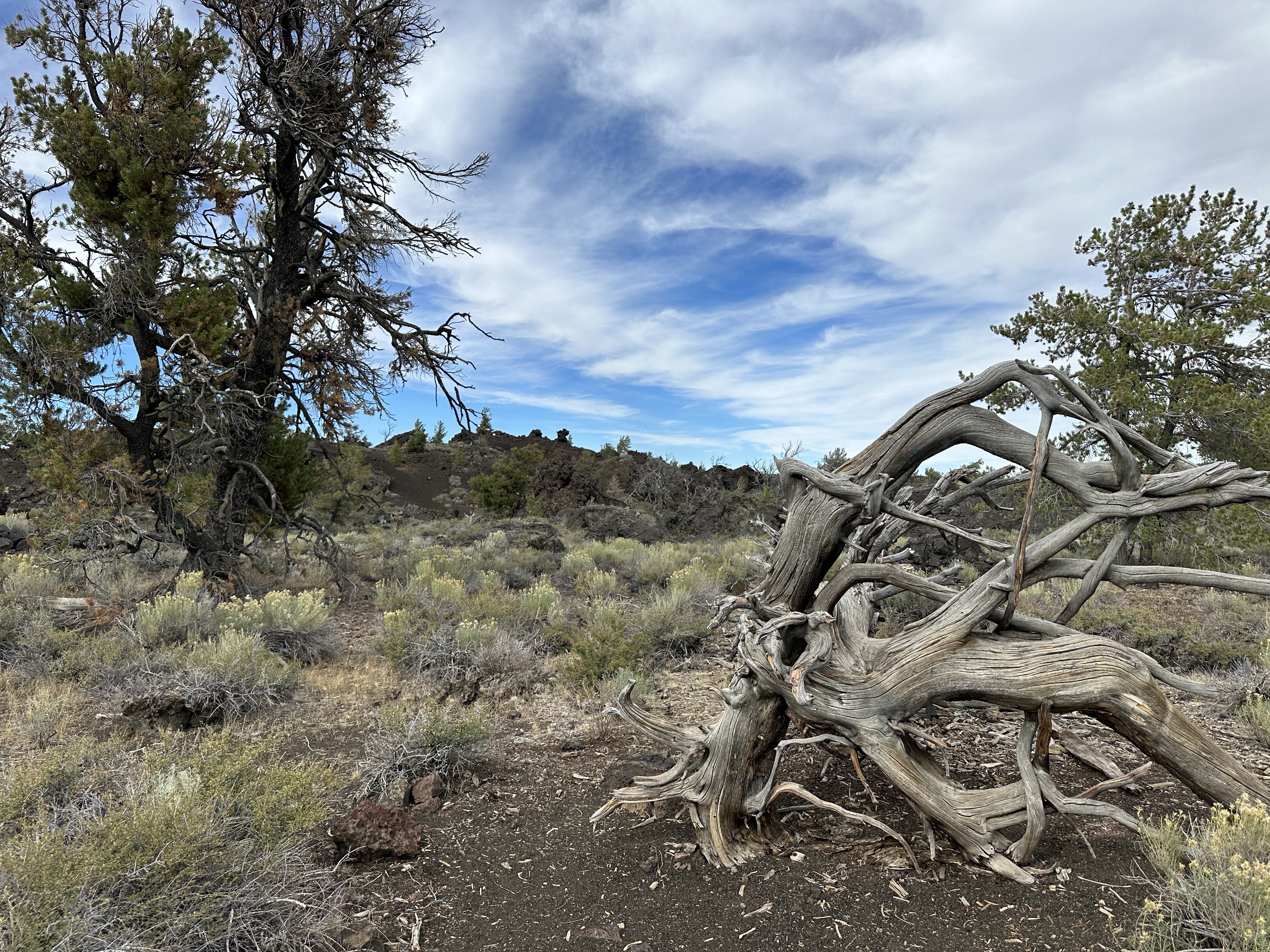
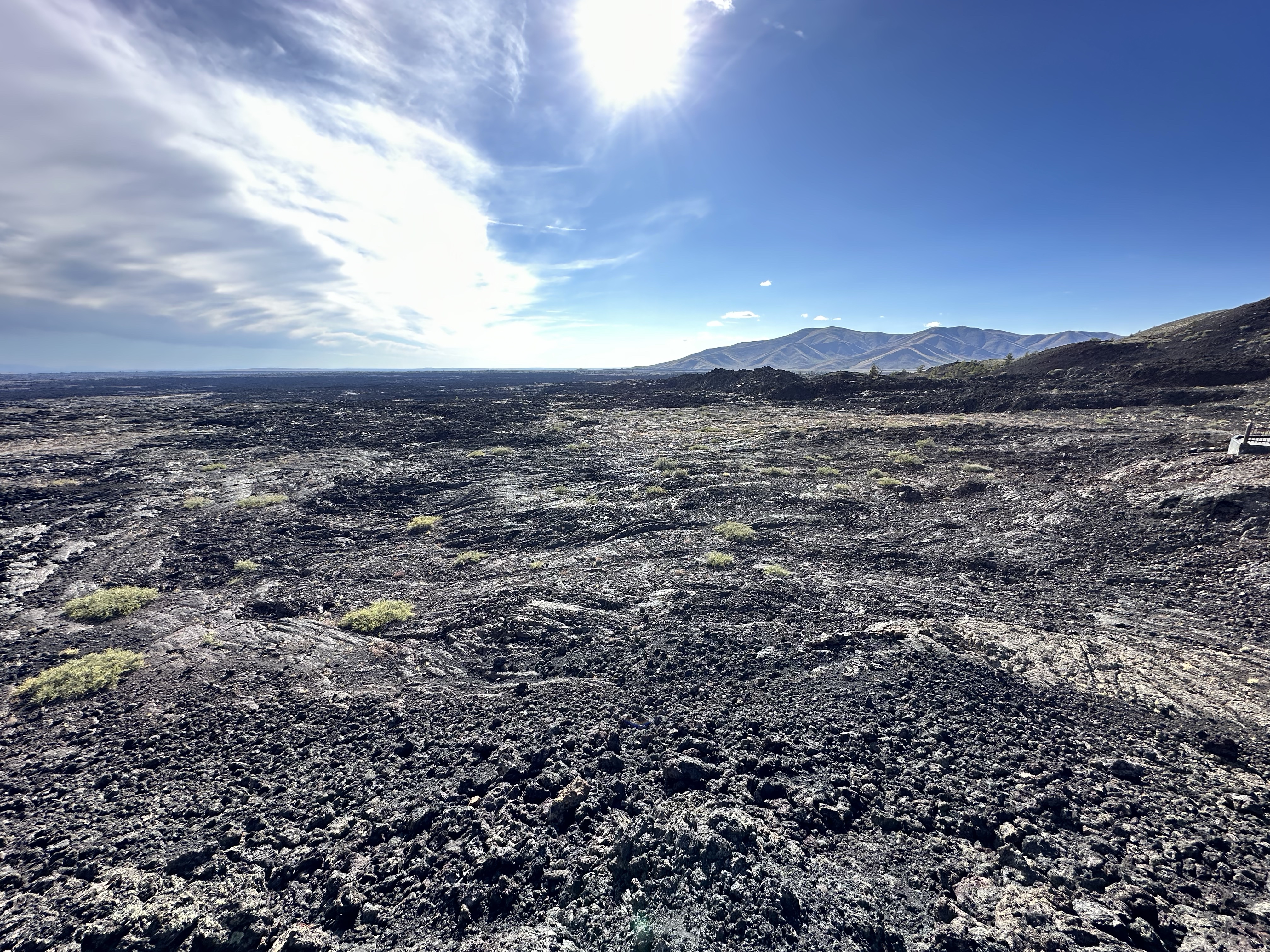
Craters of The Moon is a vast volcanic zone of 750 sq km’s (half the size of Yellowstone) Formed over millennia, the volcanic fields sit along the Great Rift of Idaho. The last eruption was 2,100 years ago. There are three main lava fields, and lots of different lava forms, rope, blue, ryolite, pumice… it’s obvious to describe it as like a moonscape, it’s the generic term for volcanic areas, but it was interesting to cycle around the vast area with numerous cinder cones, distorted trees and resilient plants. Caving was a first for us, we got over our fear after that ‘movie night’ film with pals in Kaslow! Being a dark sky preserve the skies were incredible too.


A few days of long drives ahead, from Craters we headed towards Boise on hwy 20, this time past Magic City which too, had lost its sparkle. Lots more long straight roads of nothingness, just yellow flowered sage brush for company. I can’t recall who said that Saskatchewan was dull (which it isn’t) but this was in a league of its own. Quite bizarrely, we drove up a hill and coming over the top, found ourselves in Boise National Forest, at 5.5k ft, where did that come from? All too quickly though, it disappeared, but to you know what! Thankfully, after navigating the traffic of Boise we arrived at our camping and went out for anniversary drinks!
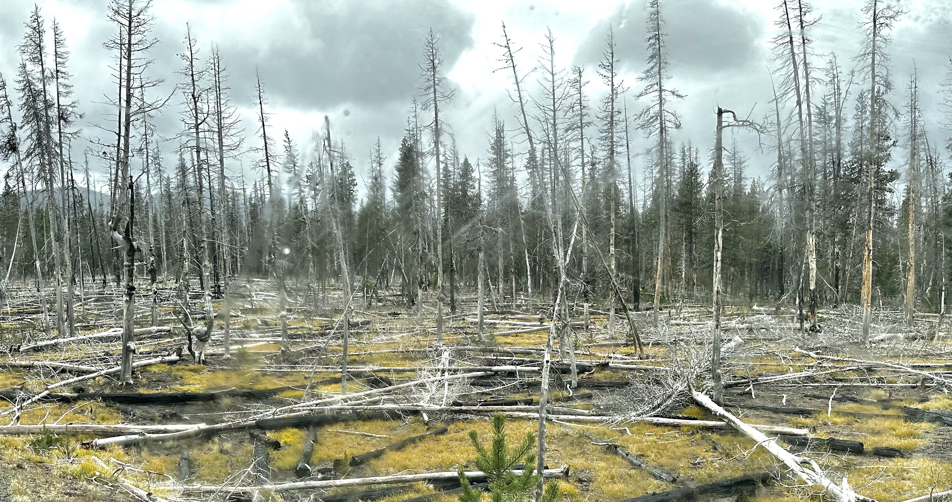
Continuing west, we stopped at a town called Burns that had just about two horses but to be fair had a Starbucks, and then onto Bend for a rendezvous with an old work colleague from the Boise days. Ahead of Bend we went through The Oregon Badlands so there was some interest! Bend was a different kind of place, pretty smart properties and lots of tree’s and outdoors type stuff. It’s close to mountains and is actually classed as a High Desert area although, counter intuitively, there was snow of the mountain peaks in the distance. Like lots of places, hit by wildfires too. Out on our bikes with Jim and Patty we had a great explore of their get away home zone, a lovely community, houses set discreetly among tree’s near lakes and rivers, with a ski mountain a stones throw away. The Cascade Mountain Range. A fabulous supper with them with a conversation covering all sorts, we headed south in the dark to a campsite in the woods.


From there, we headed South to chase the warmer temperatures. A slight detour took us to Crater Lake. The deepest lake in the US at 1943 ft. It’s actually a caldera, formed when Mount Mazana erupted 7700 years ago. It’s on the tempestuous line of volcanoes that stretches from British Columbia to California and has a sweet Wizard Island floating there. Shrouded in mist when we were there it didn’t have it’s dazzling blue that you’d see in photos but it was a spectacle all the same. The red cinder cone was vivid though.


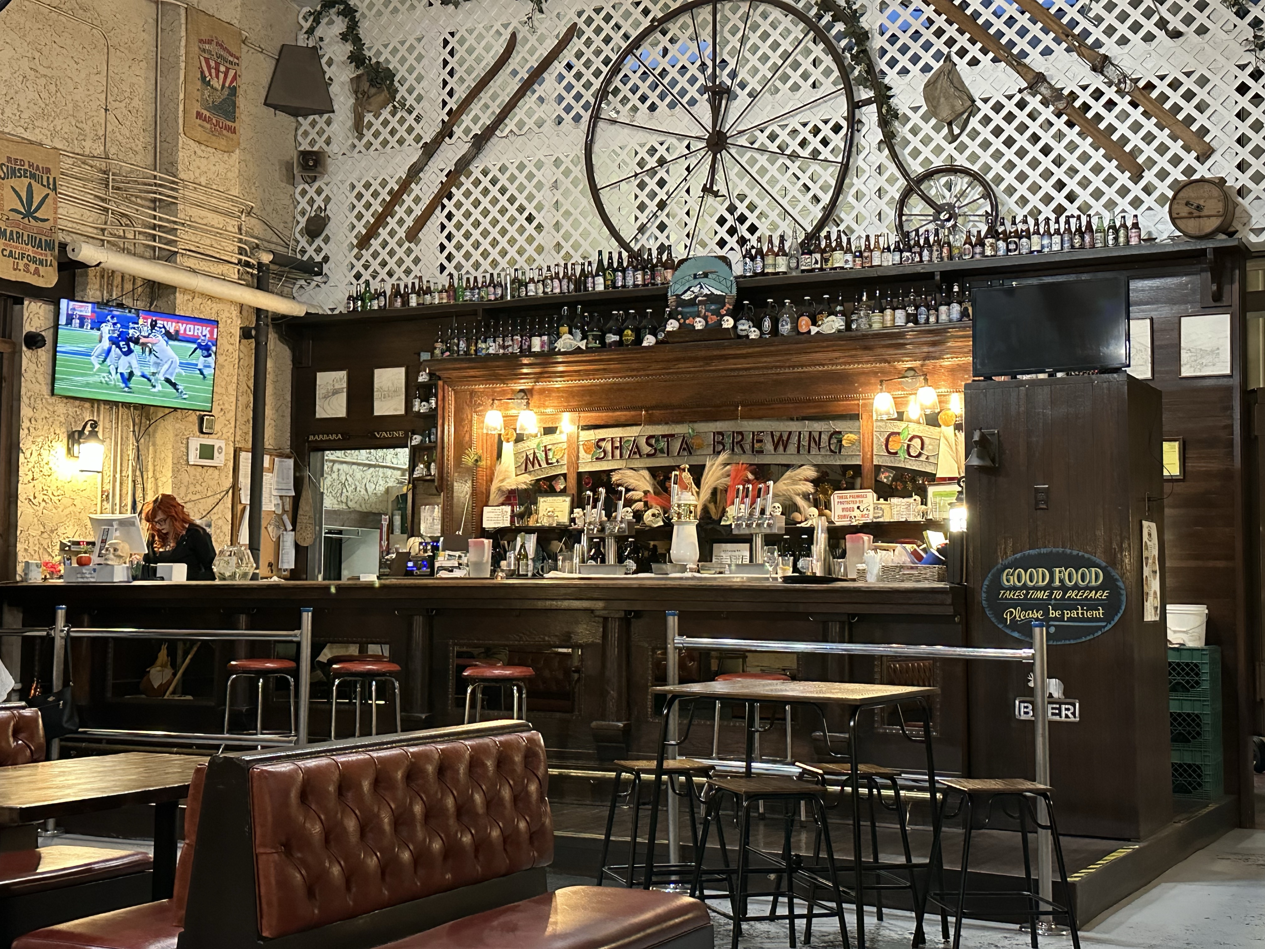
We continued south on hwy 97 through an unexpected checkpoint as we entered California… Fruit, Veg or Plants on board? Of course not officer! Northern California, in the more inland area, isn’t the landscape we’d imagined, it was low mountains and very dry scrub for quite a while before becoming agricultural. We figured tomatoes and onions as we’d seen lots of trucks of them going off to make romantic salsa together somewhere. Being California we also spotted the ubiquitous 1-800-lawyer4U billboards, a Tesla Cyber Truck (no, I didn’t know either but the tall one was on it!) and pumpkins everywhere! More of the small town drive pasts and we ended up at the fabulous Weed 🙂 A park up at Mt Shasta Brewing Co. for the night, what’s more to like, craft beer in Weed!


Yellowstone is on our list for maybe next year and the Teton’s look good. I’ve just had a look at your site to see how you happen to be driving around in a U.K. motor home! I expect the cost was worth it as you are living in it. Also I go to France in the camper and although driving on the other side of the road it’s more comfortable and familiar in your own van, so long as you have someone to look left for you!
LikeLike
Yes we shipped our own. It’s cheaper, it’s c. $300 per day to rent similar here. It’s not difficult and worth it for a long trip. 95% of all our driving has been on ‘the wrong side of the road’, it makes no odds to us!
LikeLiked by 1 person
Some great images Nick although perhaps not quite AA, they’re better than A+ Would have liked to have been able to open the pano of Oxbow Bend. But what a diverse, crazy, strange, beautiful place. It’s shame you can’t capture some of your conversation they sound just as interesting.
LikeLike
Hi, not sure who this is as it came up as anonymous but the photos are all me off my iPhone. If I knew who it was I could send you the pano!!
LikeLike