
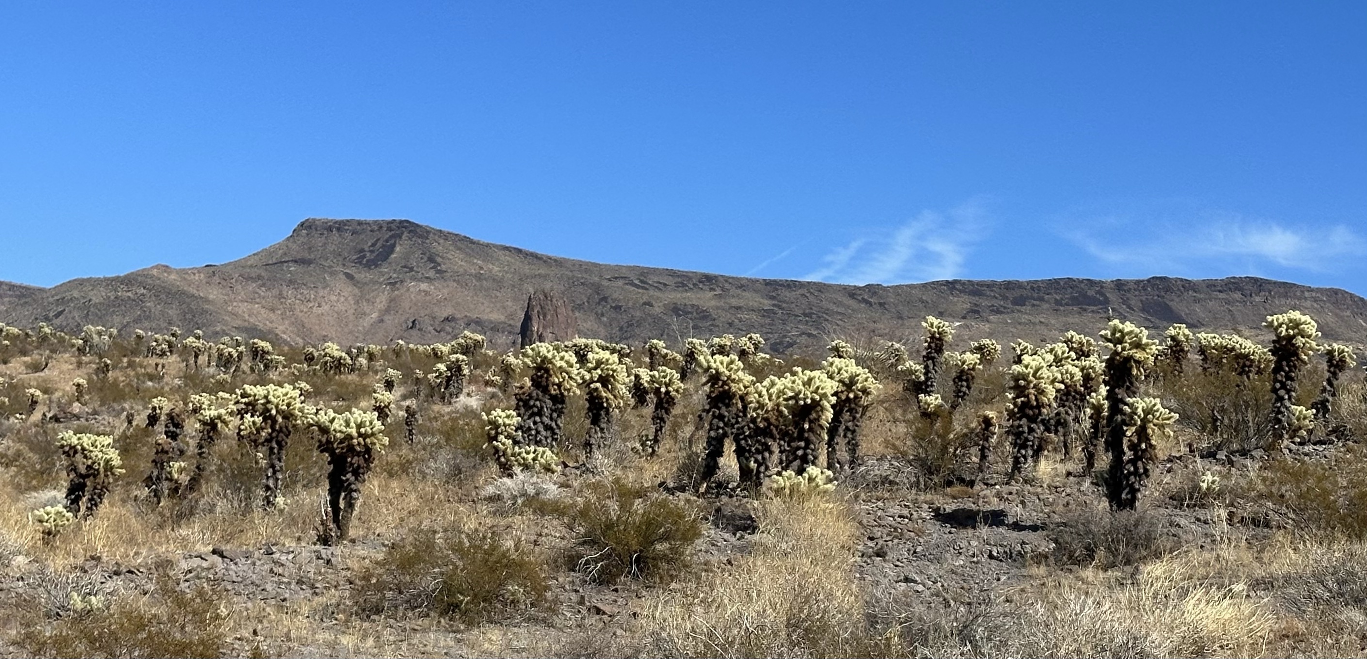
We saw a belligerent ass in the road, no it wasn’t Trump but a burro! This stubborn ‘ole mule wasn’t interested in changing direction any time soon… 😉 We were close to a Route 66 heyday town called Oatman on the ‘Oatman Topeka Highway’, which took us through mountains and desert plains, dry as they come, with the most evil cacti in the world, Cholla, everywhere. (you only need to look at them and they spike you, it hurts, believe me!) Typically, they are really attractive yellow flowered!
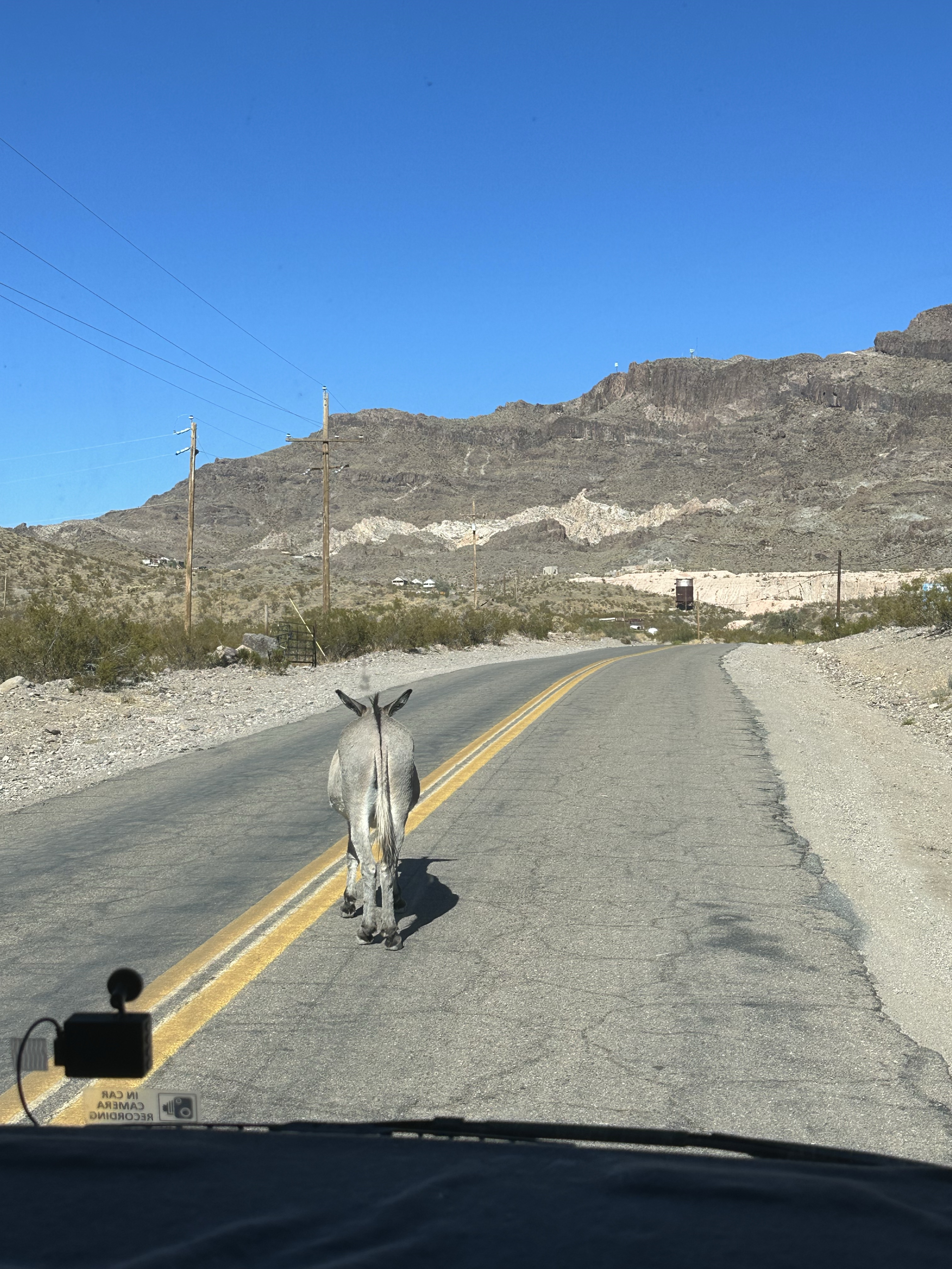
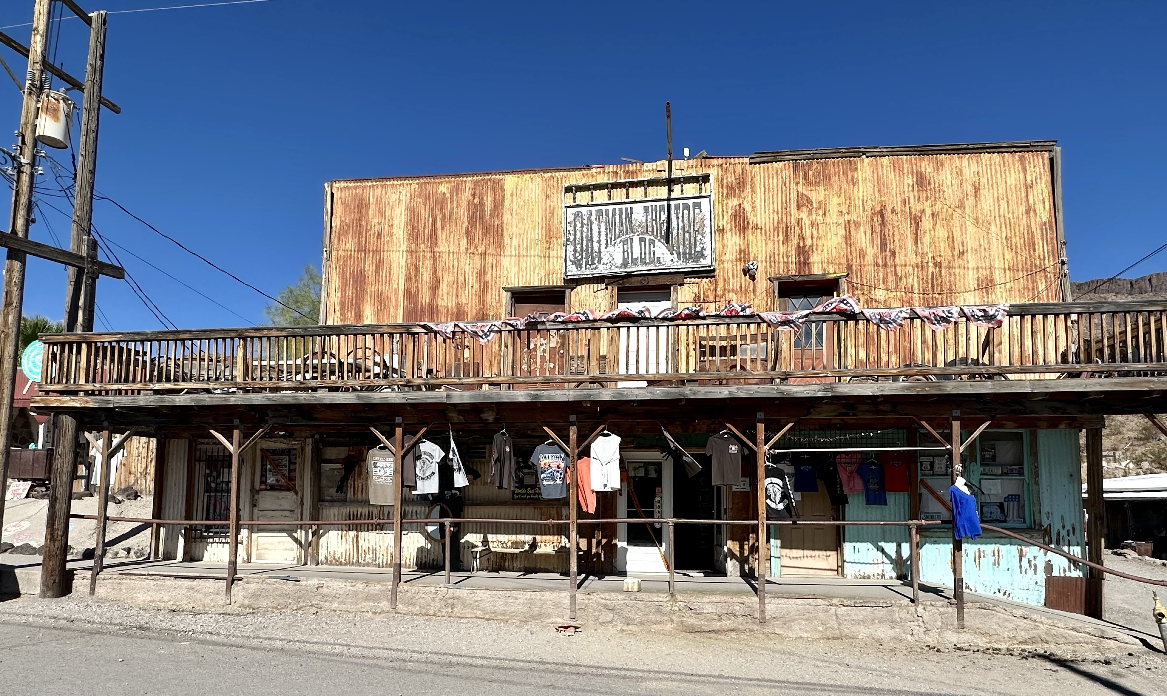
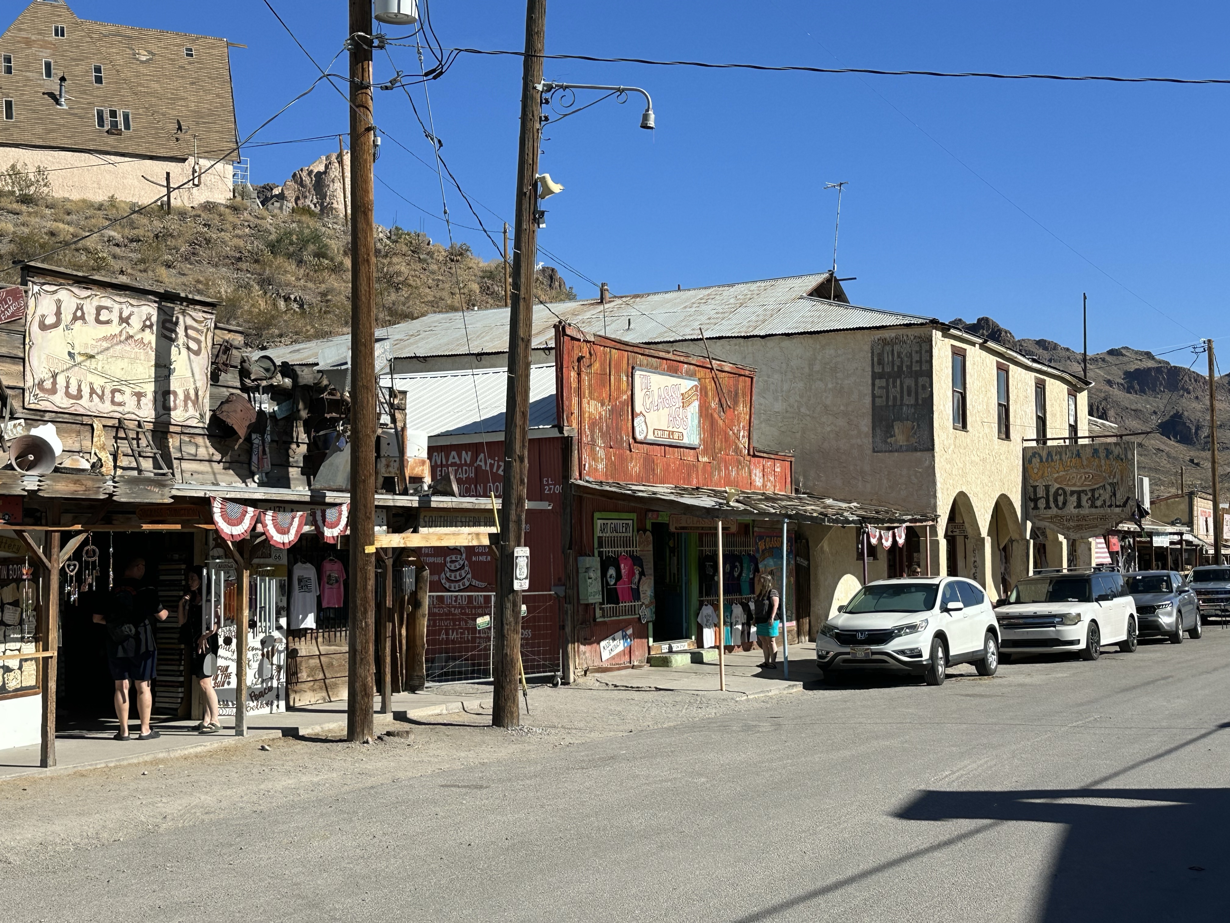
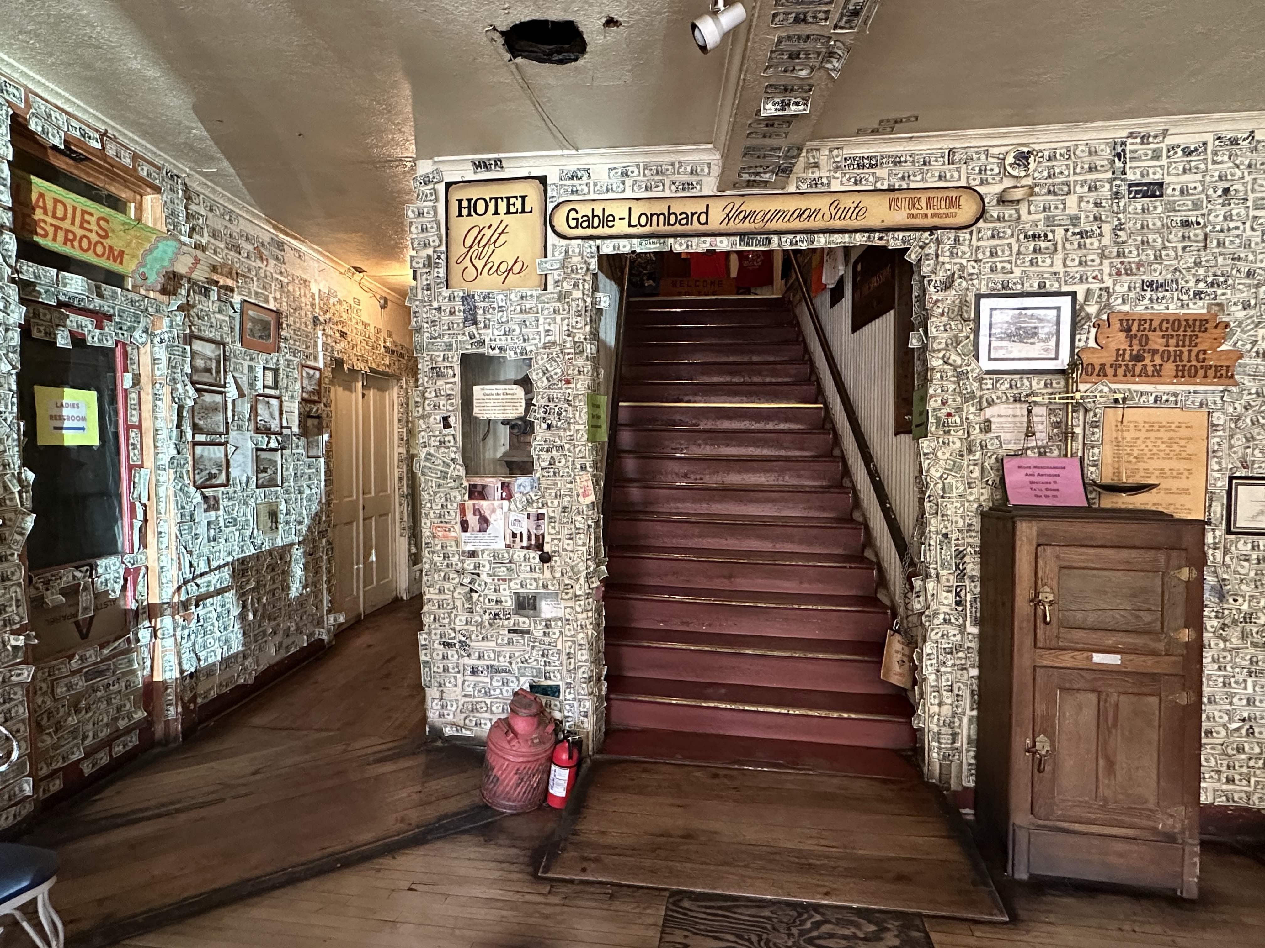
Oatman has origins from 1876 when, like many other places around the area, gold was struck and towns sprouted up for the ‘rush’. The burro’s, used as part of the mining process, are a throwback to the times and were abandoned when the mines closed, 25 years later, to be fed by tourists instead. Most of the buildings appear authentic to be fair but the place is shabby. If you are in need of a T shirt, crystals or wind chimes then it’s great. To be fair, it’s trying to hold on to its Route 66 legacy and is busy enough. Clark Gable and Carol Lombard honeymooned there so it must have something to offer…. the hotel is now an ice cream parlour with the bedroom museum upstairs!
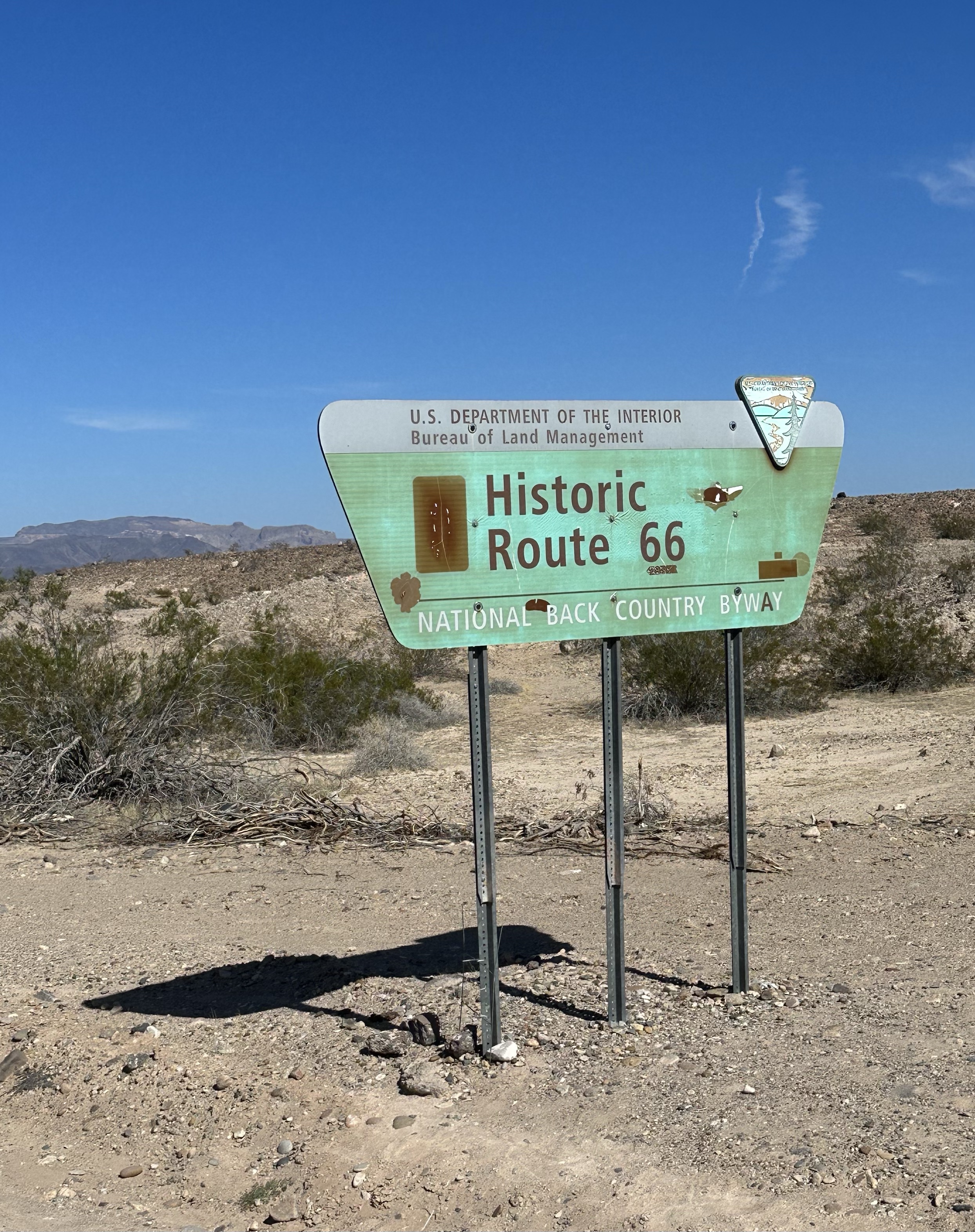

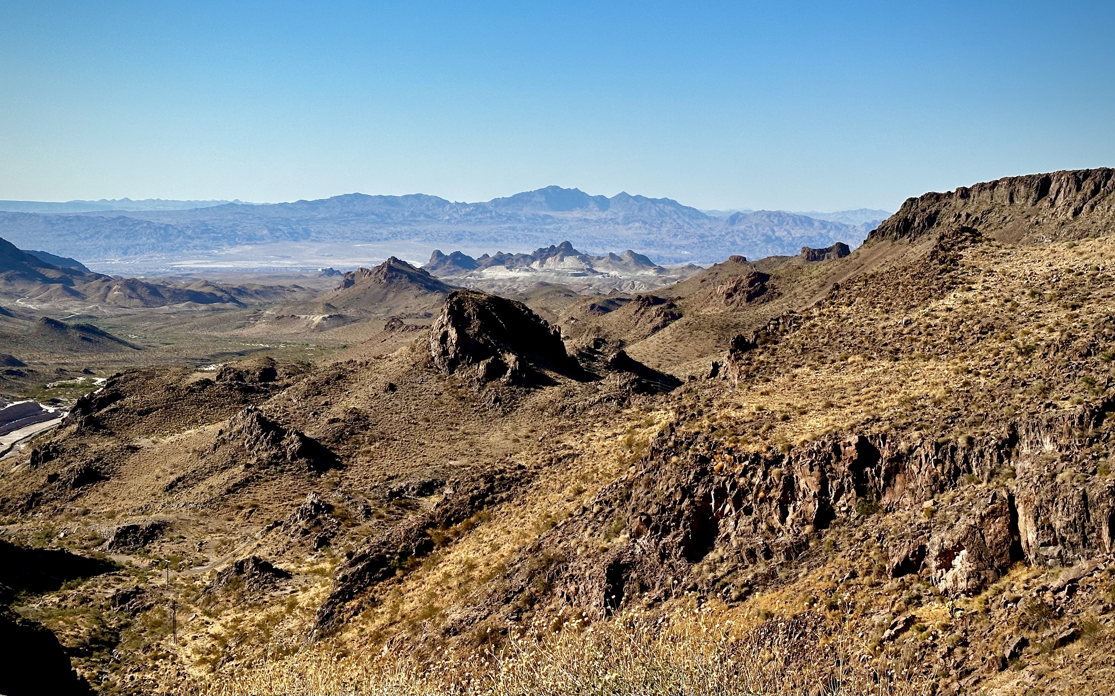
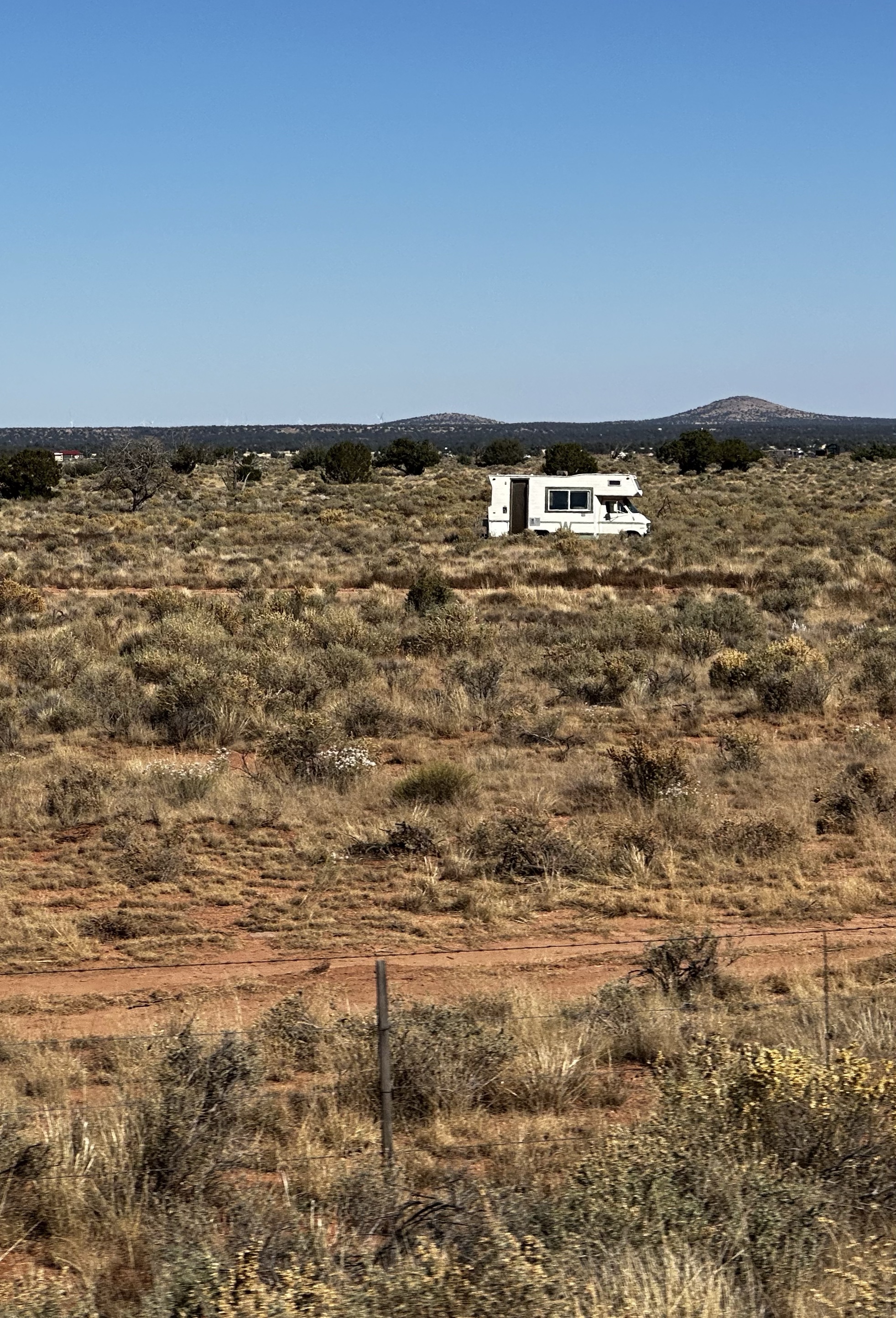
A winding and narrow road from Oatman, route 66 as was, took us to Kingman. The route was incredible, the vistas wide, the juke box playing America’s I’ve been through the desert on a “Horse with No Name” became an earworm. Lots of colour, cacti and unusual craggy volcanic forms. A lifeless and barren area as so much is, but massively populated by people living in RV’s. We guess that people buy very cheap plots of land and make it home, we wonder how on earth they do it. Through our lenses it’s shocking but we do know we are ignorant. There’s one thing to live in an RV, we do it ourselves, but in a desert…

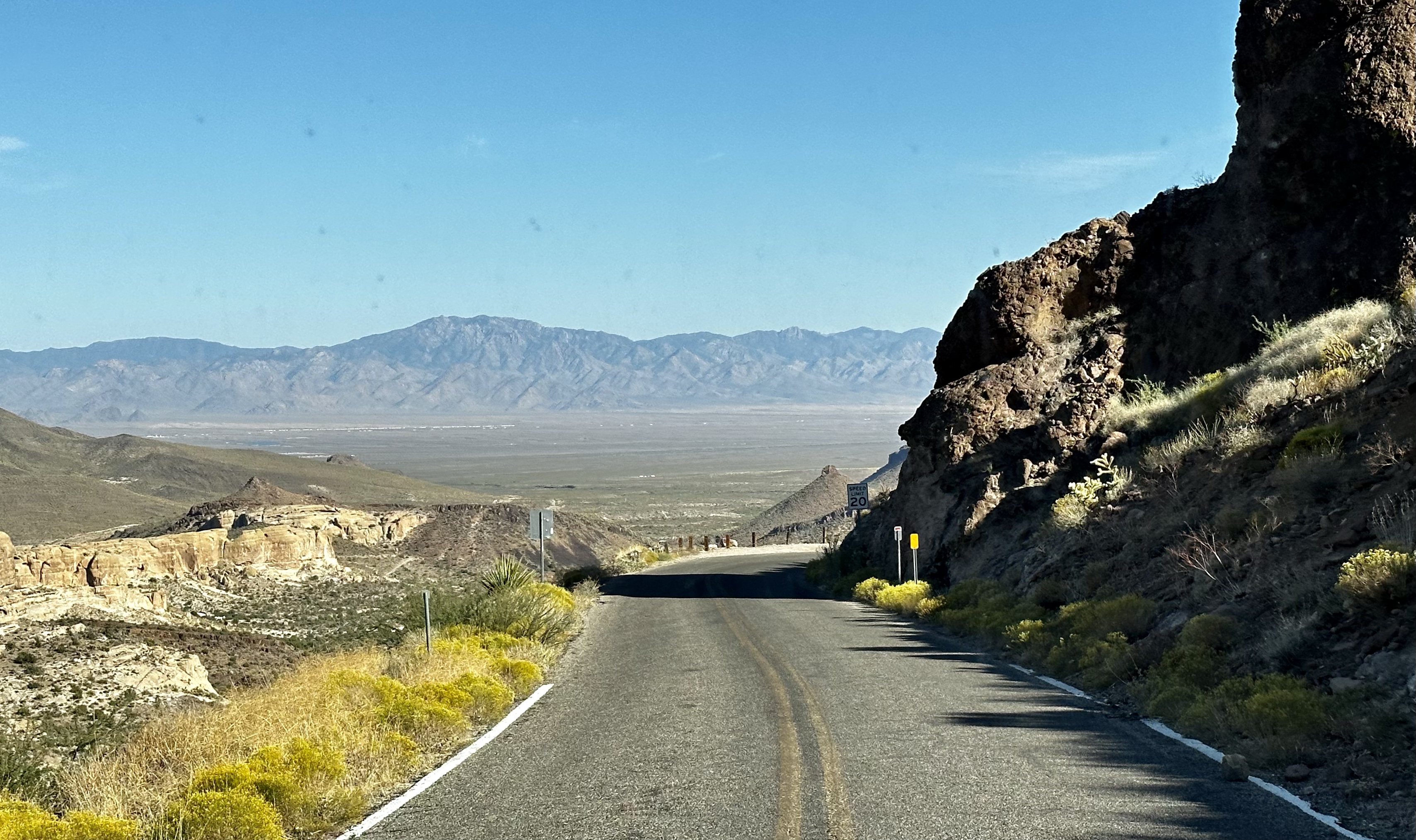
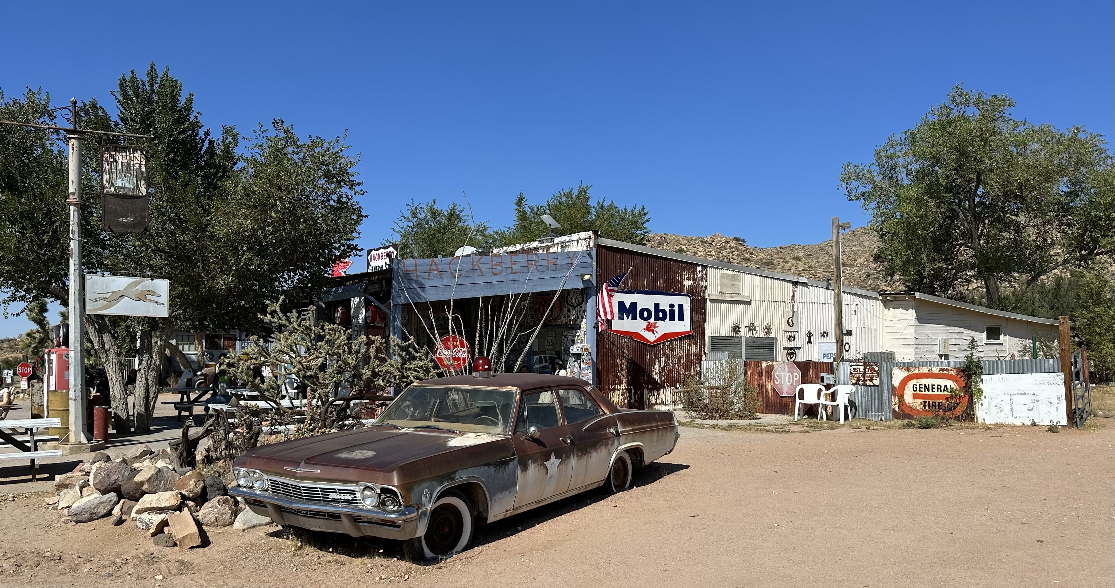
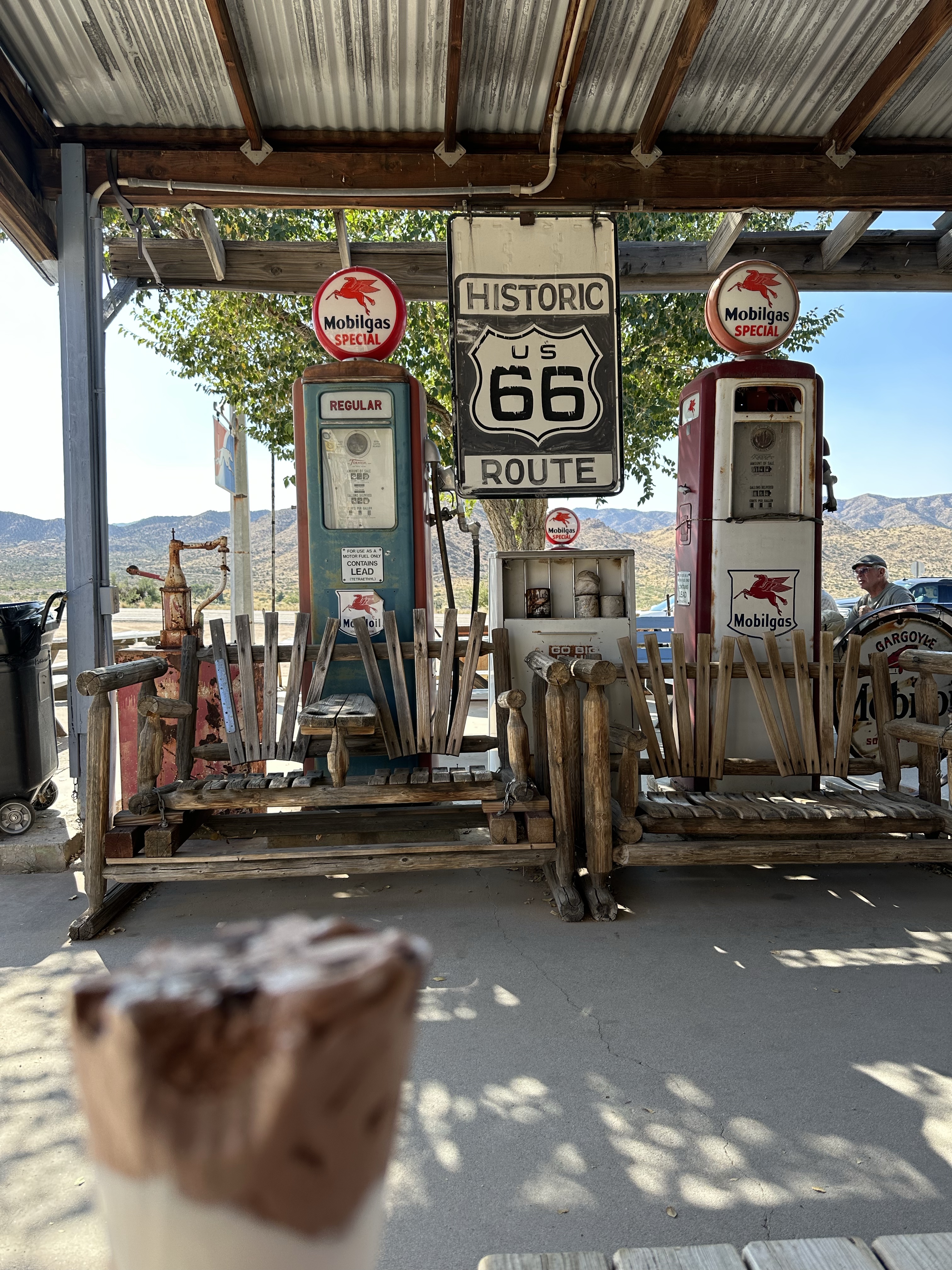
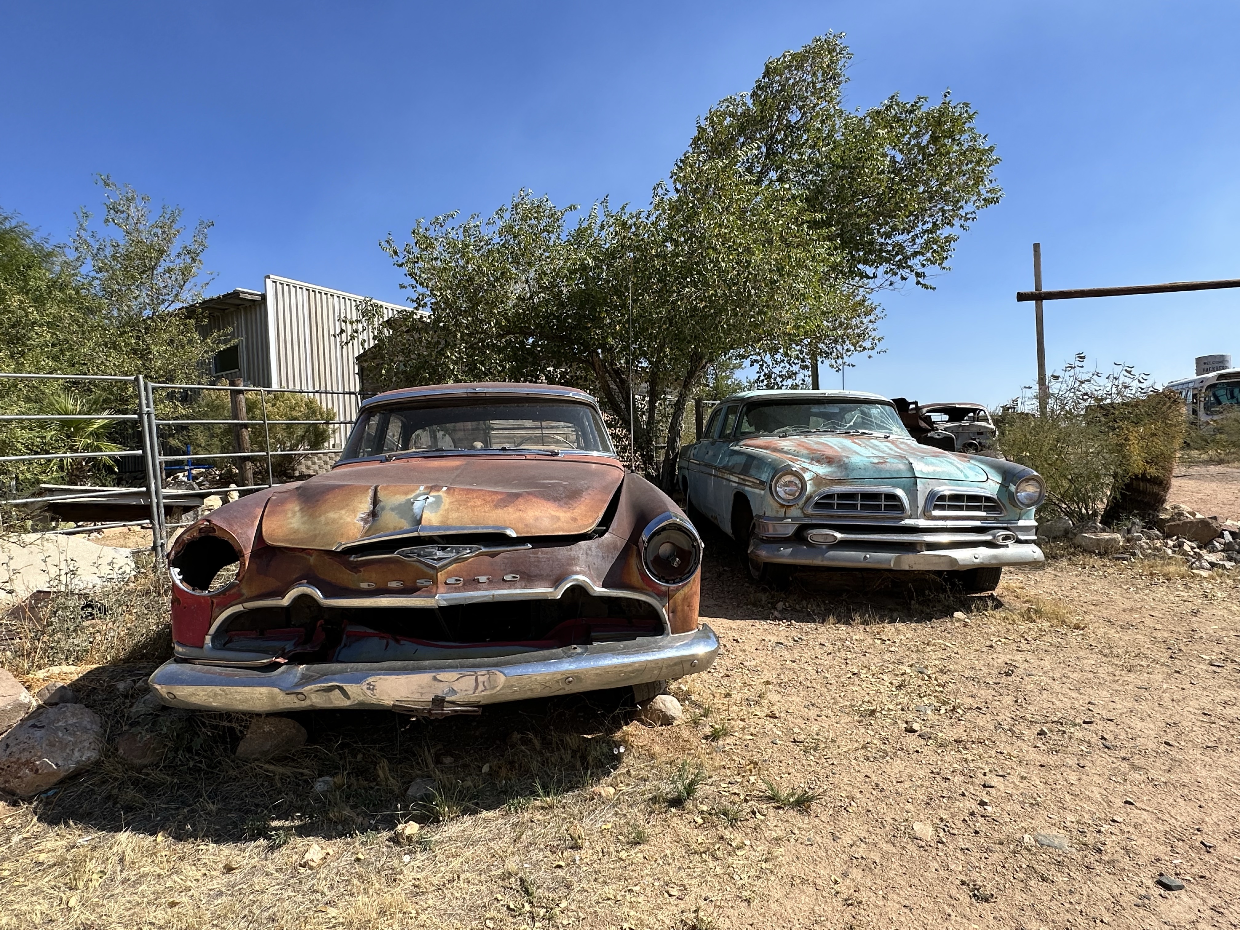
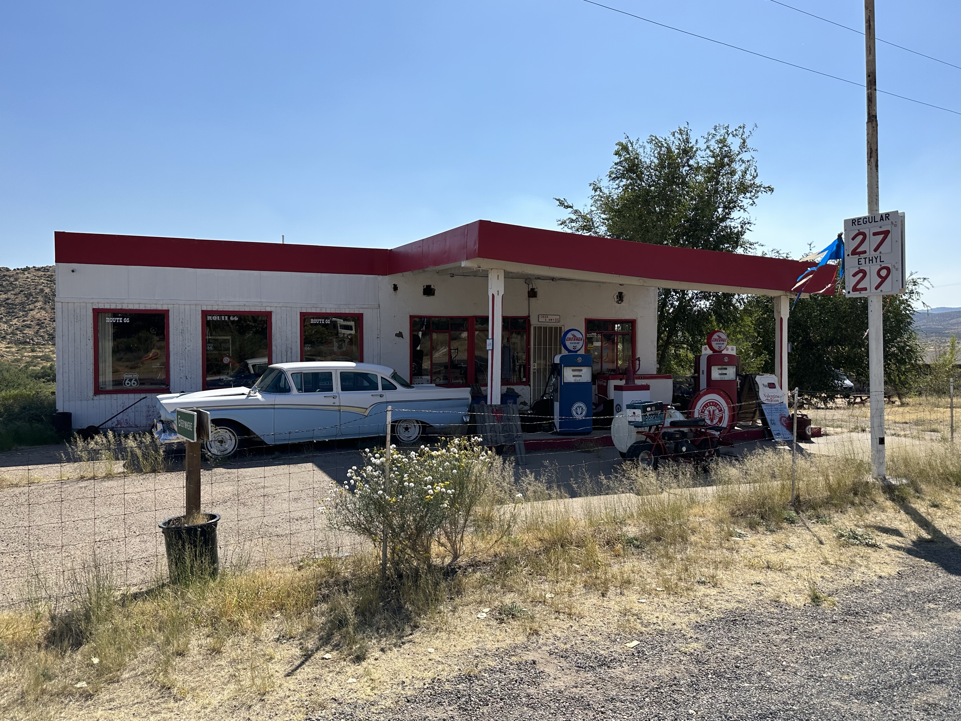
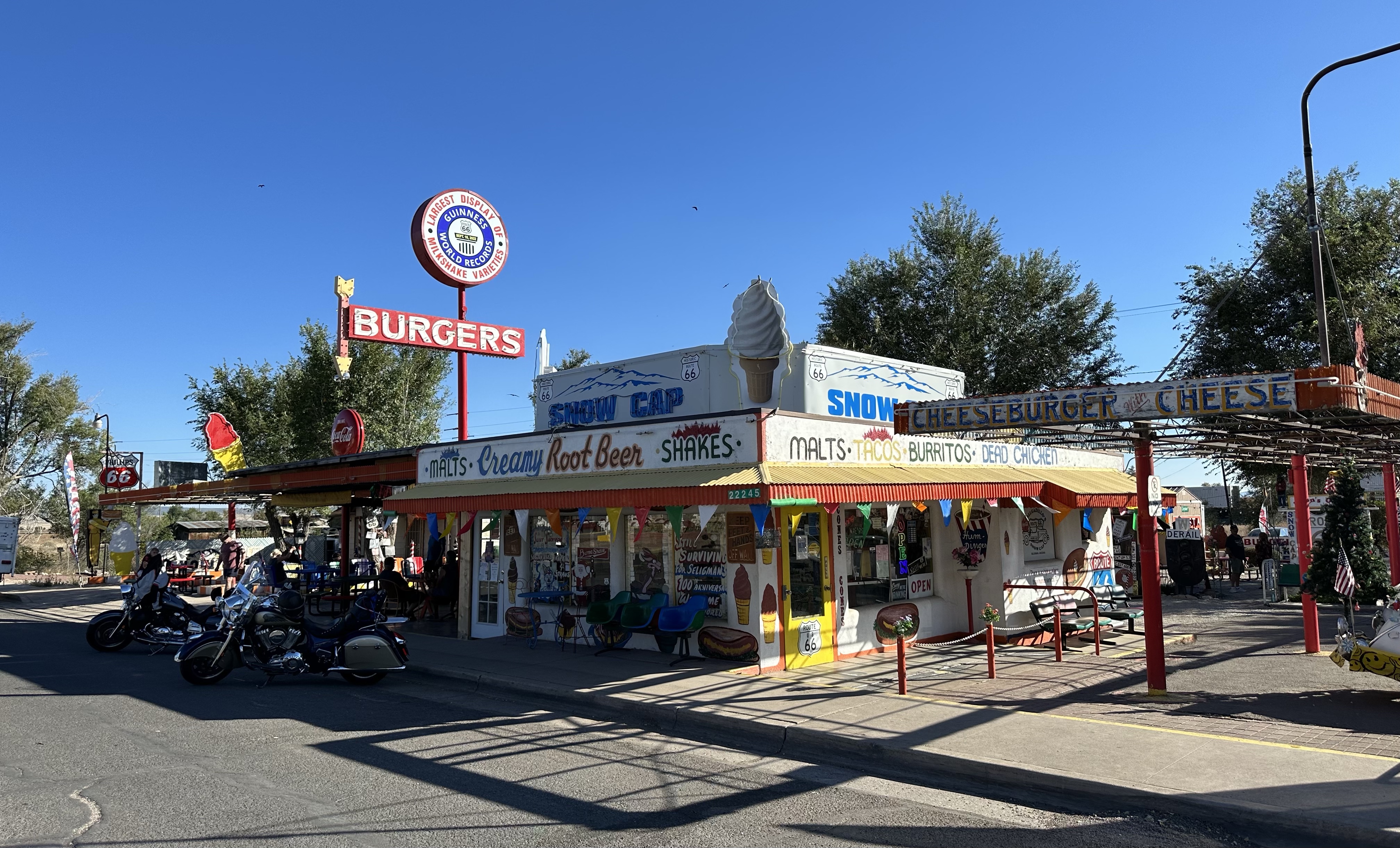
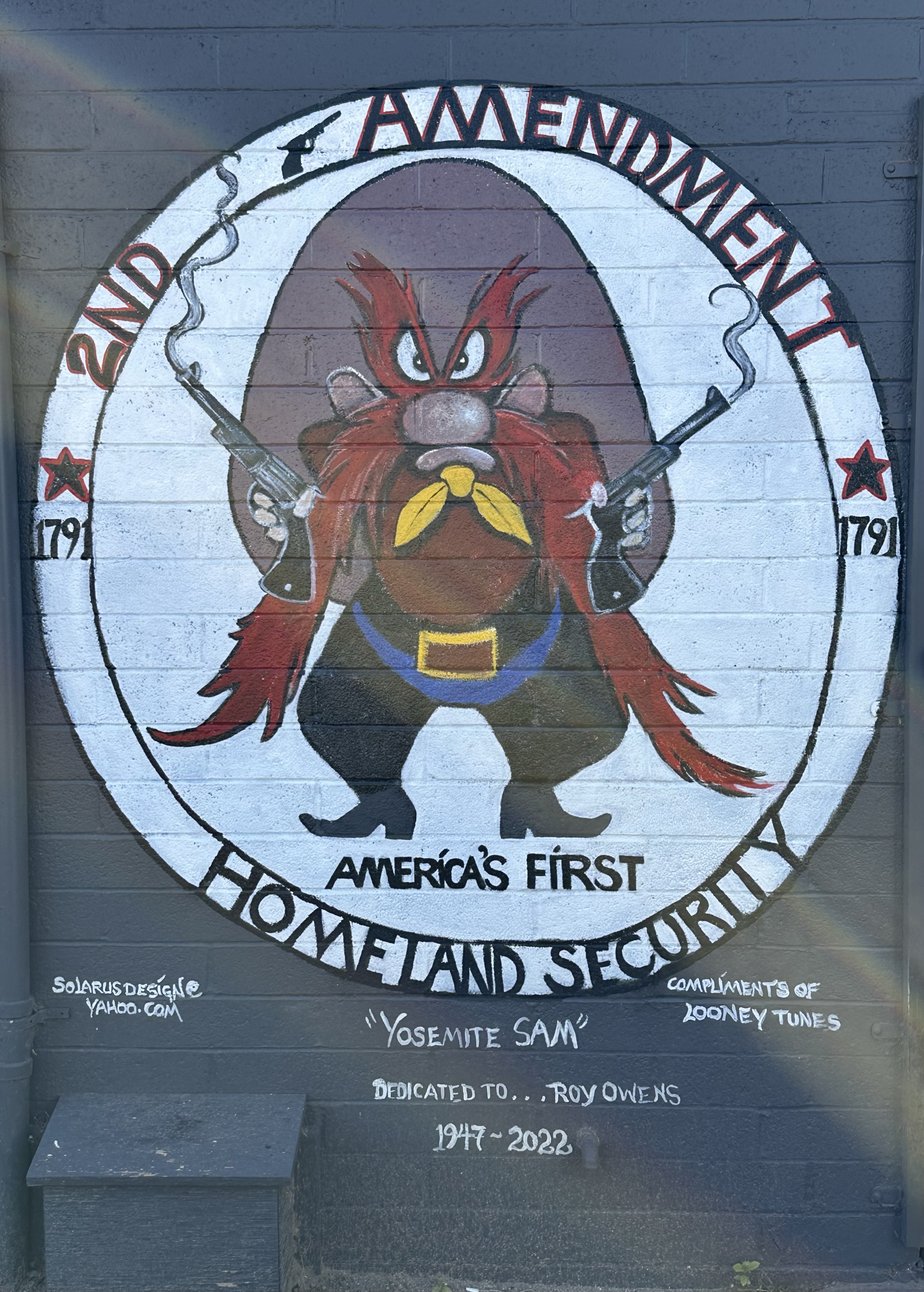
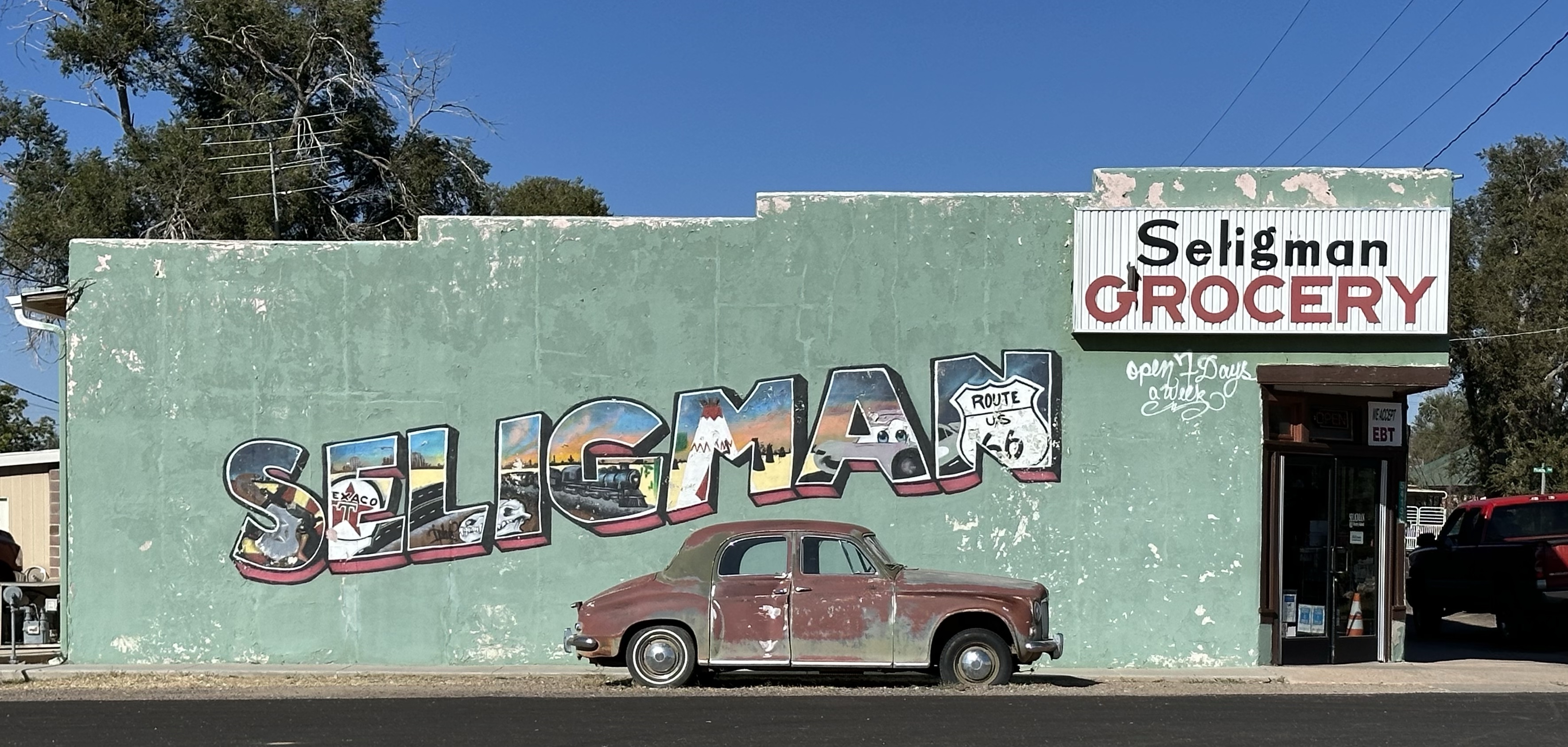
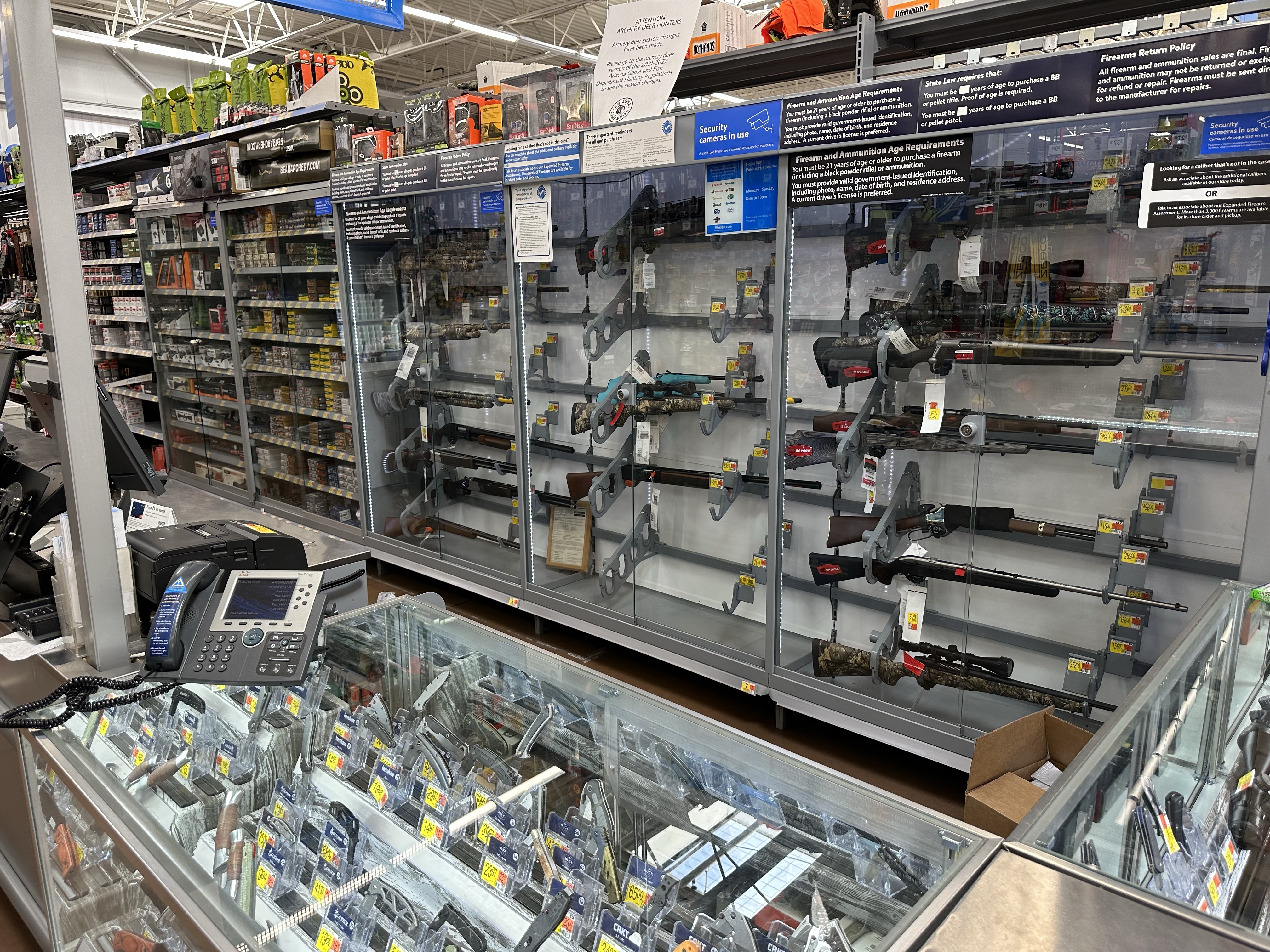
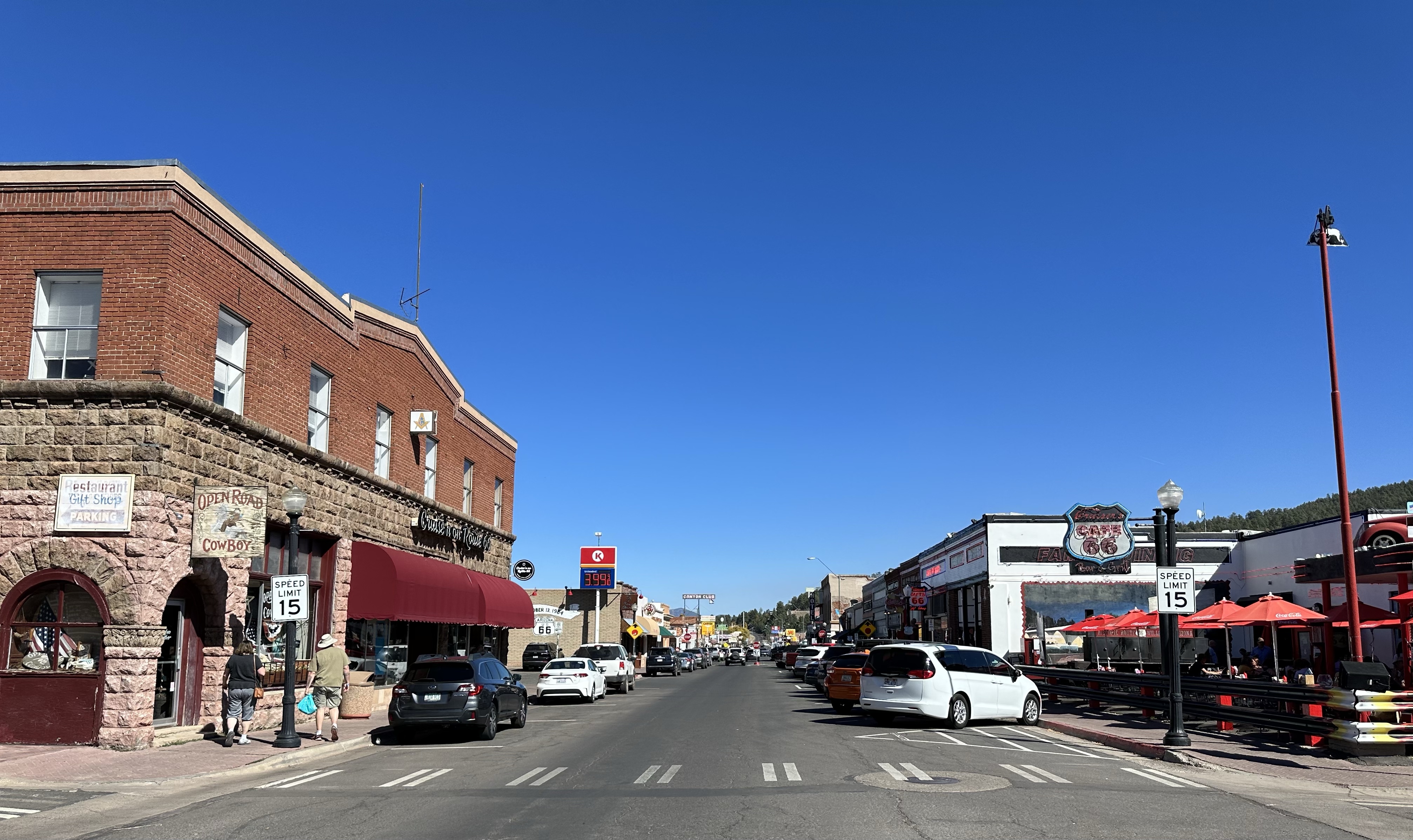
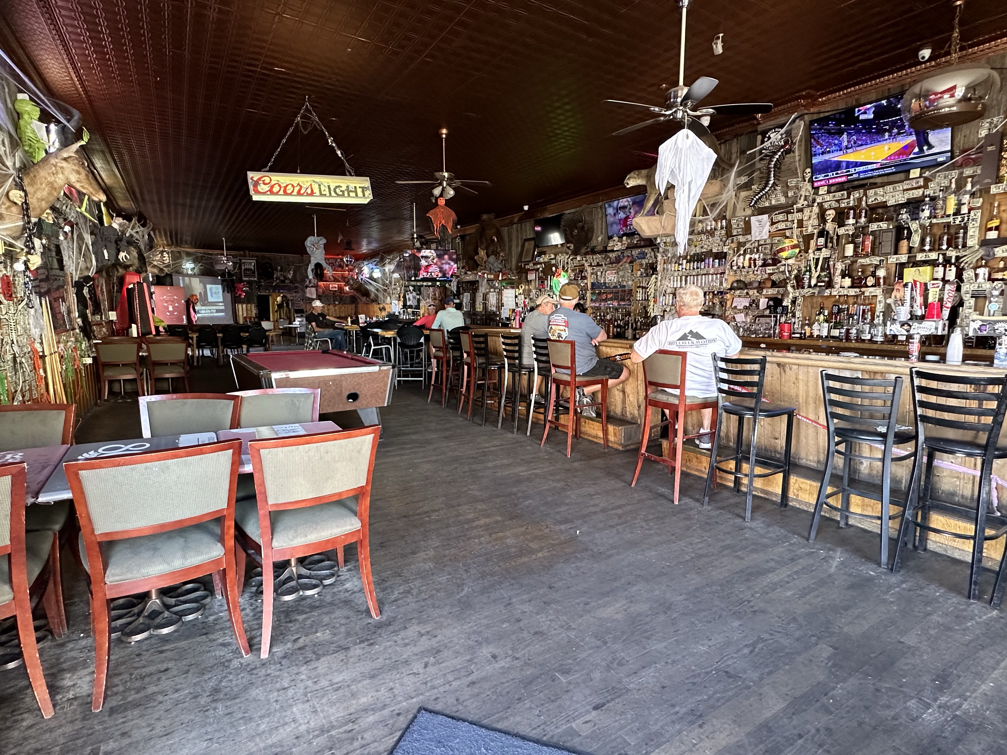
Continuing east on route 66 the drive there was much the same however there are a few iconic features on the way. Hackberry General Store was thriving on tourists passing by. A front yard full of ‘memorabilia’ be it abandoned cars, gas pumps, signs etc, it has that kind of ‘pull off the highway’ draw that is as successful now as it would have been in the 66 heyday. Of course, the store has lots of Route 66 merchandise, as does every place we stop! Further along is Seligman, hanging on by a thread, thankfully for the town, just off an I40 junction. Very different vibe to previous stops, possibly due to the local militia hanging out at their local (with ‘statement’ sign) who keep the Walmart gun sales going, no doubt. There were lots of great old signs and buildings in Seligman but we do wonder what’d happen if the tour busses stop dropping by the few tat shops that are there.
Completing this section of route 66, that still exists (much doesn’t anymore), we finished at Williams, the last town to be by passed by the interstates. Getting there involved a climb to 7000ft where the landscape changed from very barren, to forested and a section named The Purple Heart Trail. Probably wetter and less arid, it’s a surprise seeing such greenery. Williams itself is a base for Grand Canyon day tours and it’s thriving. A sprawling modern town it has retained it’s historic heart which was superb. Catering to tourists, lots of eateries and old style bars, where some folks, like Hotel California, perhaps never leave. Of course The Grand Canyon Brewing Company had to be visited too. There are micro breweries everywhere in the US.

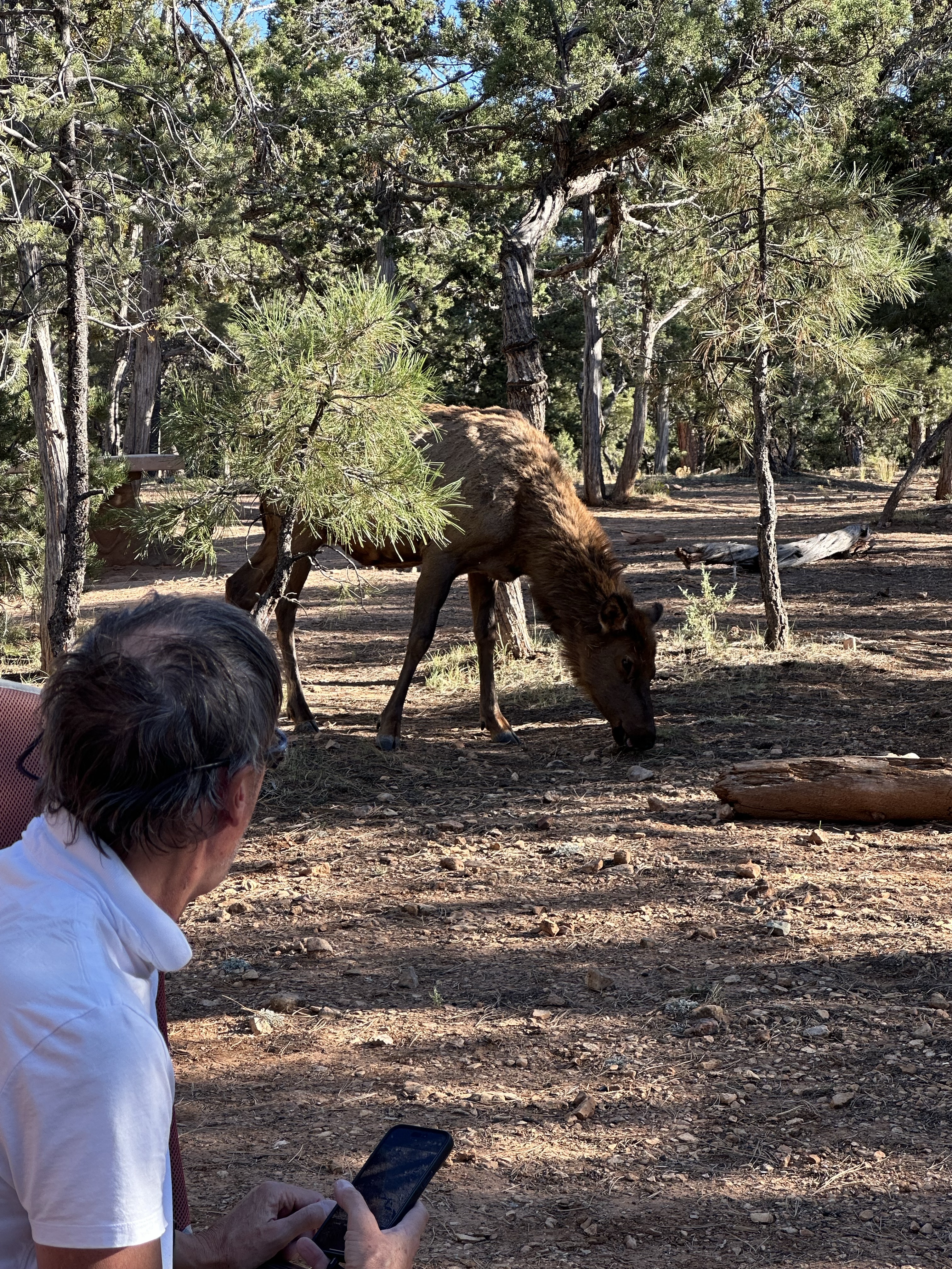
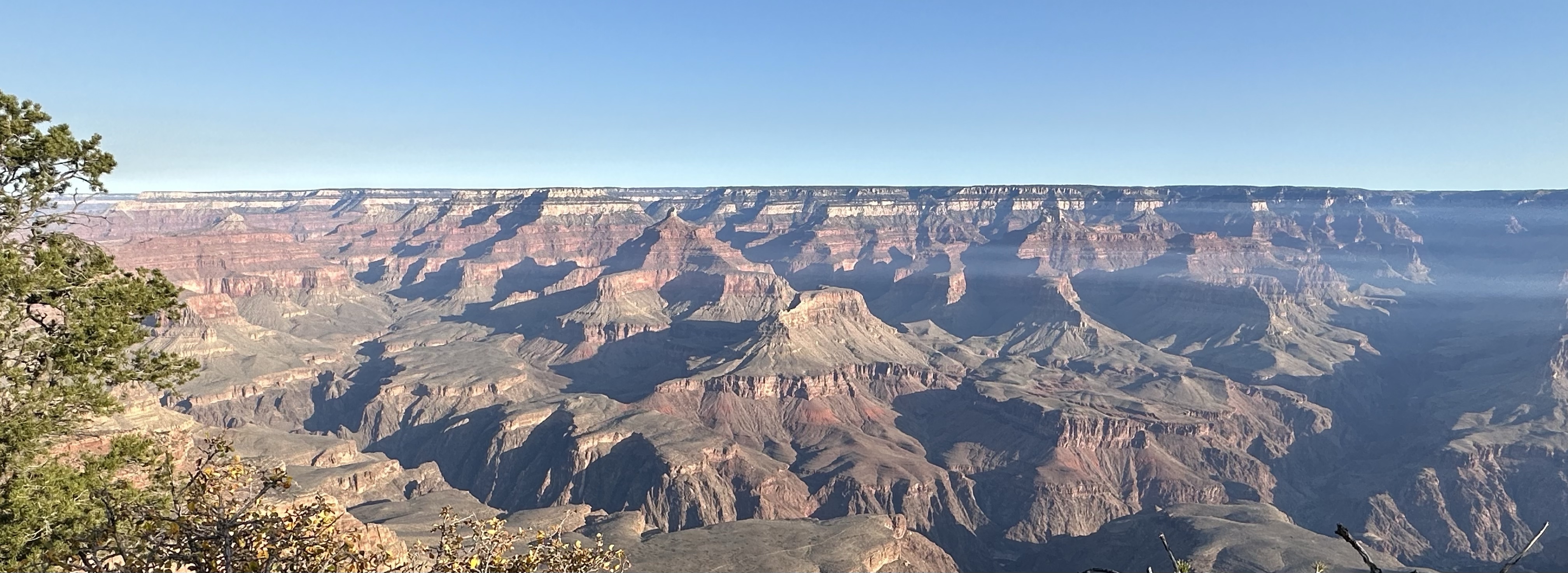
From Williams we headed north on a pretty straight road, up to the Grand Canyon National Park. This took us up to 6500ft and the gorgeous Kaibab Forest, tall trees and a carpet of pinecones. This forest covers quite an expanse of the higher ground and makes for the green rim that can be seen at the canyon edges. Grand canyon ins’t so named because it’s ‘Grand’, it’s more than that, but they couldn’t call it Overwhelmingly Big Canyon I guess. The river that runs through it was called the Grand River before being renamed The Colorado in 1921. Arriving, we headed to Mather Point for a peek, along with every other tourist in the park it seemed. So we headed to the campground, set up with the mule deer, and went back there on the bikes for sunset. The cuddling/boxing squirrels were a distraction!
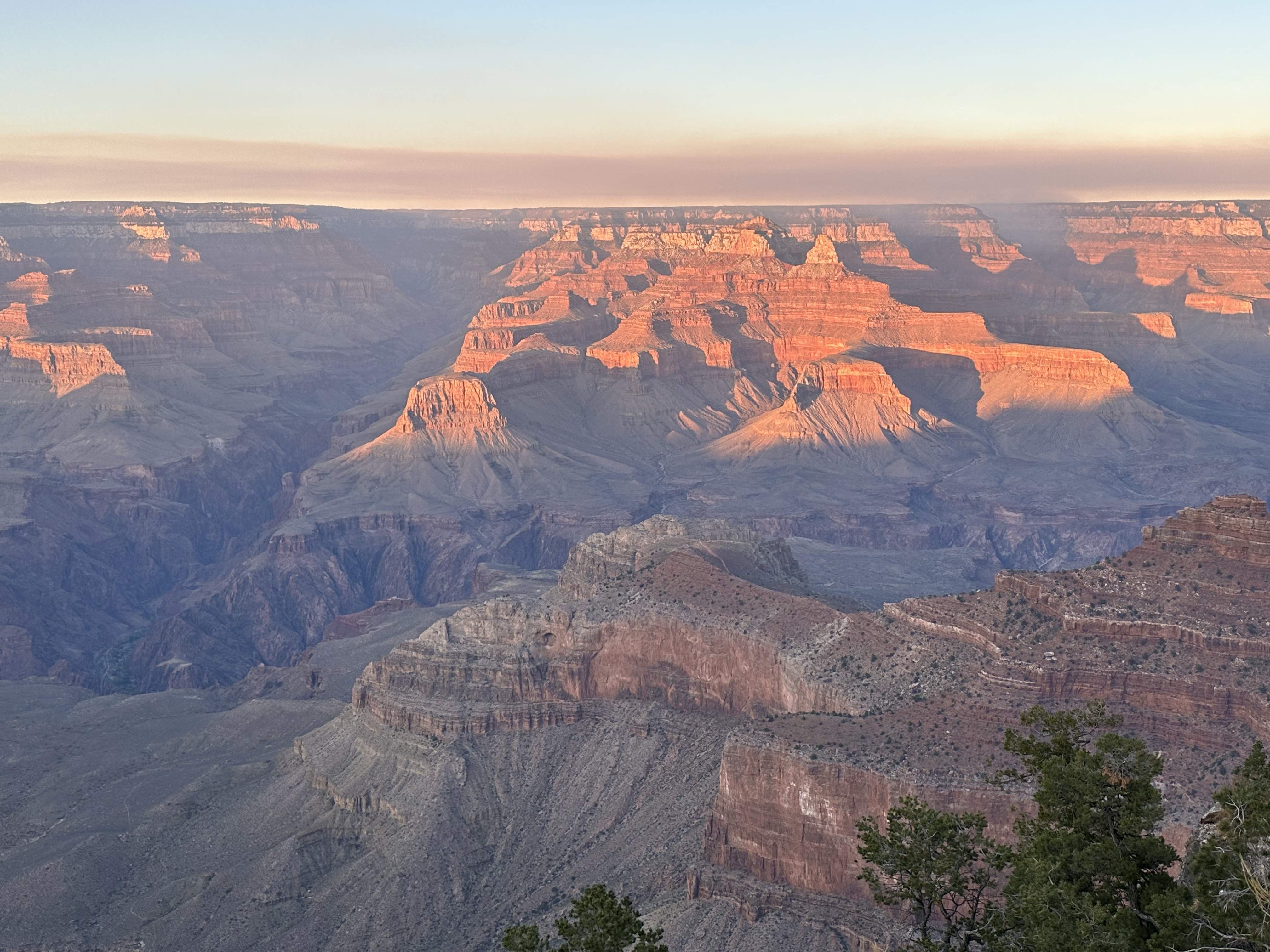
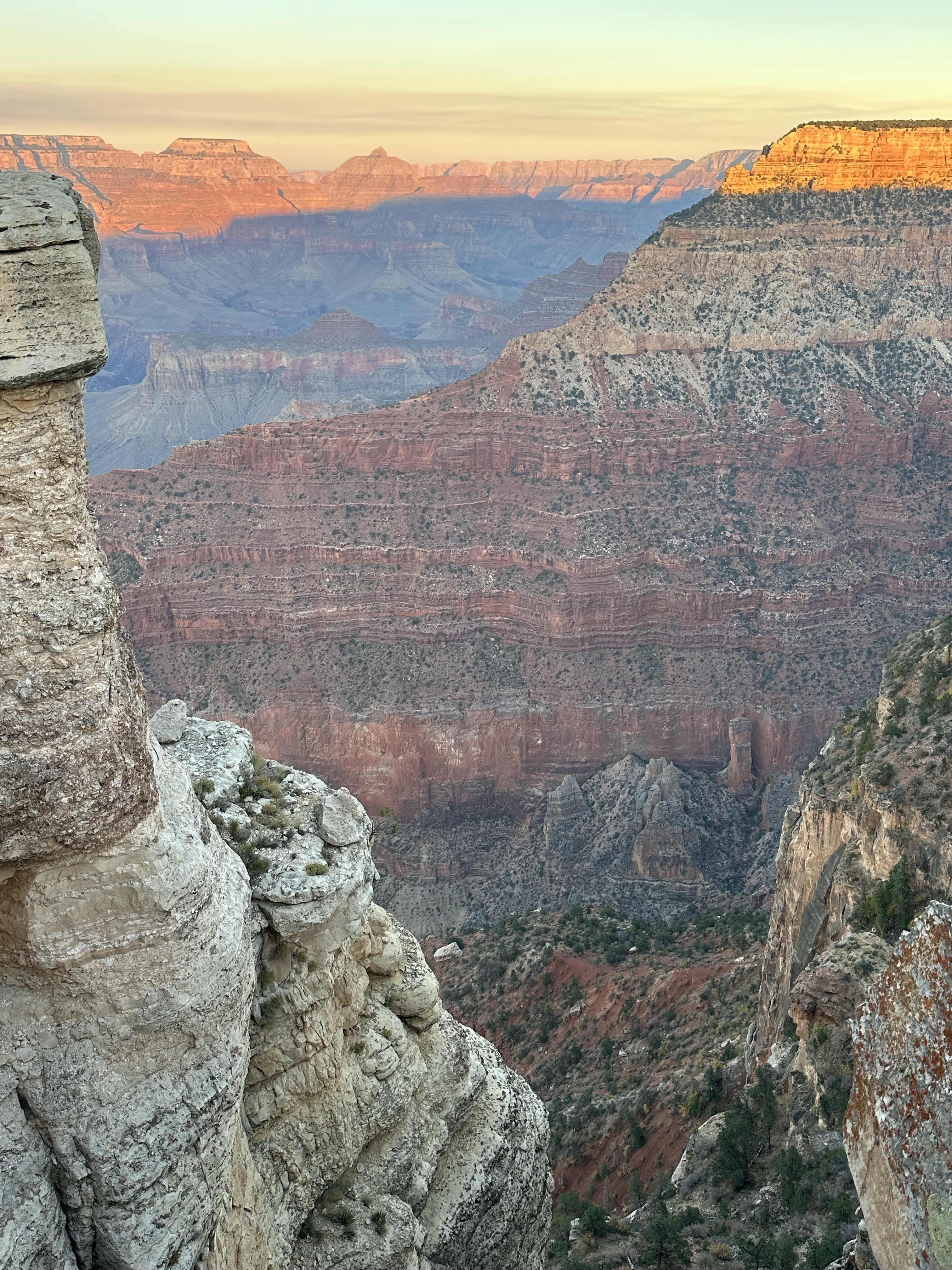
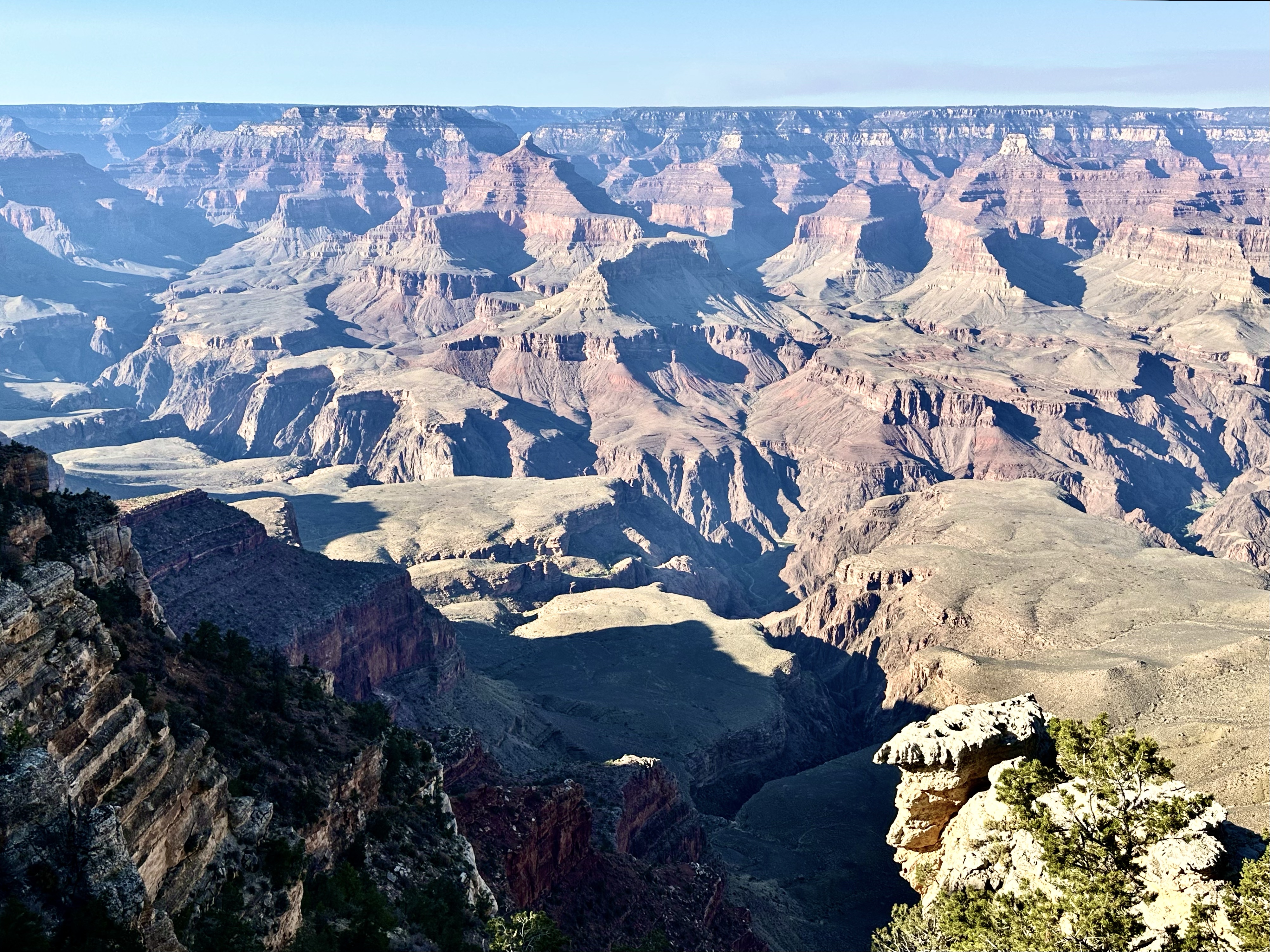

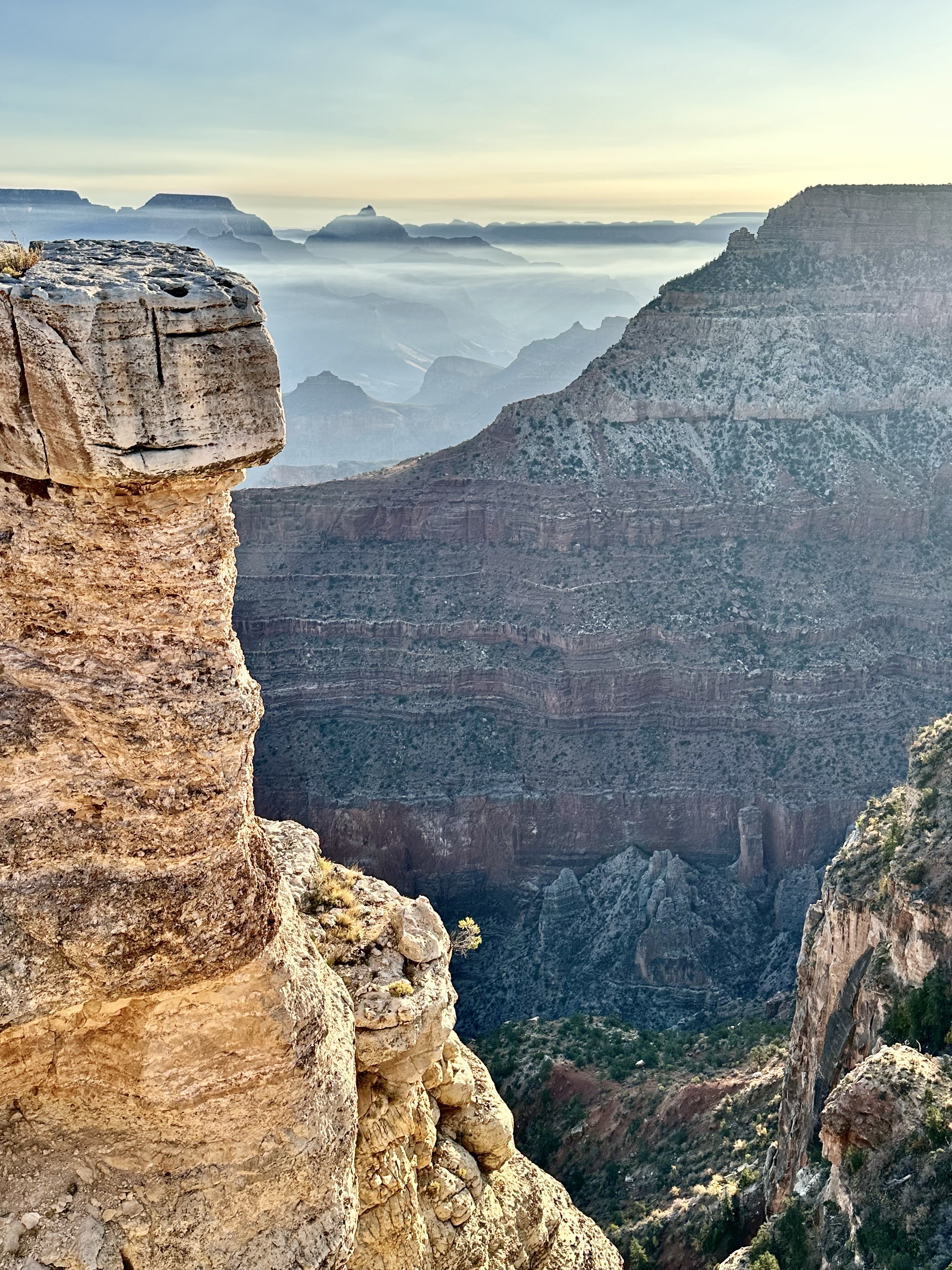
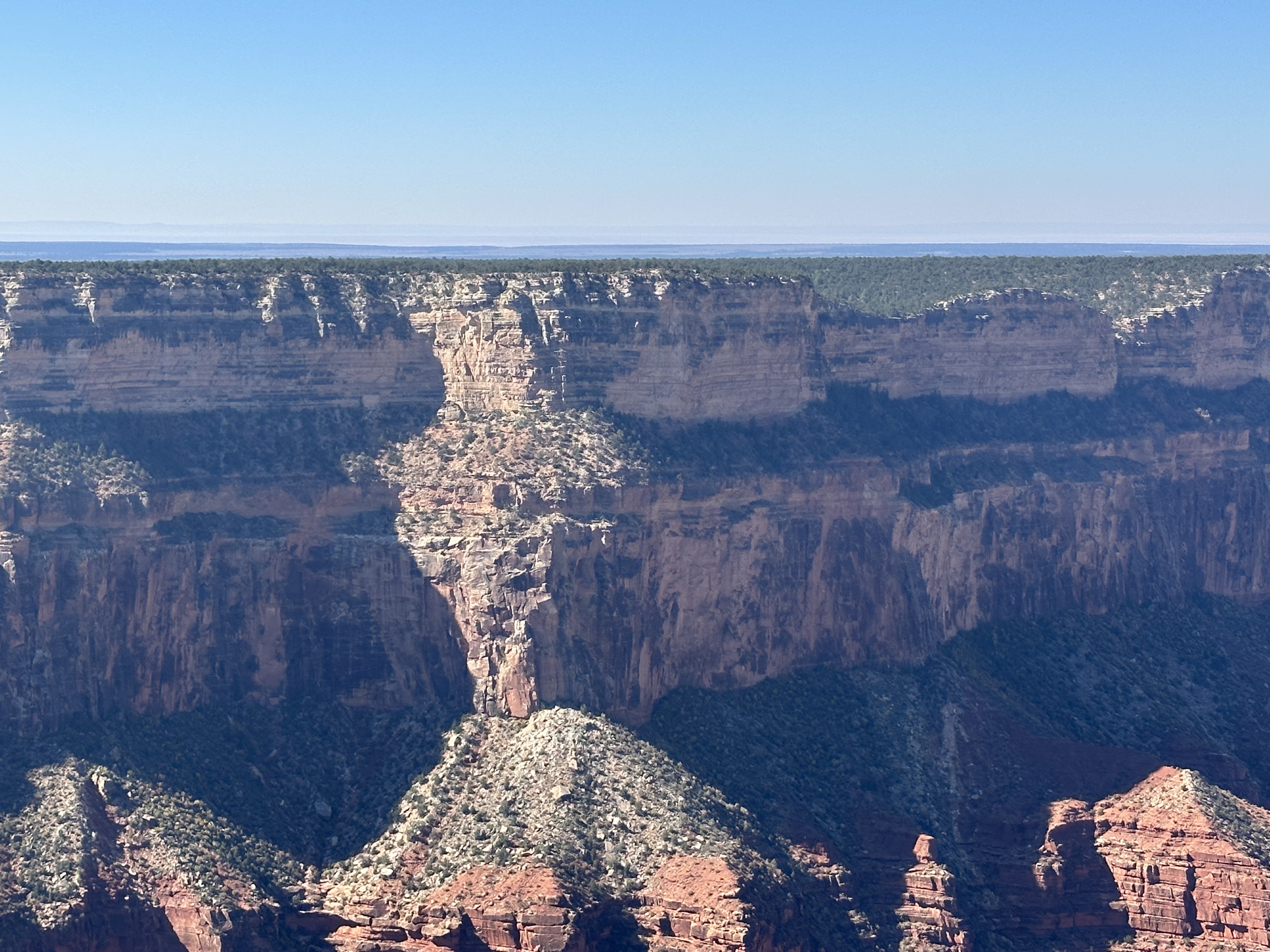
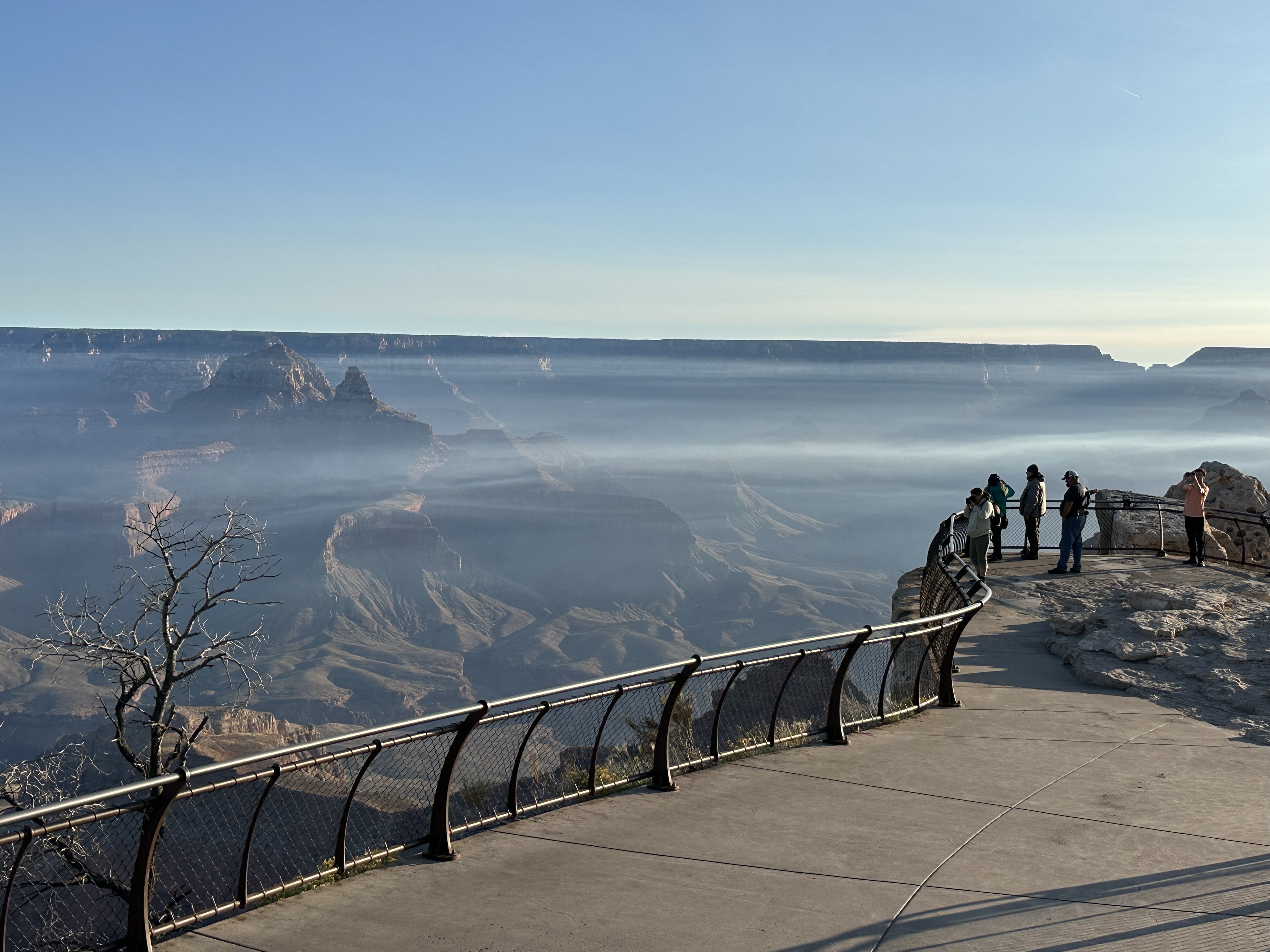
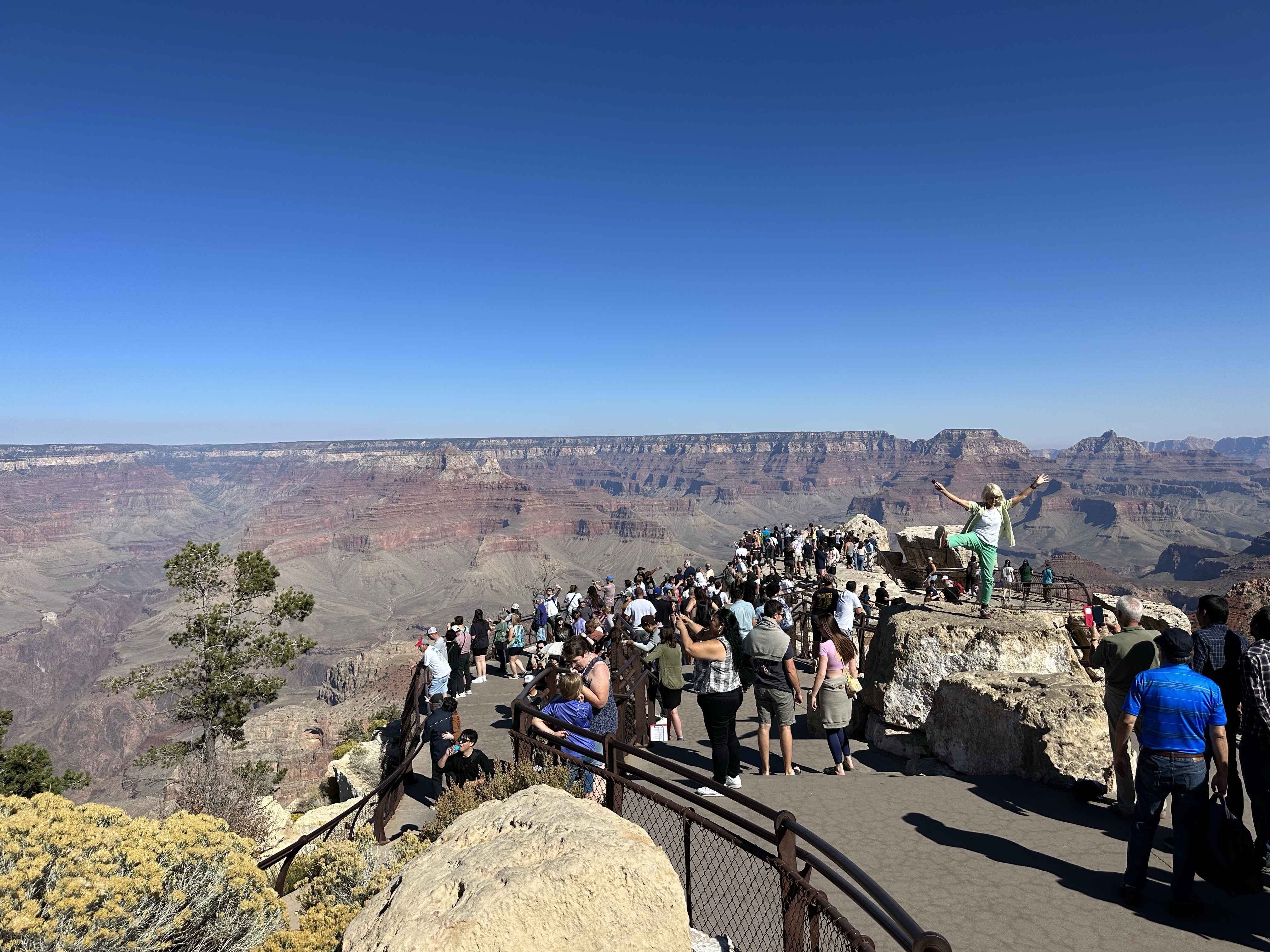
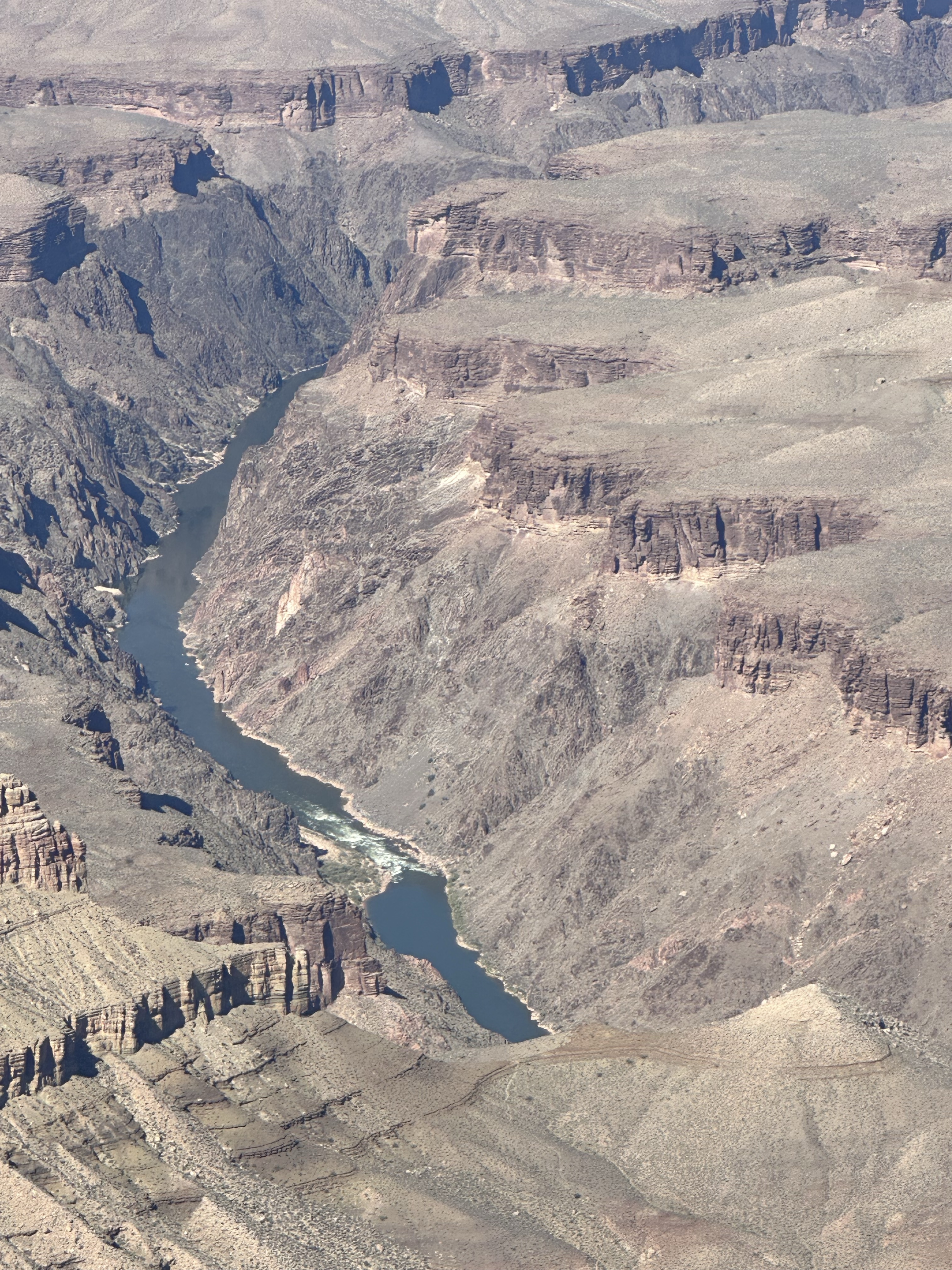
Sadly, sun up is early ( 🙂 ) so we set the alarm and cycled to Mather for sunrise, it was lovely and quiet! Then to Yavapai before a much needed coffee. From there we cycled c 25km around the south rim which has numerous view points. It was a great way to see it, rather than the hop on hop off tour bus style and we did it at our own pace, slowly. To describe it as immense is an understatement, it’s scale is quite difficult to wrap your head around and find any kind of perspective, versus anything else we’ve seen. So much so that oddly, canyons like Grand Yellowstone are more appealing. GC is 1 mile deep and can be up to 18 miles across in places. The rock colours are strongest early and late. Its fascinating to see the green tree covered flat lands and prairie lands which come to an abrupt halt at the sheer drop at the rim cliff edge. All in all, a great day on the bikes, sidestepping tourists and seeing the great wonder in all its glory. Difficult to take pics but you’ll get the gist! We didn’t stand in a queue for a photo on a rock by the way but it was fun watching everyone else! The lady in the pic was just fabulous! I aspire for her vibe!

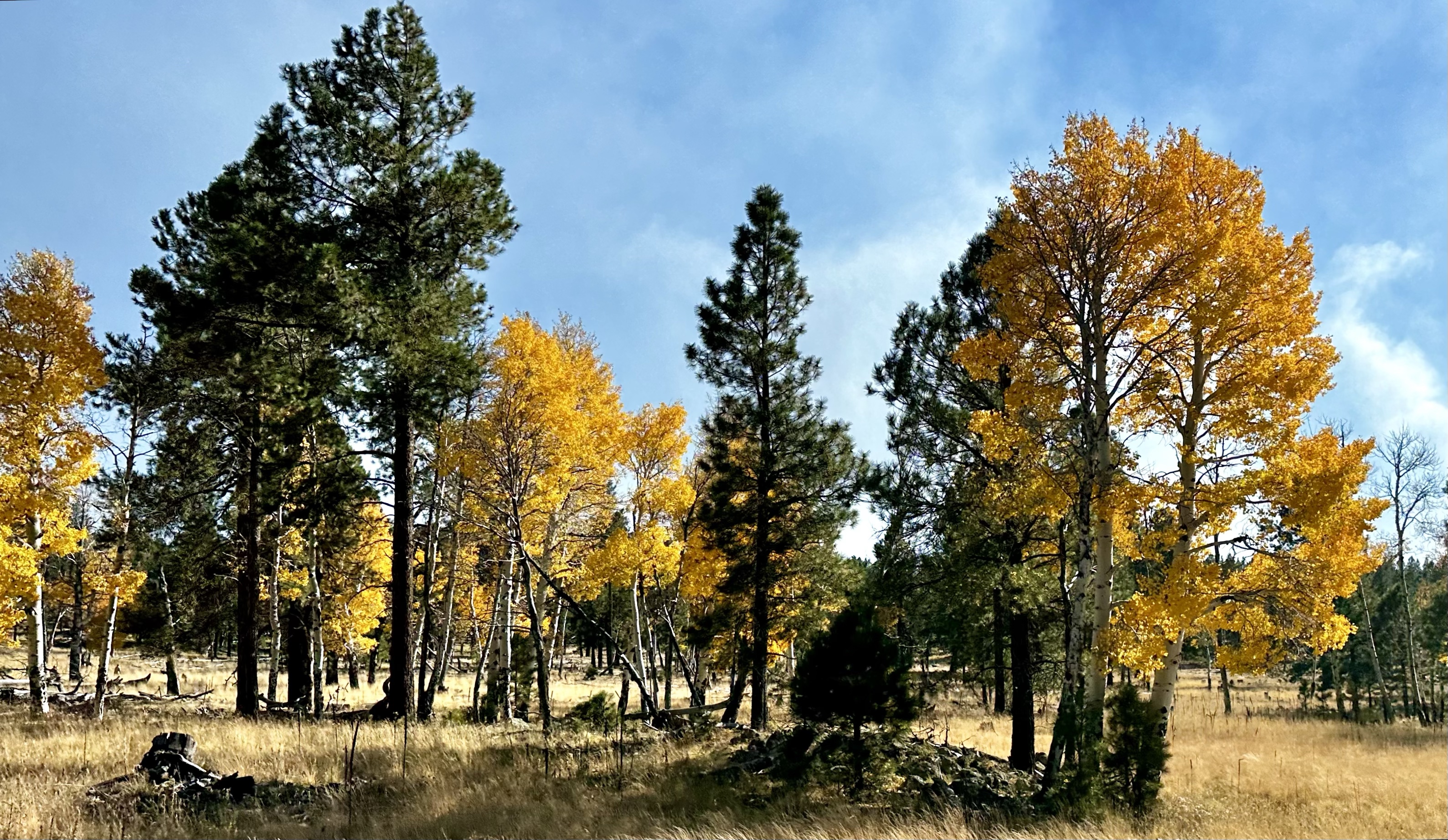
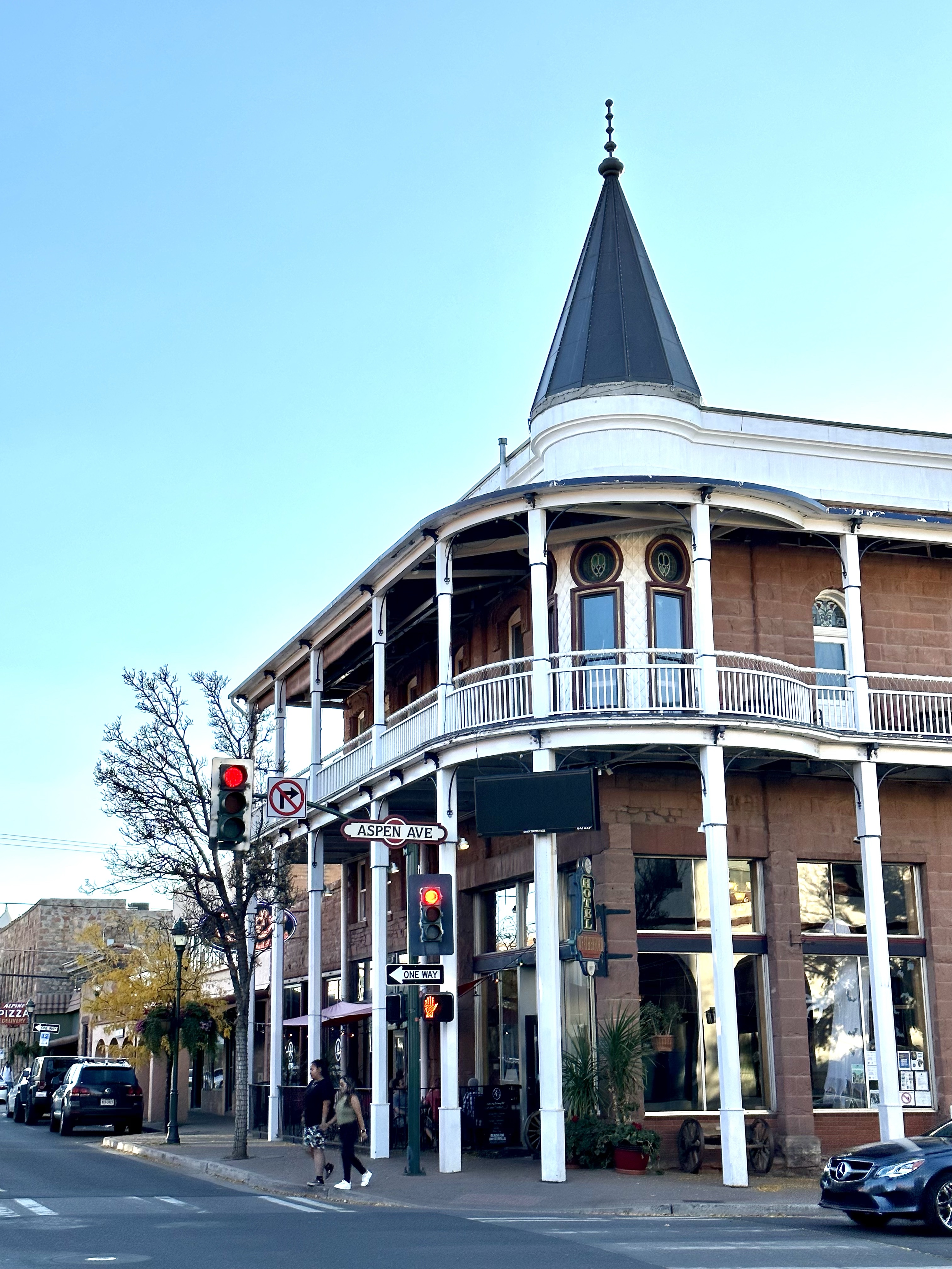
Away from GC and into the Coconino Forest en route to Flagstaff. At higher altitudes the landscape is more lush and there’s more farming. Literally, over the crest of a hill we went from forest to a stunning yellow gold prairie landscape with ranches, immediately feeling more upmarket. No RV living all of a sudden and what we’d call proper housing. Then more forests and then Flagstaff itself, a busy and vibrant student town. Lots of ‘Fall’, oh OK, Autumnal colours, the yellow fluttering leaves on the white trunked Aspen were glorious, among the darker green evergreens. Flagstaff is an all year round playground, skiing and winter sports to hiking climbing and biking.

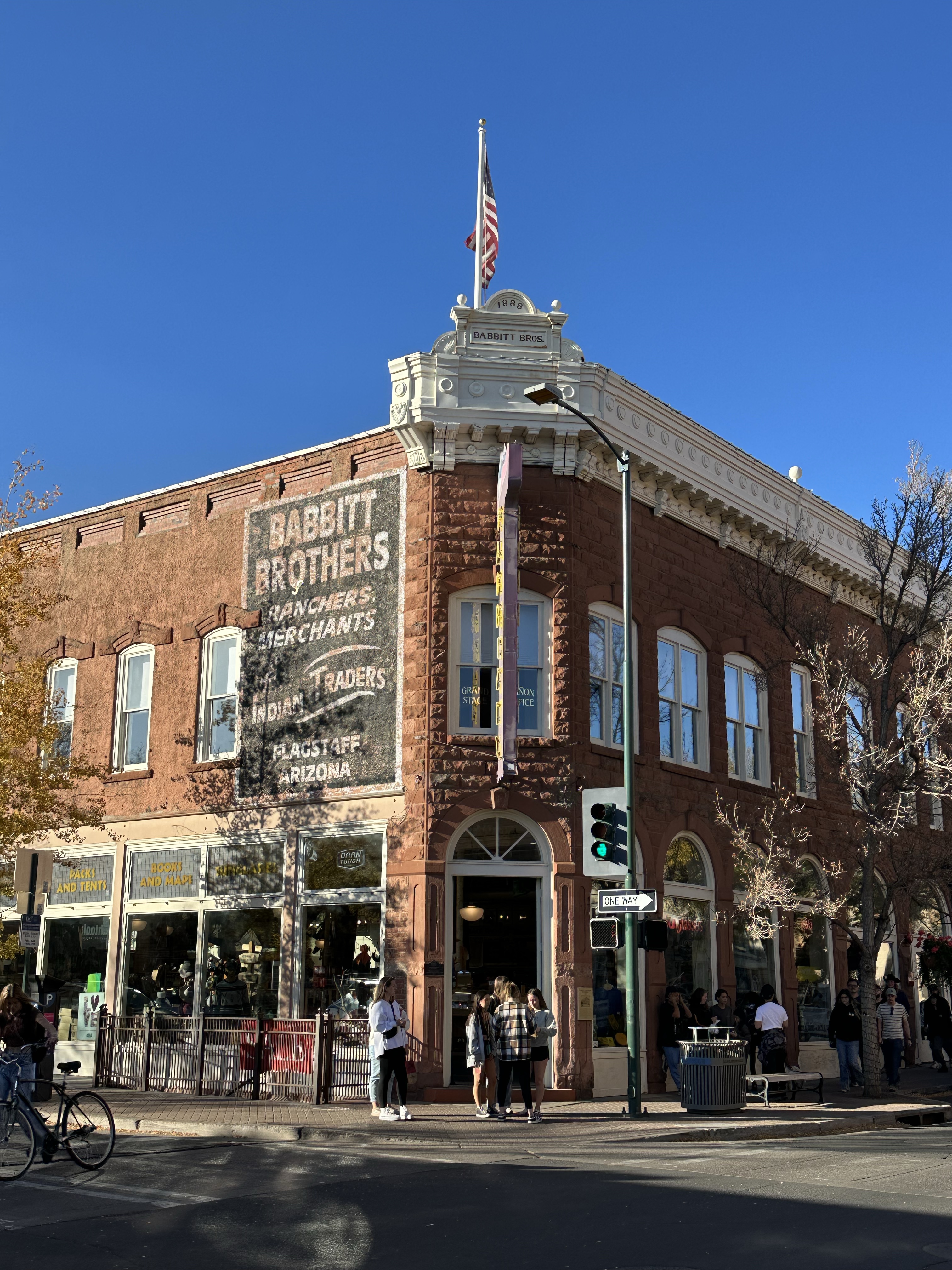
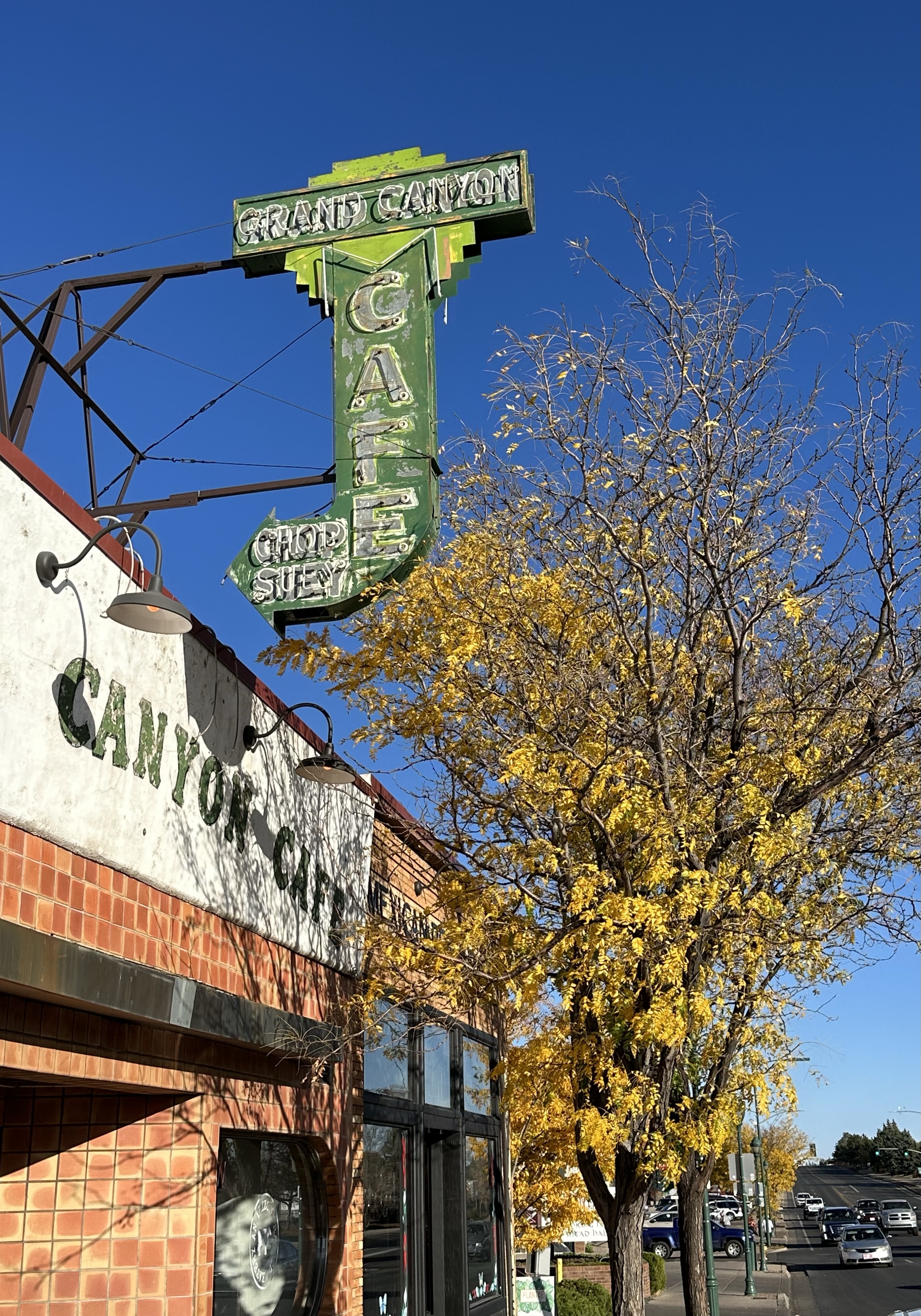
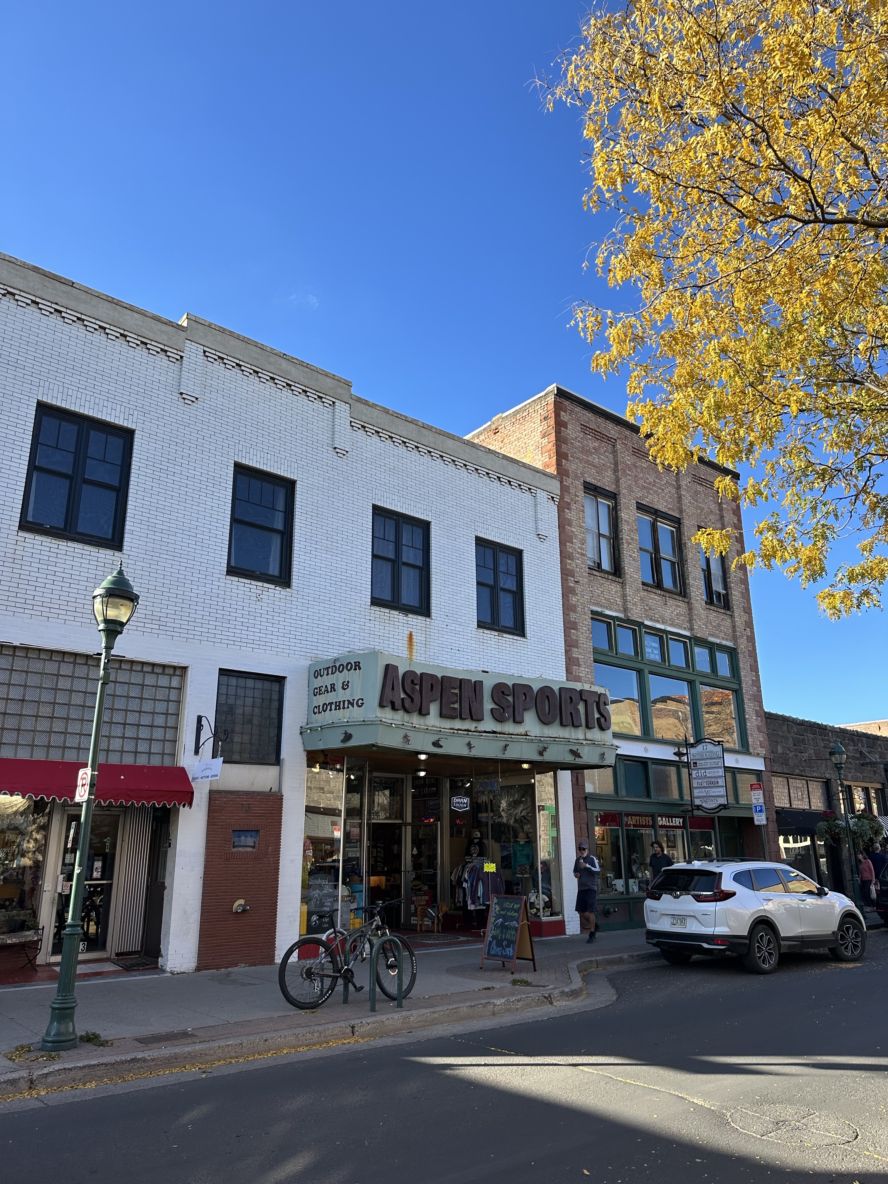
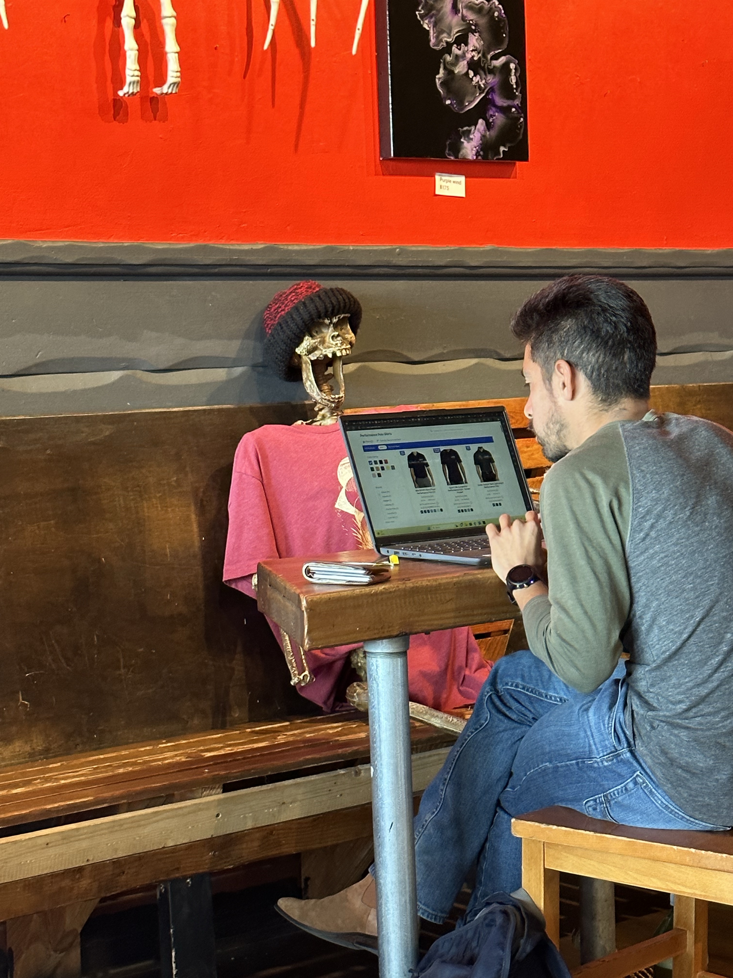
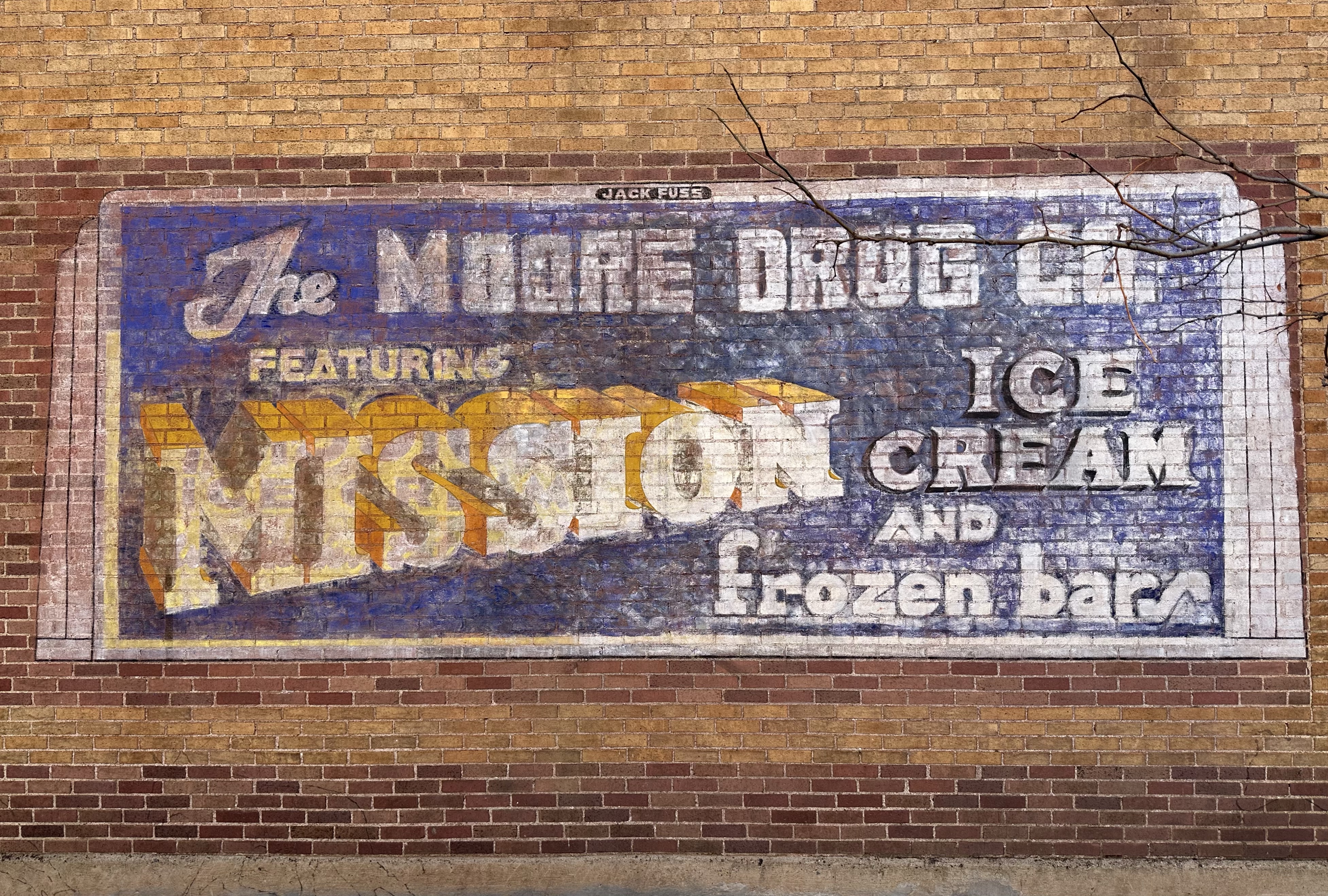
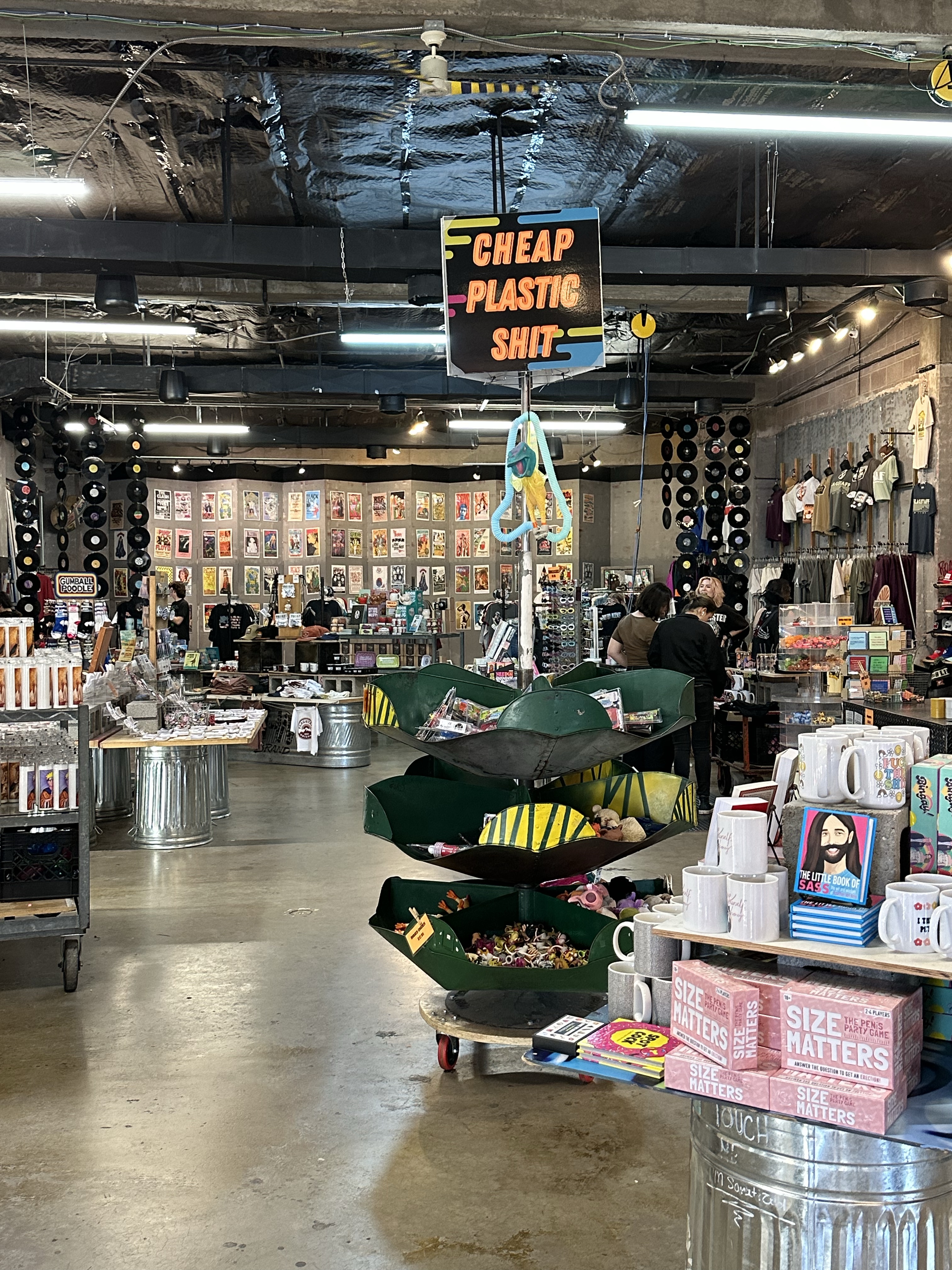
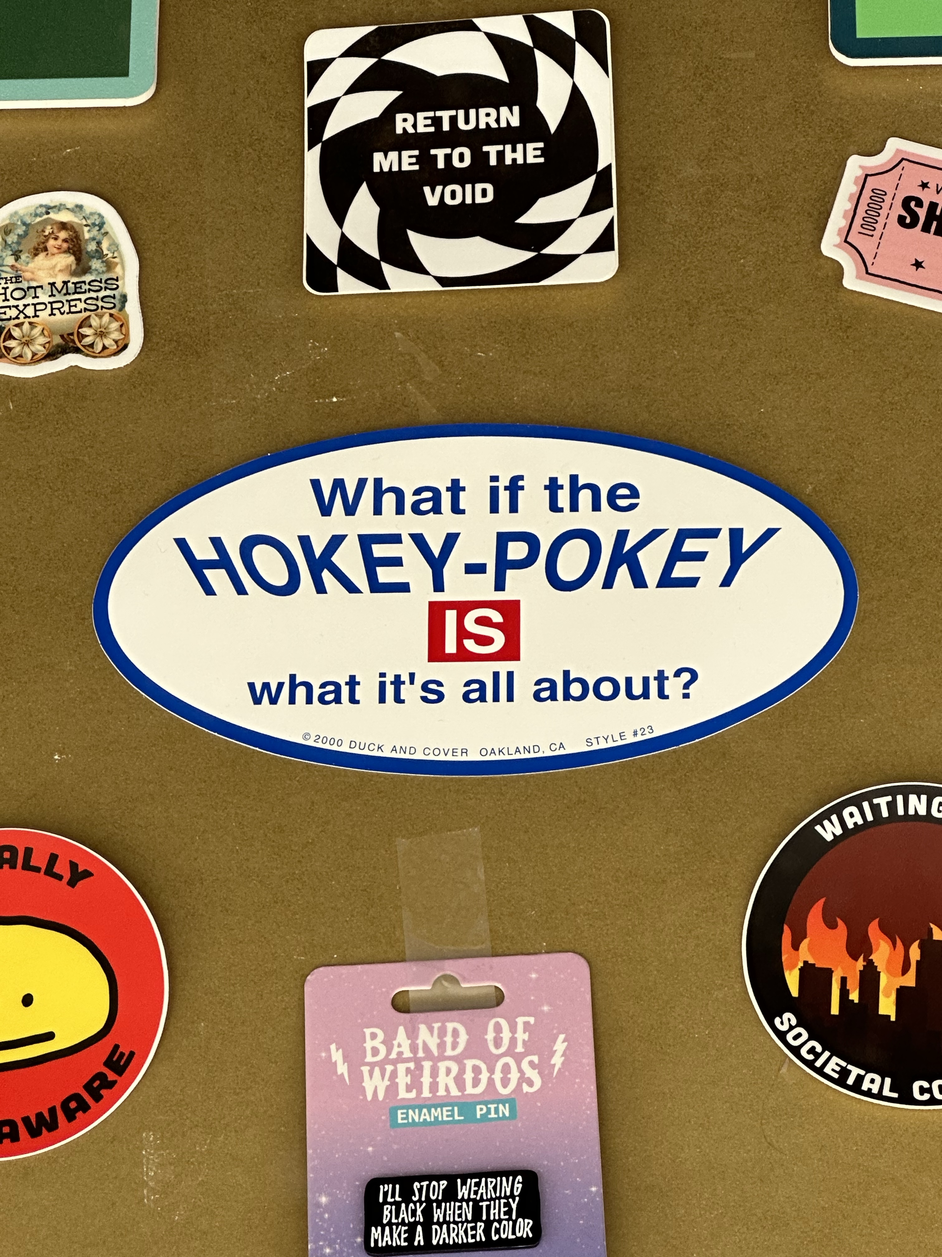
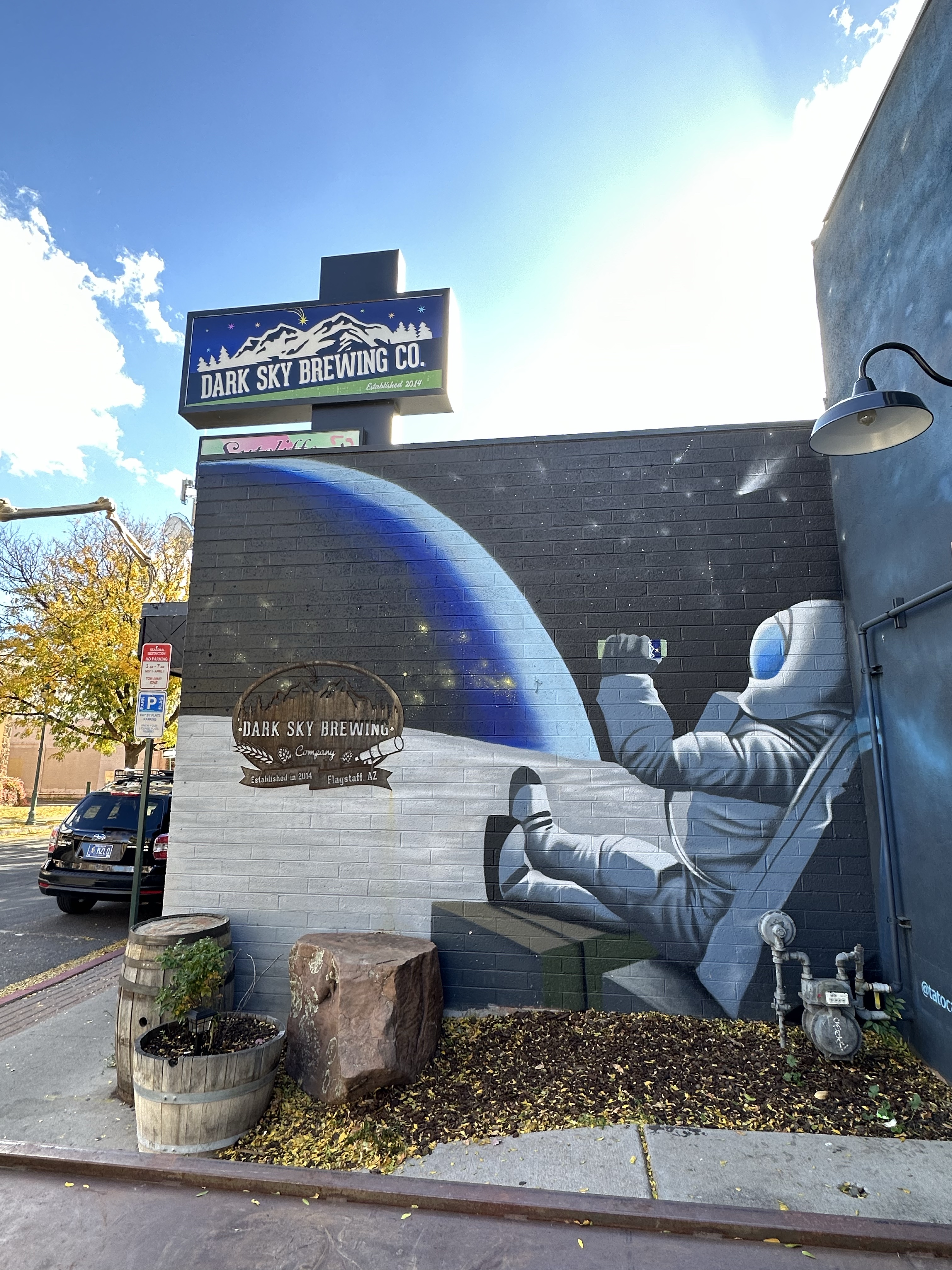
We spent some time wandering the old town area, a fabulous buzzy area, lots of coffee shops full of students on lap tops on a Sunday… do Uni students not take time off these days?! Some had clearly been there a while! So much so that it wasn’t easy finding one with two chairs for us old timers. Anyhow, a really great place, lots of street art and a shop that admittedly sold plastic junk (see pic) and some brilliant, fun, stickers and all sorts of ideal Christmas gifts! Flagstaff has done a great job of preserving its old downtown, not in a kitsch way but very authentic and without feeling overdone.

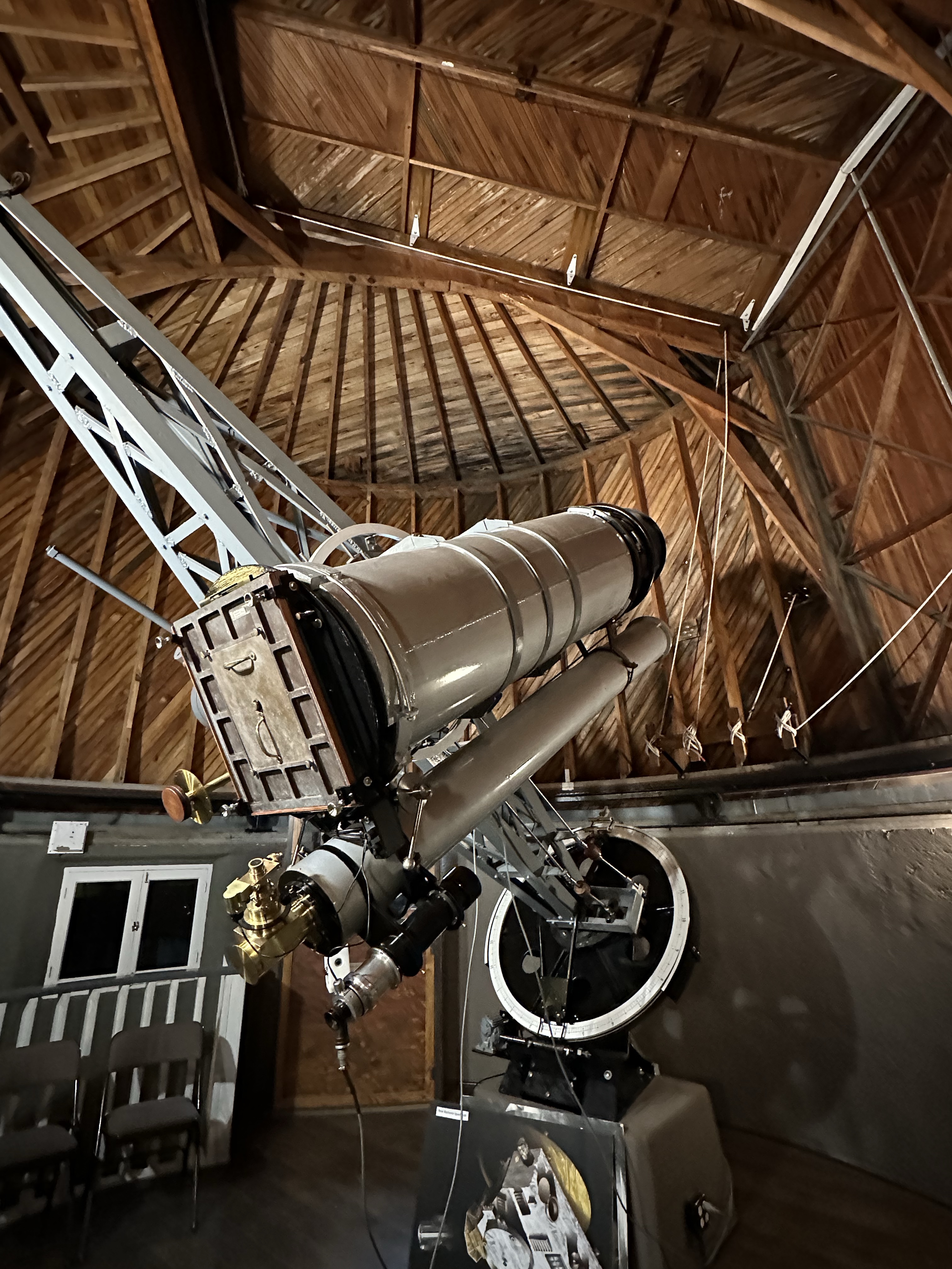
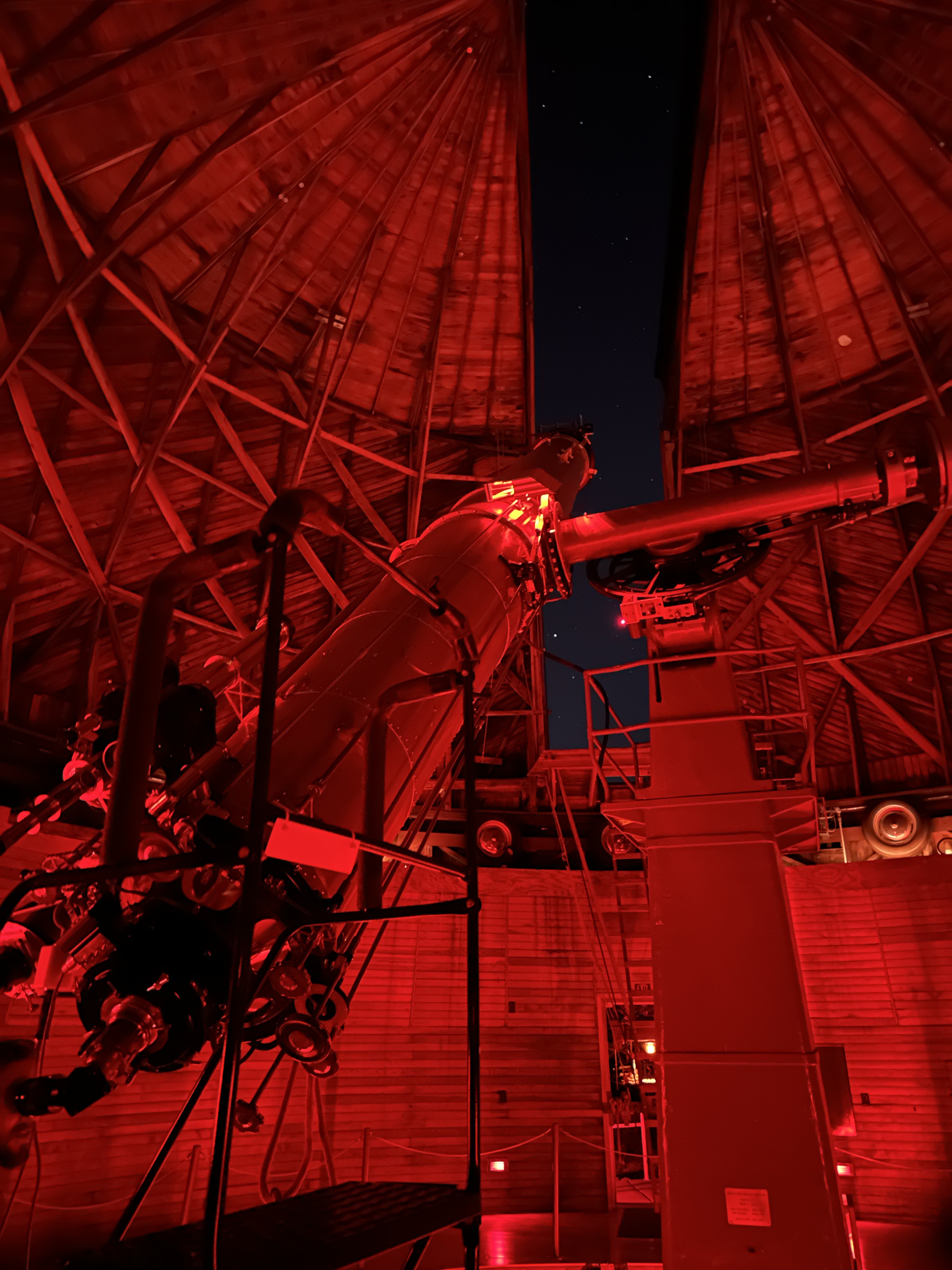
One of the first ‘dark sky preserves’ in the world, Flagstaff is more famous for The Lowell Observatory, where Pluto was discovered. There’s a fabulous museum and nightly stargazing opportunities to view through their telescopes. We viewed Saturn and her rings, and star clusters so clearly. If you are American, you can ask daft questions like ‘what is it I’m looking at?’ when looking at the moon. Their volunteers are really into their craft, the chap talking about the Lawrence Lowell Telescope used for Pluto in 1930, was so interesting (and polite!)

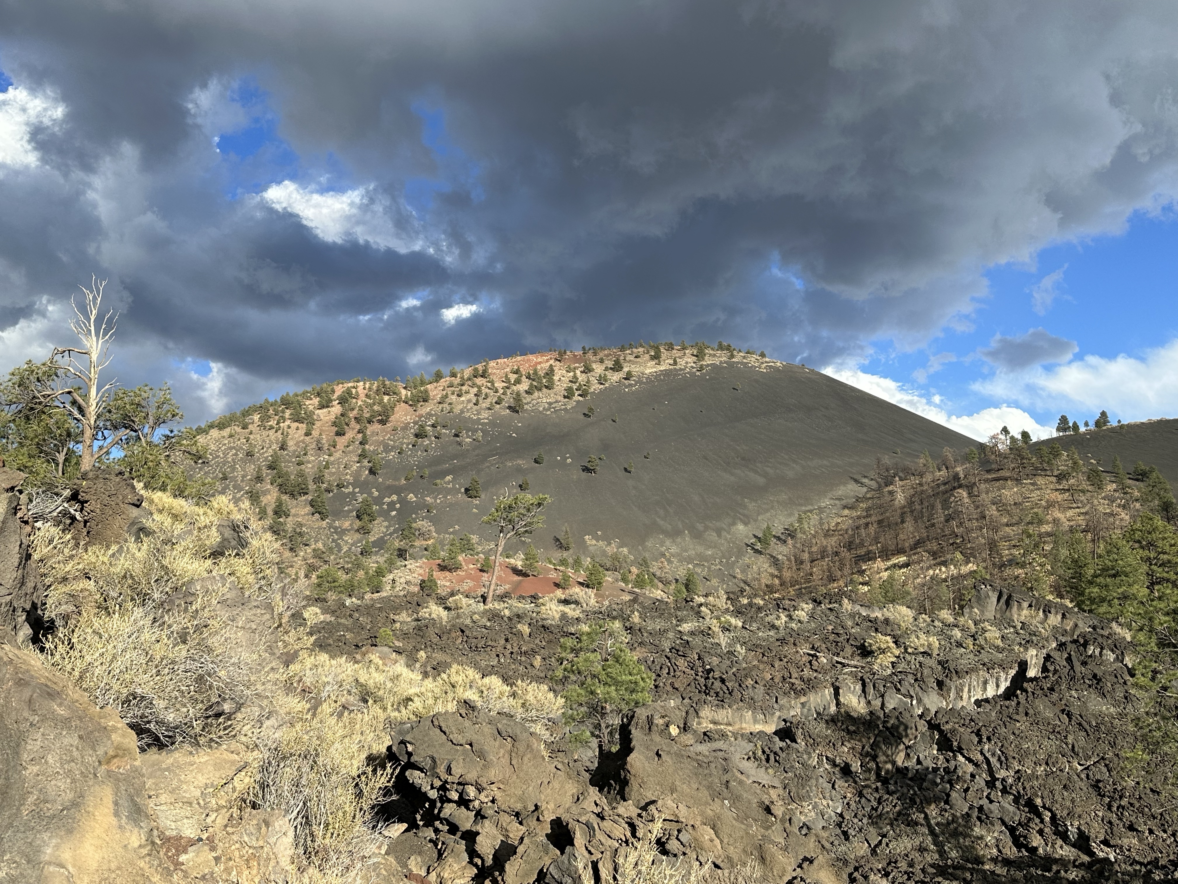
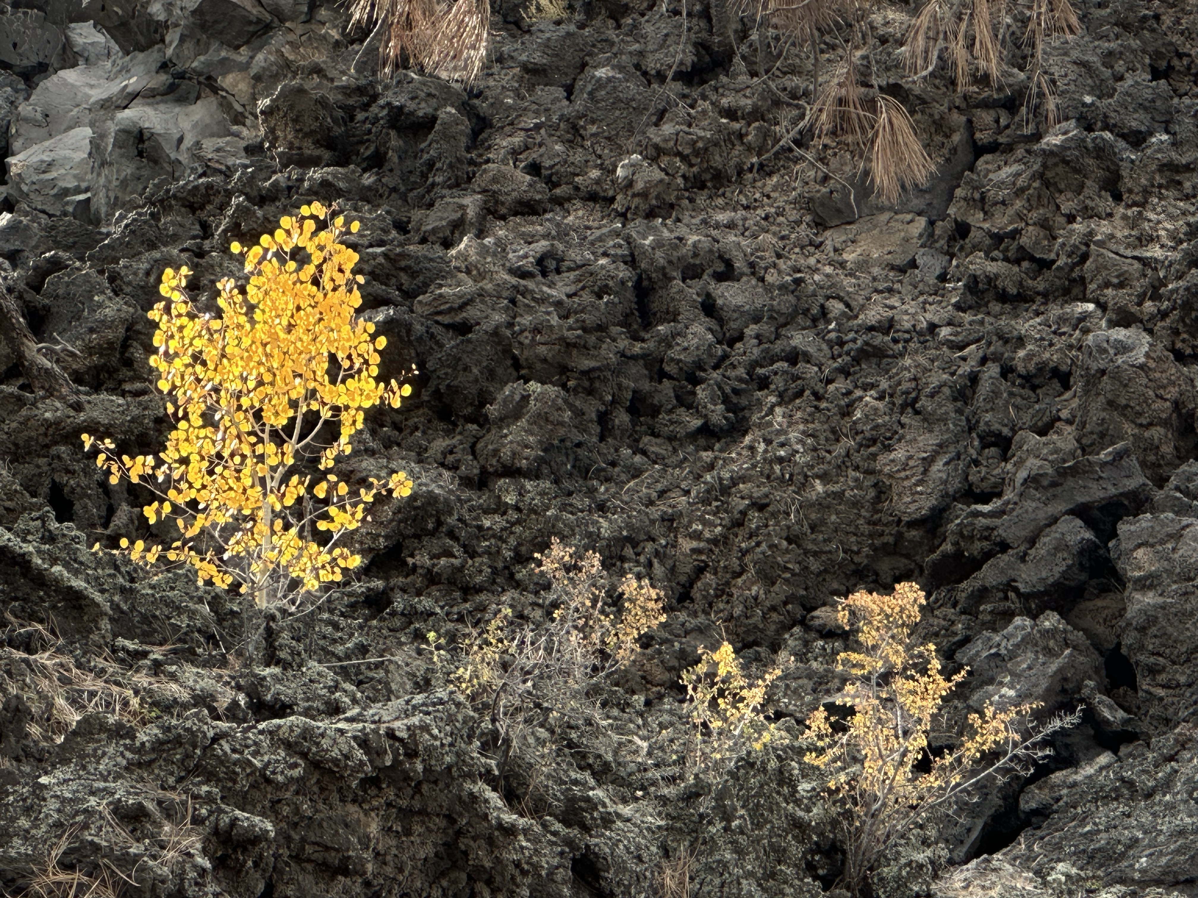
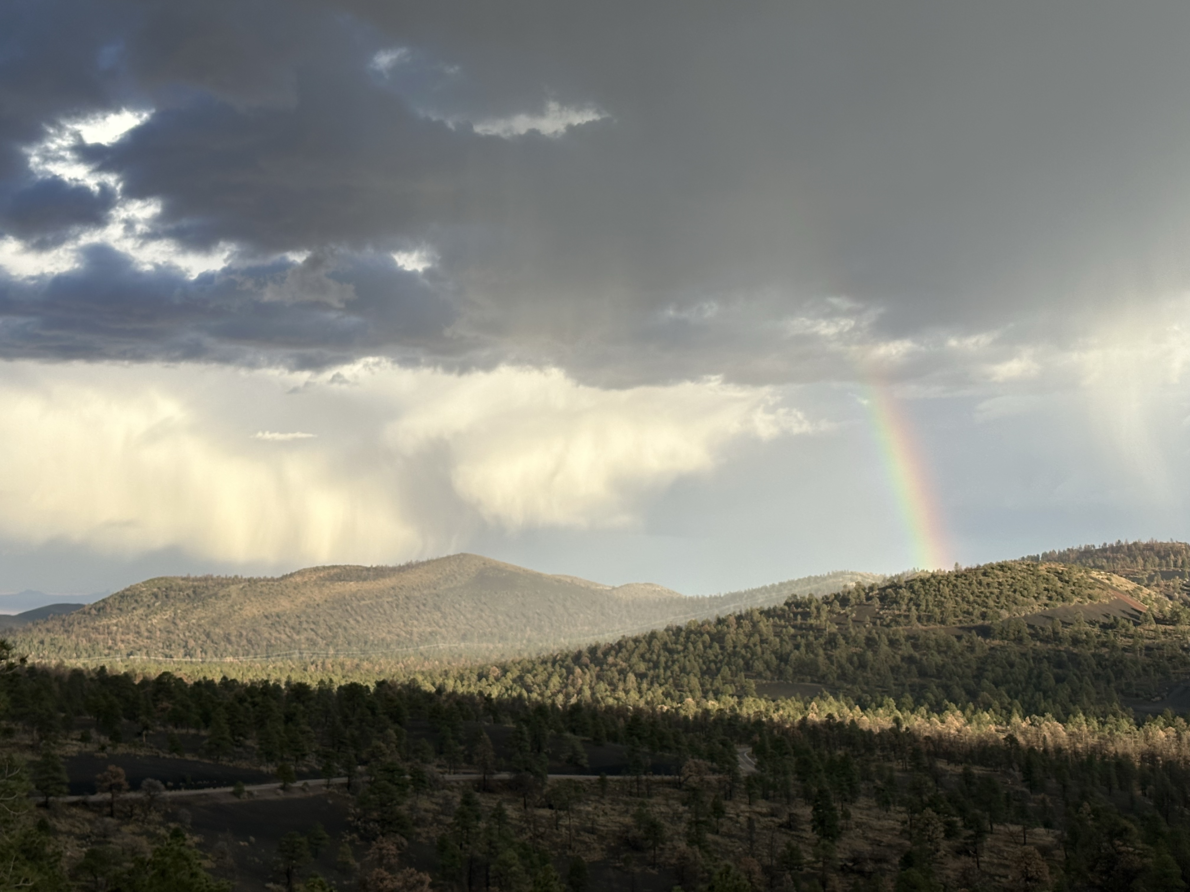
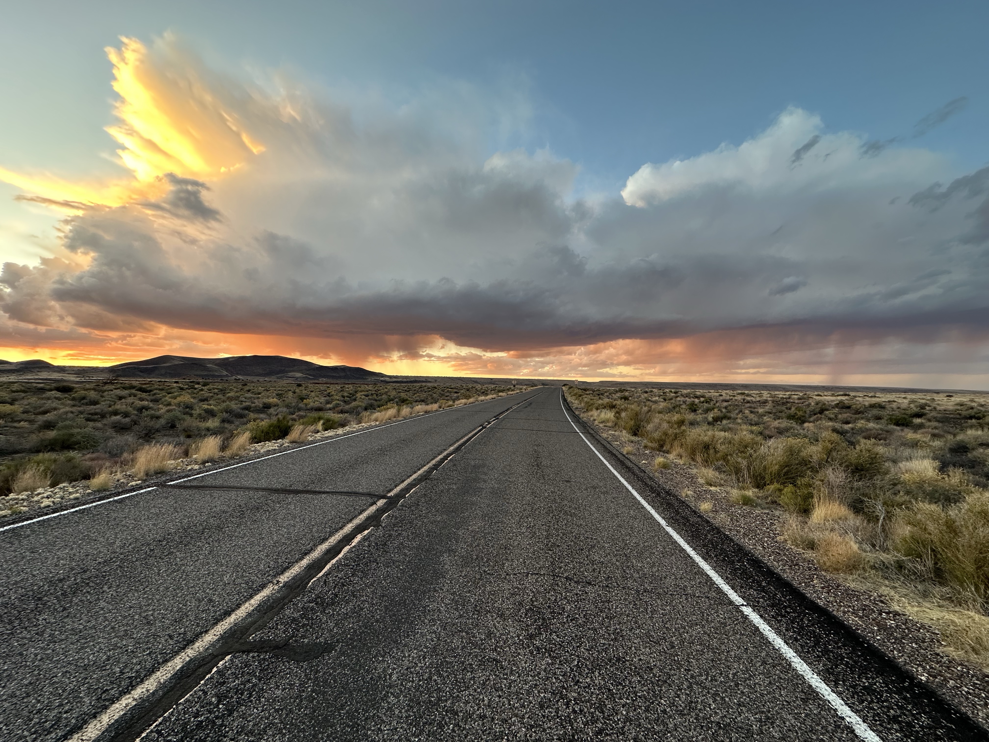
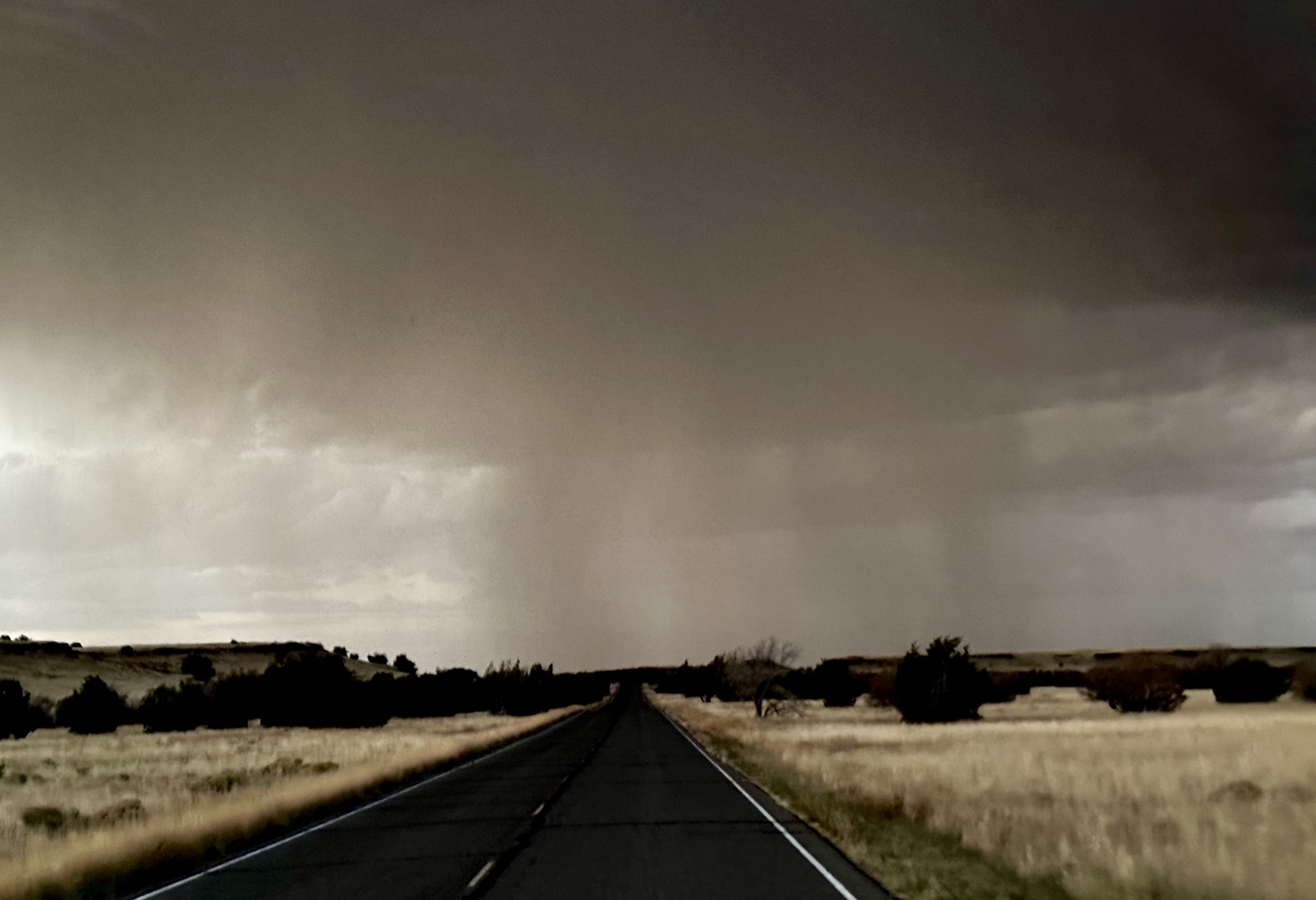
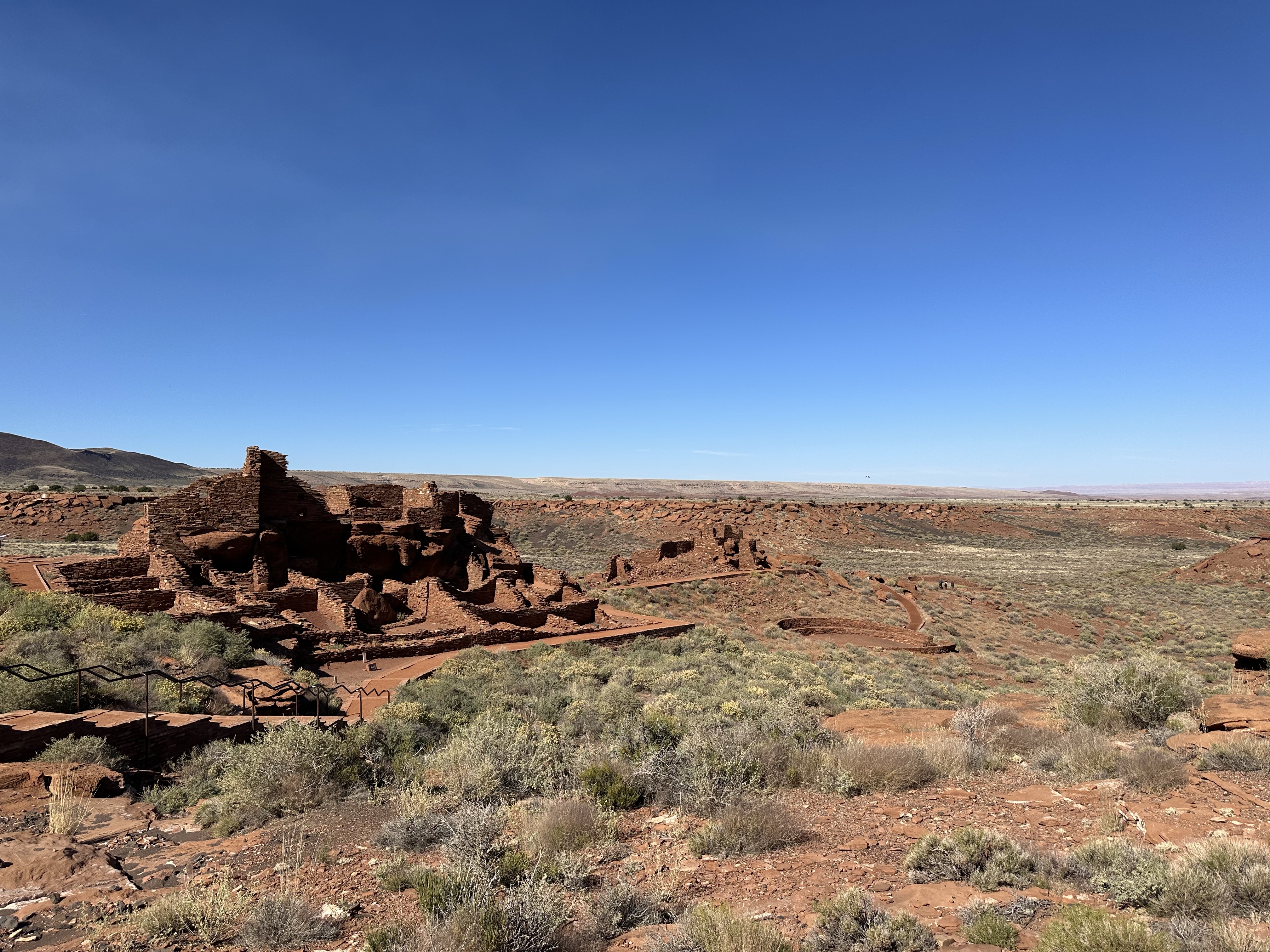
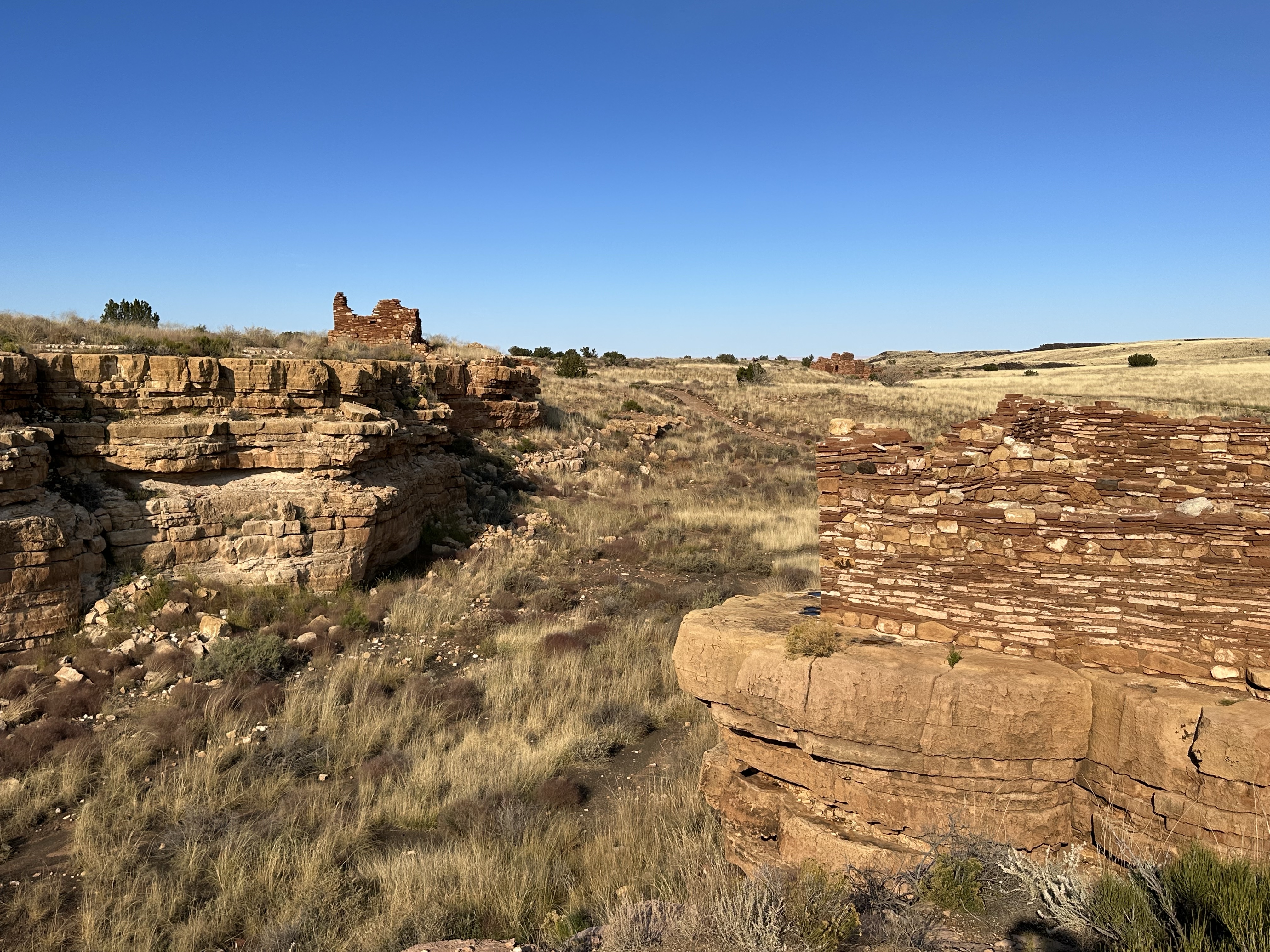
North of Flagstaff is a fascinating area called Wupatki where there remains ‘Pueblos’ and also Sunset Crater, both National Monuments. Sunset Crater is where the most recent volcanic activity has taken place in the area, erupting c. 1000 years ago. Walking around the area, we could see the Bonito Lava Flow and the yellow flowers contrasting the darkness. Great landscape, made more atmospheric by the skies. We realised a bit too late that we needed to head back to the van. Driving through the area in the dark with dramatic, thunder lighting and heavy rains was heart stopping but memorable! Probably one of the most spectacular skies either of us has ever seen.
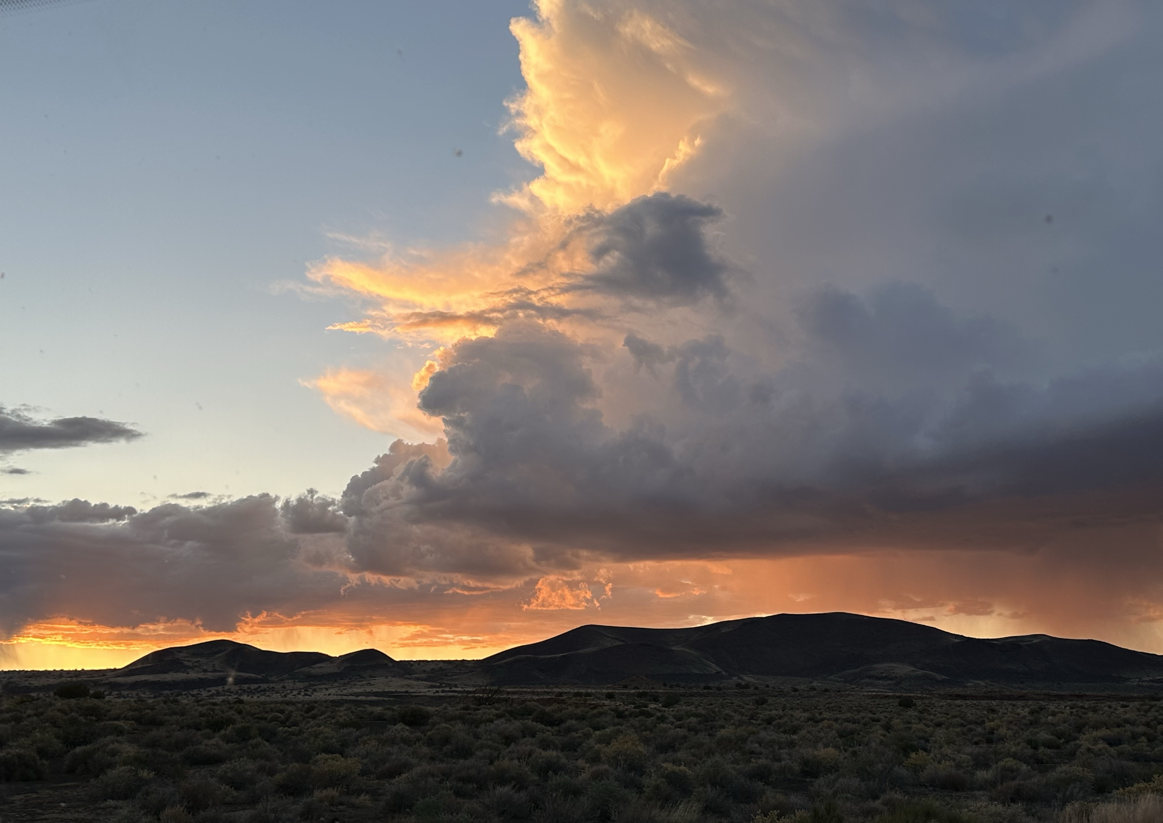

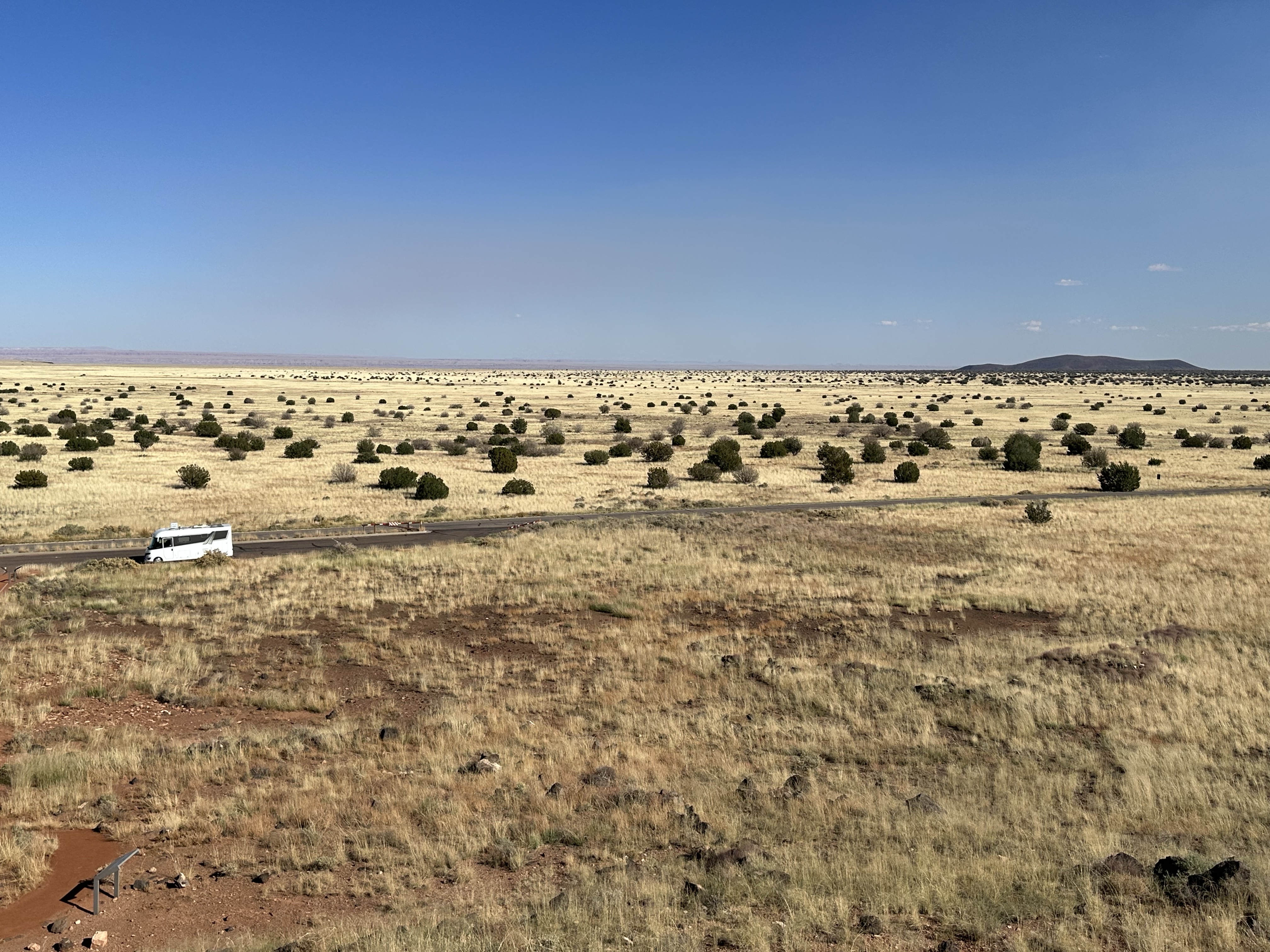
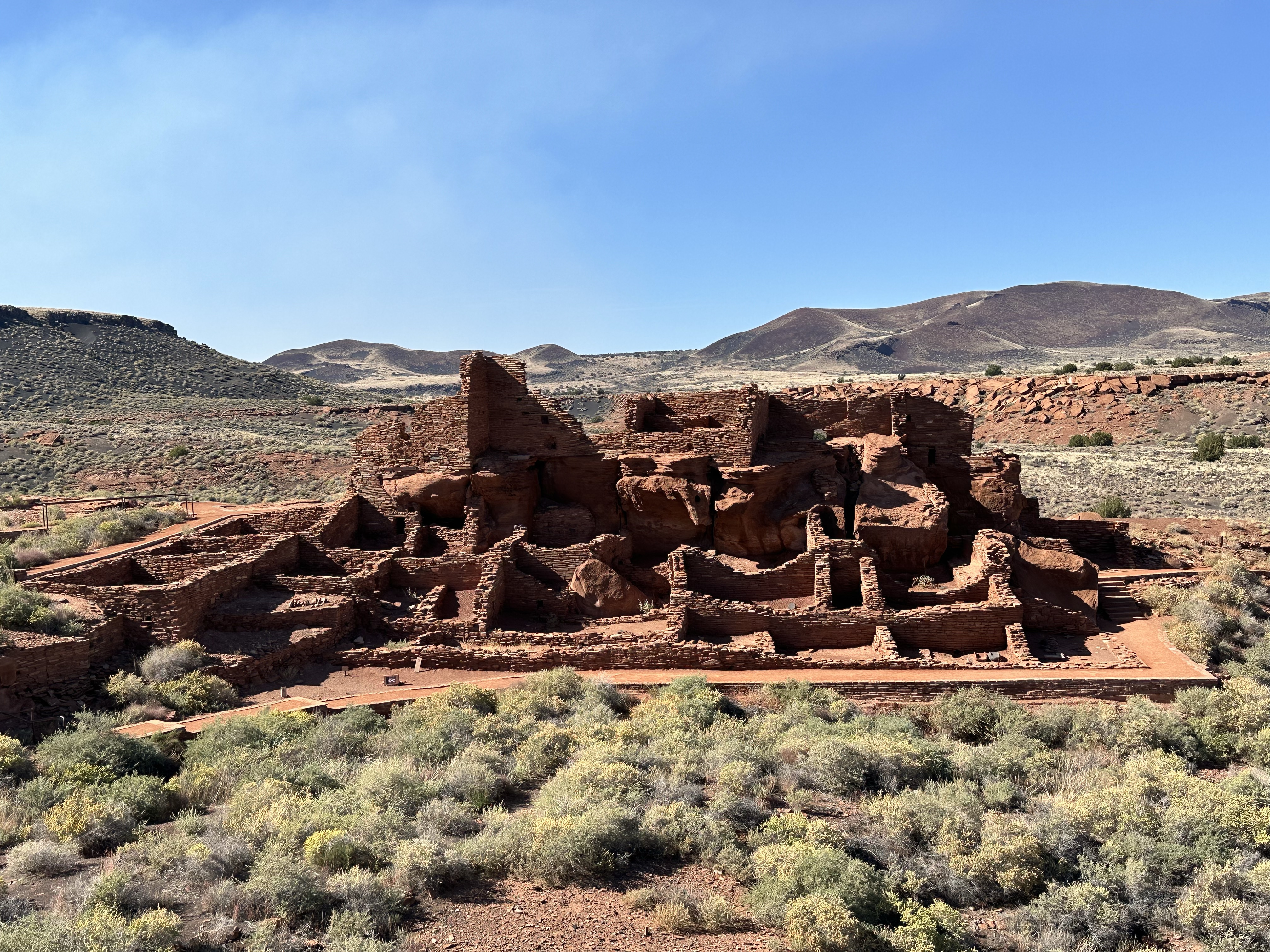
The following day it was like nothing had happened. We had arrived to camp in the dark and woke to rolling yellow fields and blue skies. We headed to the Pueblos where the Wupatki peoples had lived and we read about their shocking story at the visitor centre, like so many indigenous people, they’d been forced off their land, whole communities displaced and dismantled by greedy ranchers. The Pueblos, such as Citadel and Wupatki (main complex) date back over 900 years and show a vibrant society lived there. They were renamed Pueblos by the Spanish invaders in the 18th Century. The views from the high grounds were lovely, across the prairie landscape dotted with Juniper trees.
From there, we continued north and into Utah.
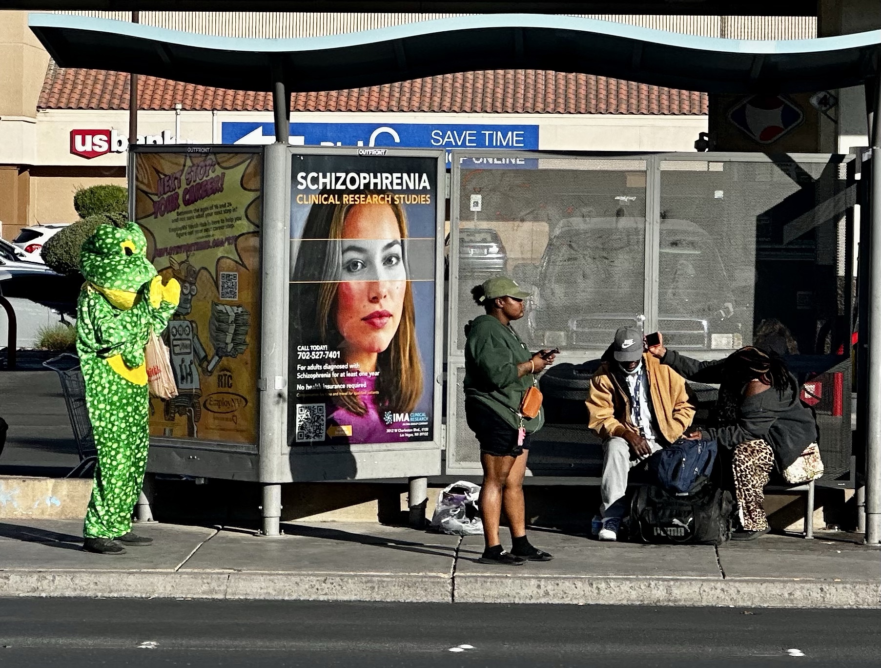
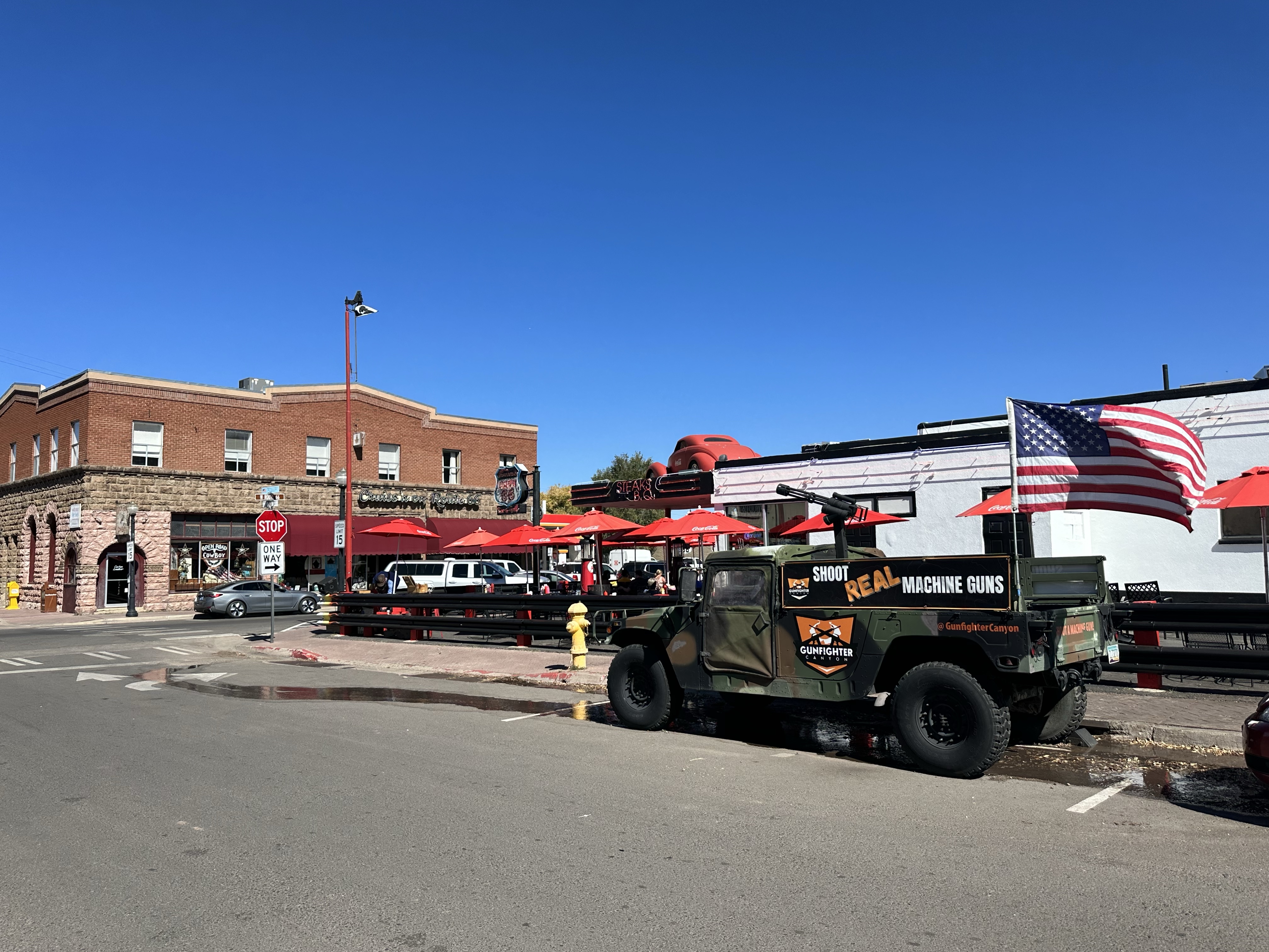
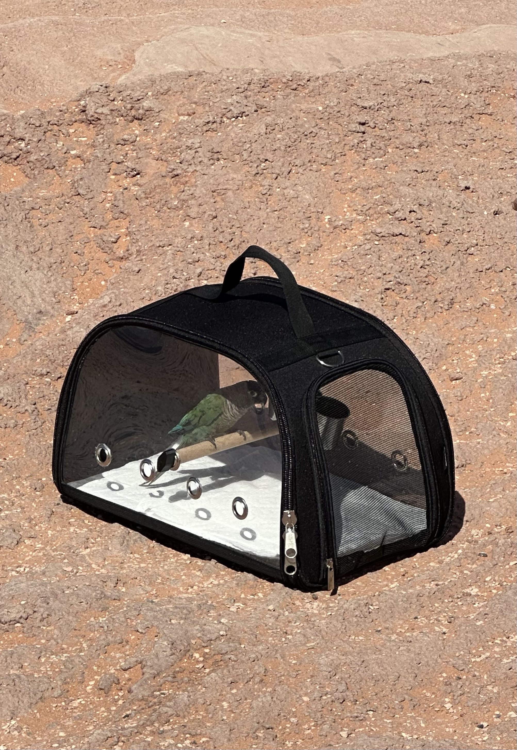
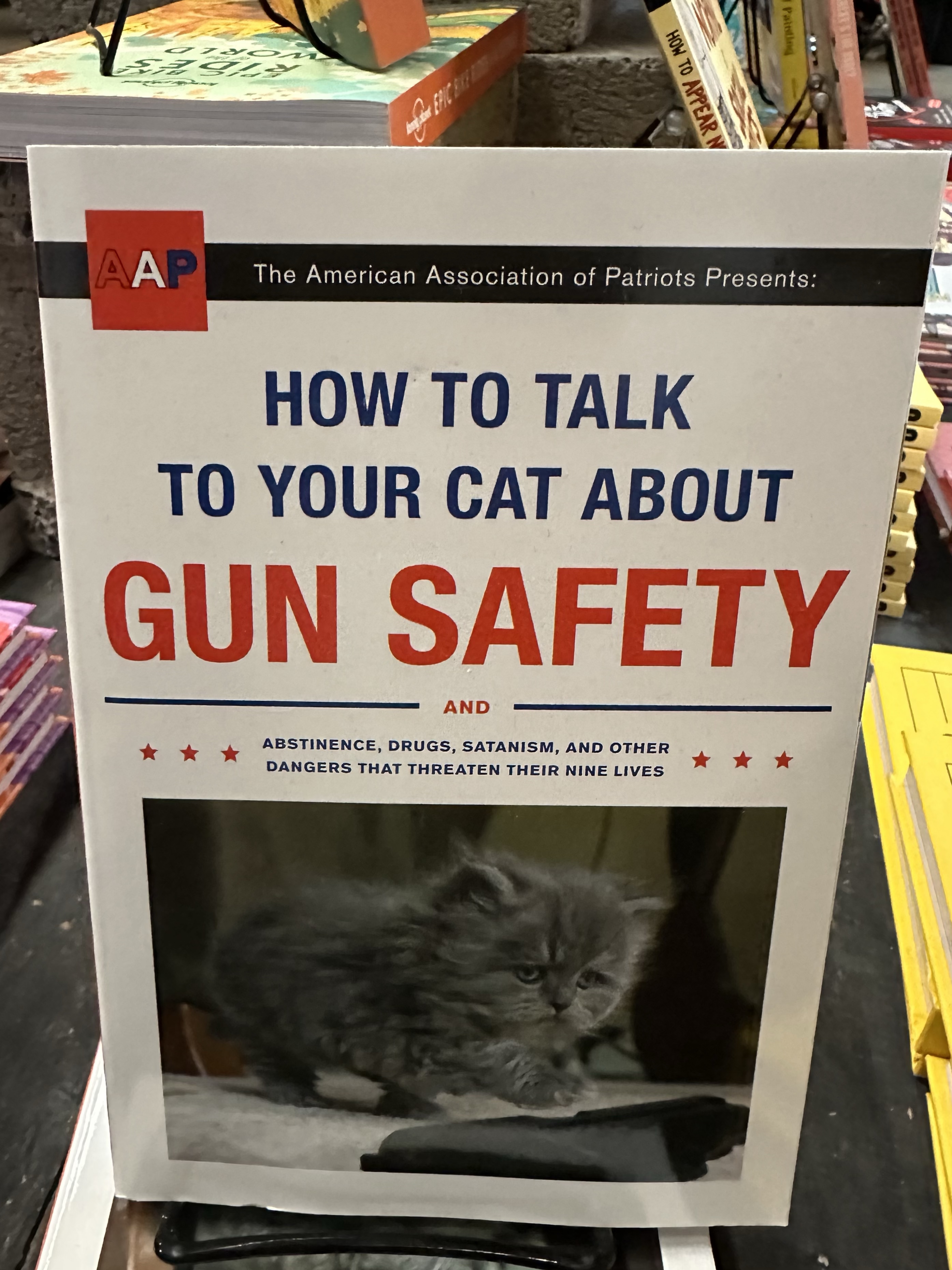
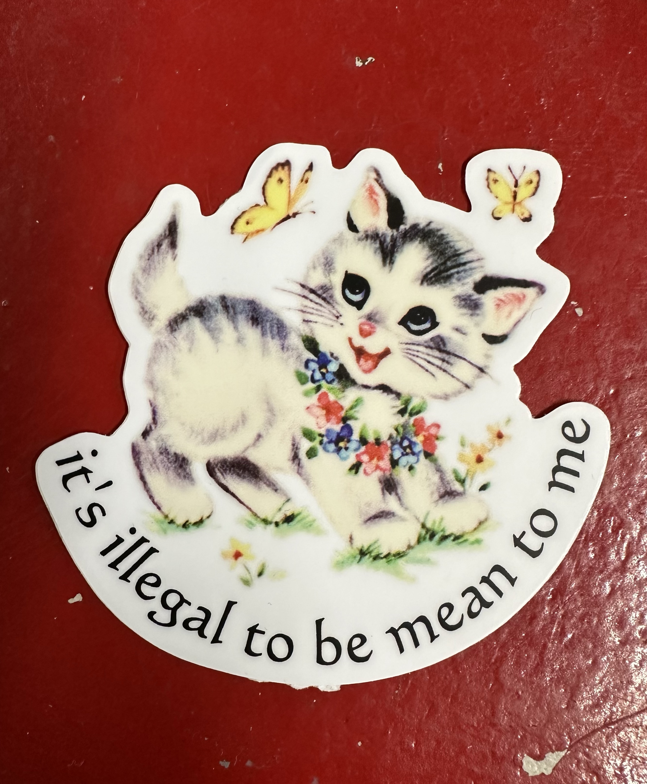
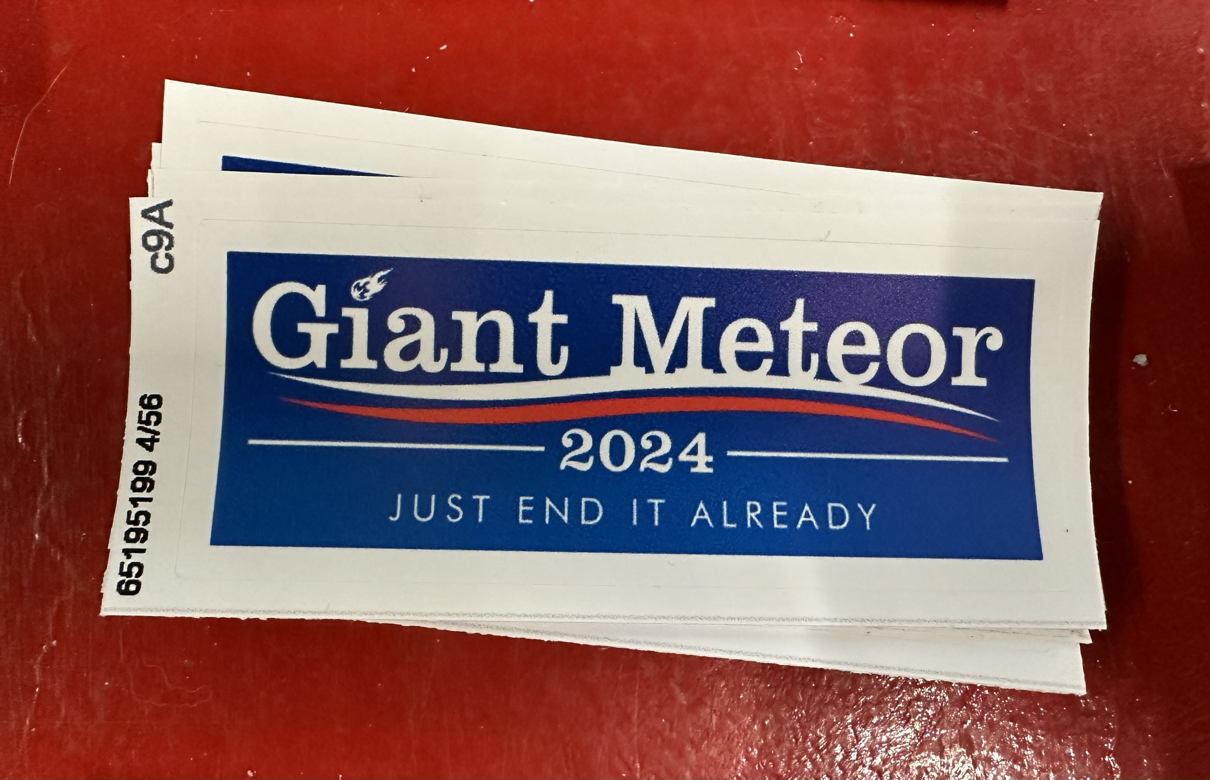
Only In America Blog Spot Just a few fun pics that you probably wouldn’t see anywhere else! They don’t have MOT’s here and someone took their bird for a walk (attention seeker we reckon!) Shooting real guns for hire and the 2nd amendment is everywhere, other than at the bus stop.